Switzerland Flag, Capital and Country Facts
Switzerland combines the Alps, the Swiss Plateau and the Jura with considerable linguistic and political diversity. This landlocked country in the heart of Europe has many large lakes but no coastline. Bern is the answer in the quiz: officially the federal city, it performs the functions of a capital in practice.
Test your knowledge →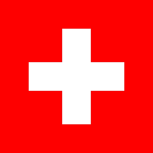
Switzerland at a glance
- Federal city
- Bern
- Quiz continent
- Europe
- Languages in reference record
- National languages: German, French, Italian and Romansh
- Currency
- Swiss Franc (CHF)
- Population
- 9,092,436 (2025, World Bank)
- Area
- 41,284 km²
- Coastal setting
- Landlocked
- ISO codes
- CH / CHE
- Internet country suffix
- .ch
- Cantons
- 26
- Highest point
- Dufourspitze, 4,634 m
- Federal holiday
- 1 August
- Capital river
- Aerials
- Northwestern Mountains
- Jura
- UNESCO City
- Old Town of Bern
Switzerland Flag: Design, Meaning and History
Bern is the federal city and the seat of the government and parliament.
The Swiss flag is square and carries a white, freestanding cross on a red background. Its four arms are of equal length; the cross does not touch the edges. Both the square and the free cross shape clearly distinguish the motif from the rectangular Nordic cross flags, whose cross extends to the edges.
The white cross marking dates back to the history of Swiss troops. The Red Cross later used the reverse color position as a protective and organizational sign. This relationship helps to remember: the state flag has the white cross on red, the humanitarian sign a red cross on white.
Federal city: Bern
Bern has been the seat of the federal government and parliament since 1848. Its official designation as the federal city (Bundesstadt) reflects the fact that Switzerland has not established a capital in the narrower legal sense. Bern is therefore the appropriate quiz answer; Zurich is not an alternative capital despite its size and economic importance.
The old town of Bern is located in a location characterized by the river Aare. Its historical core belongs to the UNESCO World Heritage. This brings together two levels in Bern: the medieval urban structure and the function as the center of the modern federal state. The Bundeshaus stands for the political level, the old town for the longer urban development.
Practise this capital →Switzerland: Geography, History and Culture
The Alps occupy the southern part of the country, the Jura is in the northwest. In between, the Mittelland stretches with many cities, transport routes and agricultural land. This threefold division explains why Switzerland is also considered a mountainous country and yet has large densely populated areas outside the High Alps.
The four national languages are distributed regionally differently. German or Swiss German characterizes large parts of the country, French the West, Italian especially the Ticino and southern valleys of Graubünden. Romanesque is especially part of Graubünden. Language borders and cantonal borders do not coincide everywhere, which makes the federal organization particularly clear.
The 26 cantons have their own political responsibilities. The municipality, the canton and the federal government form three state levels; direct democratic participation complements parliamentary representation. This order is related to the historical diversity of the country. Economic centres such as Zurich, international institutions in Geneva and federal functions in Berne allocate important roles to several cities.
Name Bern precisely
The name Bundesstadt is not a second city name, but describes Bern's political position. The official Swiss information portal explicitly explains the difference between a formally established capital and Bern as an actual seat of government.
Alpine Highest Point
The Dufourspitze in the Monte Rosa massif reaches 4,634 meters. It shows the high alpine part of the country, while the deepest part of the country lies on Lake Maggiore. Large height differences thus occur at comparatively short distances.
Water over land borders
Many Swiss lakes are located in border areas or are connected to international river systems. The landlocked state is thus closely linked to its neighbours; lakes and passports are as important for its spatial orientation as cantons and linguistic regions.
Explore neighbouring and related places
 Austria
 France
 Italy
 Liechtenstein
 Germany
Cities and regions in this country
 Zurich
 Bern
 Geneva
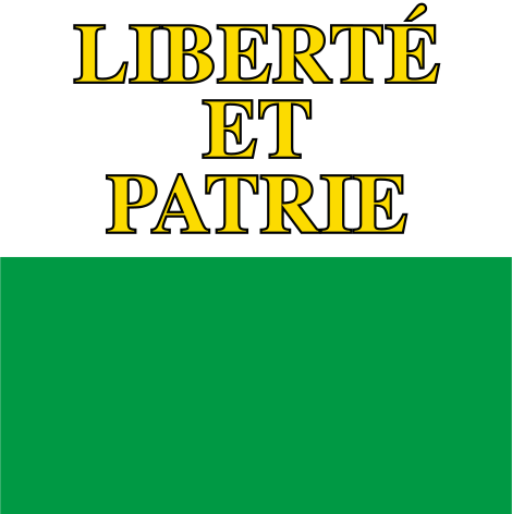 Vaud
 Ticino
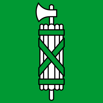 St Gallen
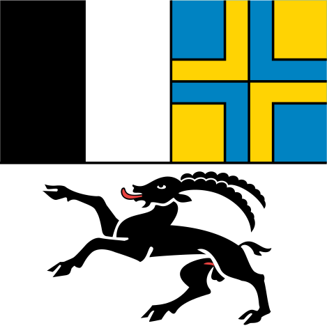 Graubünden
What did you discover?
Sources and image credits
This English article draws on the institutional sources listed below. Figures and memberships retain their stated reference dates.
Source record: 2 November 2026. A translation does not change the reference date of a figure or membership list.
- github.com/factbook/factbook.json/blob/144d6977b2b01ac1cbd220de754c0a005616760b/europe/sz.json
- data.worldbank.org/indicator/SP.POP.TOTL
- aboutswitzerland.eda.admin.ch/en/political-system
- github.com/mledoze/countries