Brazil Flag, Capital and Country Facts
Brazil is the largest country in South America and the only Portuguese-speaking country on the continent. The Amazon basin, Cerrado, Atlantic coast and the wetland Pantanal show very different landscapes. The capital Brasília is located inland: its planning should shift state functions more inland and distinguish them from older coastal metropolises such as Rio de Janeiro.
Test your knowledge →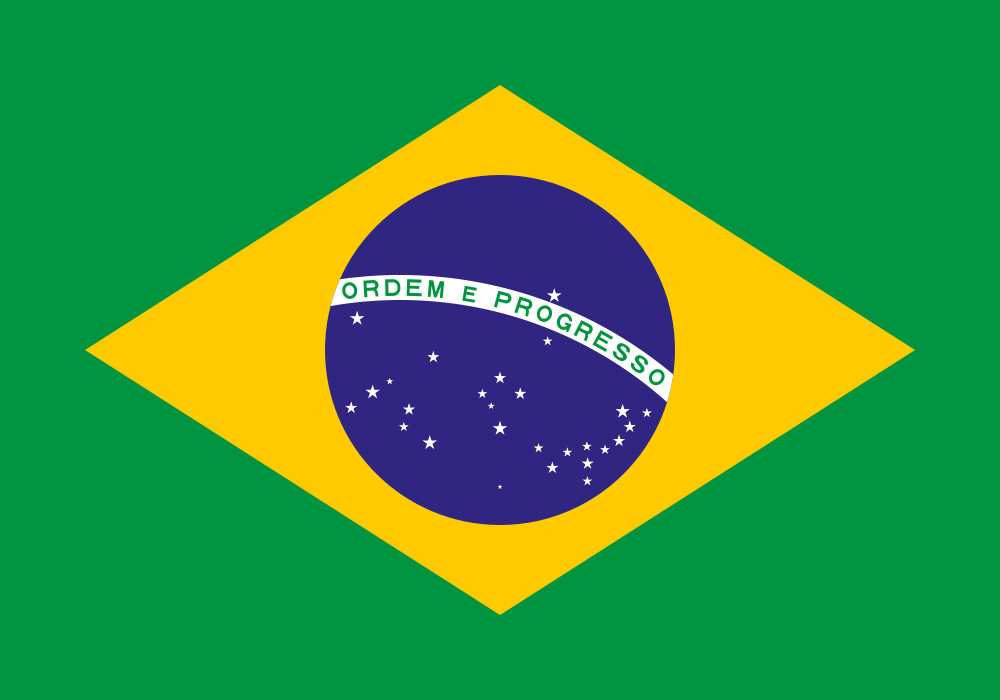
Brazil at a glance
- Capital
- Brasília
- Quiz continent
- South America
- Languages in reference record
- Portuguese; numerous indigenous languages
- Currency
- Brazilian Real (BRL)
- Population
- 212,812,405 (2025, World Bank)
- Area
- 8,515,767 km²
- Coastal setting
- Not landlocked
- ISO codes
- BR / BRA
- Internet country suffix
- .br
- Independence
- 7 September 1822
- Republic since
- 1889
- Capital change
- 1960 to Brasília
- Member States
- 26 and a Federal District
- Large wetland
- Pantanal
- Highest mountain
- Pico da Neblina, about 2,994 m
Brazil Flag: Design, Meaning and History
There is a yellow rhombus on a green background. Inside is a blue celestial ball with white stars and a white ribbon bearing the lettering “Ordem e Progresso”. The stars are of different sizes and do not produce a simple regular pattern. It is precisely the combination of rhombus, celestial sphere and typeface that makes this flag easily recognizable.
The republican flag was created in 1889 on the basis of the former imperial flag. Its 27 stars stand for the 26 states and the federal district. The celestial representation refers to the day of the proclamation of the Republic. The often mentioned interpretations green for forests and yellow for mineral resources are common; the colors also have an older dynastic history.
Capital: Brasília
Brasília was inaugurated as the new capital in 1960 and replaced Rio de Janeiro. The city is located on the central highlands in its own federal district. Its creation was a state planning project, not a mere renaming of an existing city. São Paulo remains another, economically particularly important metropolis.
Designed by Lúcio Costa, the city floor plan and important buildings of Oscar Niemeyer stand for the modern architecture of the 20th century. UNESCO added Brasília to the World Heritage List in 1987. Large traffic axes and functionally structured urban areas clearly distinguish the planning model from the grown old cities of many other capitals.
Practise this capital →Brazil: Geography, History and Culture
The Amazon basin occupies large parts of the north, but is not the same as the entire country. In the center are savannah landscapes of the Cerrado, in the west parts of the Pantanal and in the northeast dry areas. Brazil borders all South American states except Chile and Ecuador. This neighbourhood explains its central role in the continental transport network.
The Portuguese colonial history distinguishes Brazil linguistically from the predominantly Spanish-speaking neighbouring states. At the same time, culture and society emerged from indigenous traditions, forced African migration and later immigration. Independence from Portugal was declared in 1822; the republic did not follow until 1889. Monarchy and republic are therefore two different phases of their own statehood.
The Amazon transports water from a catchment area far beyond Brazil into the Atlantic Ocean. Agriculture, mining, energy production and the protection of forests and indigenous territories therefore often touch the same rooms. The Pantanal is also a cross-border system. When it comes to environmental issues, the national borders help to orientate, but not only explain the natural connections.
Planned capital
Brasília has been on the UNESCO World Heritage List since 1987. Its modern planning makes the political decision for a capital inland spatially visible.
Huge wetland
A large part of the Pantanal is located in midwestern Brazil. Its seasonal flooding creates different habitats than the ever-wet rainforest.
Common Waterfalls
The Iguaçu Falls are on the border with Argentina. A single natural monument can be viewed here from two states.
Explore neighbouring and related places
 Argentina
 Bolivia
 Colombia
 Guyana
 Paraguay
 Peru
Cities and regions in this country
 São Paulo
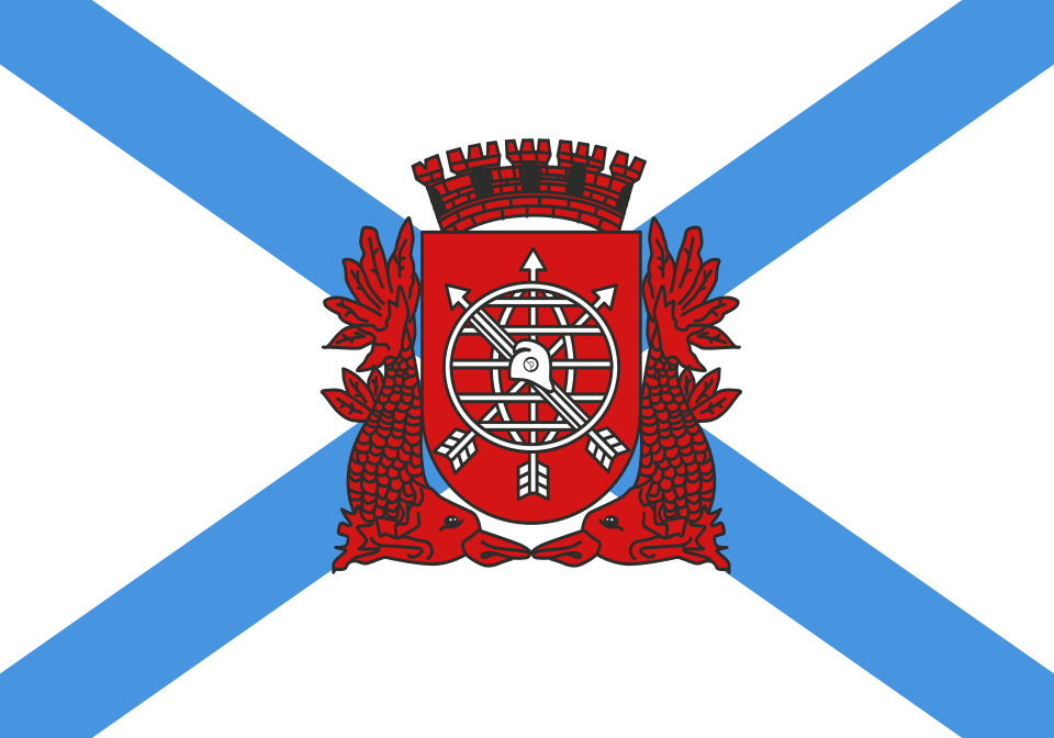 Rio de Janeiro
What did you discover?
Sources and image credits
This English article draws on the institutional sources listed below. Figures and memberships retain their stated reference dates.
Source record: 2 November 2026. A translation does not change the reference date of a figure or membership list.
- github.com/factbook/factbook.json/blob/144d6977b2b01ac1cbd220de754c0a005616760b/south-america/br.json
- data.worldbank.org/indicator/SP.POP.TOTL
- whc.unesco.org/en/list/445
- github.com/mledoze/countries