Colombia Flag, Capital and Country Facts
Colombia is located on two seas and at the same time includes Andes, Caribbean lowlands and parts of Amazonia. Bogotá is located high in the mountains, while ports and coastal towns have a different climate. The yellow-blue-red flag is reminiscent of common historical roots with Ecuador and Venezuela, but has its own easily recognizable division.
Test your knowledge →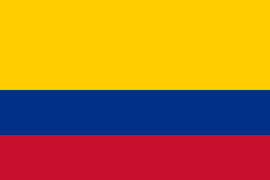
Colombia at a glance
- Capital
- Bogotá
- Quiz continent
- South America
- Languages in reference record
- Spanish; Indigenous Languages Regionally Official
- Currency
- Colombian peso (COP)
- Population
- 53,425,635 (2025, World Bank)
- Area
- 1,141,748 km²
- Coastal setting
- Not landlocked
- ISO codes
- CO / COL
- Internet country suffix
- .co
- Marine spaces
- Pacific and Caribbean Sea
- Mountains
- Andes
- National holiday
- 20 July
- Historical State Association
- Greater Colombia
- World Heritage Port
- Cartagena, since 1984
- Coffee culture landscape
- UNESCO entry 2011
Colombia Flag: Design, Meaning and History
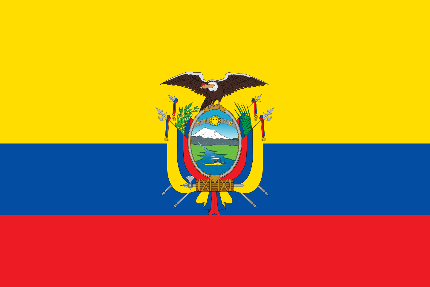
At the top, a yellow stripe occupies half of the flag height. Below are a blue and a red stripe of one quarter each. The flag does not show a coat of arms. It is precisely the double-high yellow area that distinguishes it from Venezuela’s equally wide stripes; the missing coat of arms delimits it from Ecuador.
The color combination goes back to the common history of independence in northern South America. For the colors there are several traditional interpretations, such as gold and mineral resources for yellow, sea for blue and the blood shed in the struggle for freedom for red. None of these should be confused with the visible, clearly defined arrangement.
Capital: Bogotá
Bogotá is located on a highland of the eastern Andean chain. The location close to the equator therefore does not lead to a tropical hot capital climate: the high altitude is crucial. This is a useful context for understanding Colombia’s strong climate contrasts even without accurate temperature values.
The city name derives from Bacatá, a name from the pre-colonial history of the region. Bogotá became a political centre in the Spanish colonial period. Its internal location distinguishes it from Cartagena on the Caribbean Sea, whose port and fortifications played a very different role in the history of Colombia.
Practise this capital →Colombia: Geography, History and Culture
Colombia has coasts on the Pacific and the Caribbean Sea. In the west, the Andes branch, east of which stretch plains and parts of the Amazon region. Sea level, slope and altitude change the conditions in a confined space. Therefore, one cannot conclude from the situation in the tropics either a uniform climate or a vegetation that is similar everywhere.
Spanish is the central public language; indigenous languages also have official significance in their respective territories. The population history connects indigenous communities, Spanish colonization, African diaspora and later migrations. Regional differences are important: the Caribbean coast, Andean cities and the Amazon region have different historical connections and cannot be described by a single cultural short formula.
In the early 19th century, Colombia belonged to Greater Colombia, a state association from which Ecuador and Venezuela also emerged. The similar flags are a clear reminder for this. Coffee cultivation later became a dominant industry in the Andean regions. UNESCO expressly pays tribute to the Colombian coffee culture landscape and thus the interaction between agriculture, settlements and mountain areas.
Coffee culture landscape
The coffee culture landscape of Colombia has been on the UNESCO list since 2011. The term covers more than one plantation. It makes it clear that cultivation, villages and landscape together form a historical cultural landscape.
Cartagena
The port, fortifications and monuments of Cartagena have been a World Heritage Site since 1984. The city stands for Colombia’s Caribbean side. Its maritime reference is a clear contrast to the high-altitude inland capital Bogotá.
Archaeological diversity
San Agustín and Tierradentro are listed as archaeological World Heritage sites. They are reminiscent of pre-colonial cultures beyond the later Spanish centers. Colombia’s history thus begins neither with the colonial cities nor with the modern nation-state.
Explore neighbouring and related places
 Brazil
 Ecuador
 Panama
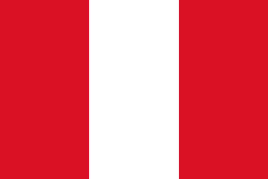 Peru
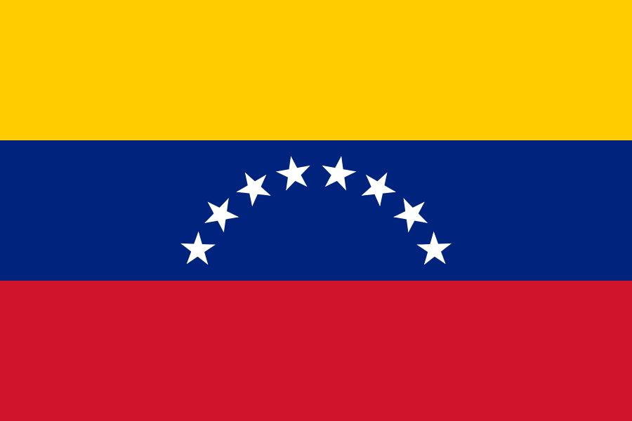 Venezuela
What did you discover?
Sources and image credits
This English article draws on the institutional sources listed below. Figures and memberships retain their stated reference dates.
Source record: 2 November 2026. A translation does not change the reference date of a figure or membership list.
- github.com/factbook/factbook.json/blob/144d6977b2b01ac1cbd220de754c0a005616760b/south-america/co.json
- data.worldbank.org/indicator/SP.POP.TOTL
- whc.unesco.org/en/statesparties/co
- github.com/mledoze/countries