Paraguay Flag, Capital and Country Facts
Paraguay lies in the interior of South America between Brazil, Argentina and Bolivia. The Río Paraguay divides the country into two very different large areas. On the flag are red, white and blue with an emblem in the middle. One peculiarity is easy to overlook: front and back bear different signs.
Test your knowledge →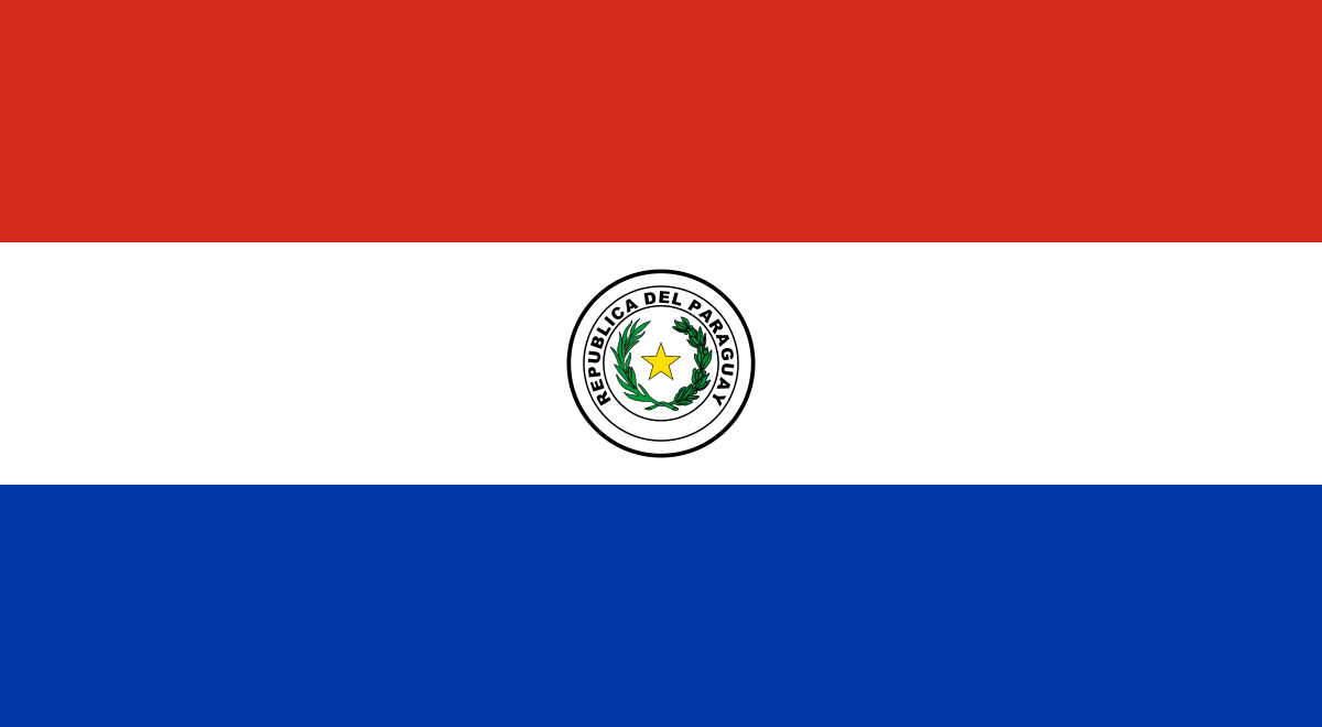
Paraguay at a glance
- Capital
- Asunción
- Quiz continent
- South America
- Languages in reference record
- Spanish and Guaraní
- Currency
- Guaraní (PYG)
- Population
- 7,013,078 (2025, World Bank)
- Area
- 406,752 km²
- Coastal setting
- Landlocked
- ISO codes
- PY / PRY
- Internet country suffix
- .py
- Partial river
- River Paraguay
- Greater Western Region
- Chaco
- Highest point
- Cerro Tres Kandú, about 842 m
- Independence date
- 14–15 May 1811
- World Heritage Site since
- 1993: Jesuit missions Trinidad and Jesús
- Flag specification
- Different front and back
Paraguay Flag: Design, Meaning and History
Three equally wide cross strips point from top to bottom red, white and blue. On the front, which is usually shown here, lies in the white center the coat of arms with a yellow star, a green wreath and the transcription República del Paraguay. The middle sign distinguishes the flag from the similarly striped Dutch flag.
The reverse bears the seal of the Treasury with lion, liberty hat and the motto Paz y Justicia. So it is not an accidentally mirrored state coat of arms, but a different motive. The factbook archive of 2025 combines colors with bravery, peace and freedom. The two different sides remain the most unusual concrete feature.
Capital: Asunción
Asunción is located on the Río Paraguay in the west of the more densely populated eastern part of the country. The capital is a political, economic and historical centre. The river location is particularly important for a landlocked country: waterways connect it with neighboring countries and finally with the Atlantic Ocean, even if its own territory does not have a stretch of coast on the sea.
The city became an important starting point for Spanish expansion in the southern inland area in the 16th century. However, its significance today goes beyond this historical role. A comparison with the Jesuit missions in the southeast shows two different colonial types of space: an urban administrative and commercial center on the one hand and organized mission settlements with their own social structures on the other.
Practise this capital →Paraguay: Geography, History and Culture
West of the Río Paraguay lies the Chaco with wide, sparsely populated plains. East of the river are more populated and agricultural areas. This division explains the unequal distribution of population better than the mere size of the national territory. Large rivers are thus not only traffic routes, but also orientation lines between different landscape and economic areas.
Spanish and Guaraní are official languages. Guaraní is not only a historical memory, but an important living language with broad social use. This makes Paraguay linguistically particularly interesting within South America. The same name is also used for the national currency; language name and currency name are therefore related in the country profile, but fulfill completely different functions.
The Jesuit missions La Santísima Trinidad de Paraná and Jesús de Tavarangue have been a UNESCO World Heritage site since 1993. Your location is not in the capital. The UNESCO proposal list also includes landscapes of the Chaco and themes such as Yerba Mate. This diversity shows that the historical and natural geography of Paraguay extends beyond the frequently highlighted large hydropower plants.
Two flag pictures
The front and back have different emblems. The star of the coat of arms and the lion of the Treasury seal may therefore not be described as the same representation.
Living Guaraní
Guaraní is next to Spanish official language. The name is also encountered as a designation of the Paraguayan currency.
Missions as World Heritage sites
Trinidad and Jesús de Tavarangue are on the UNESCO list together. They form a historical focus in the southeast of the country.
Explore neighbouring and related places
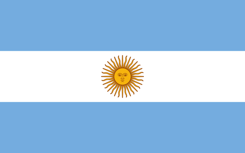 Argentina
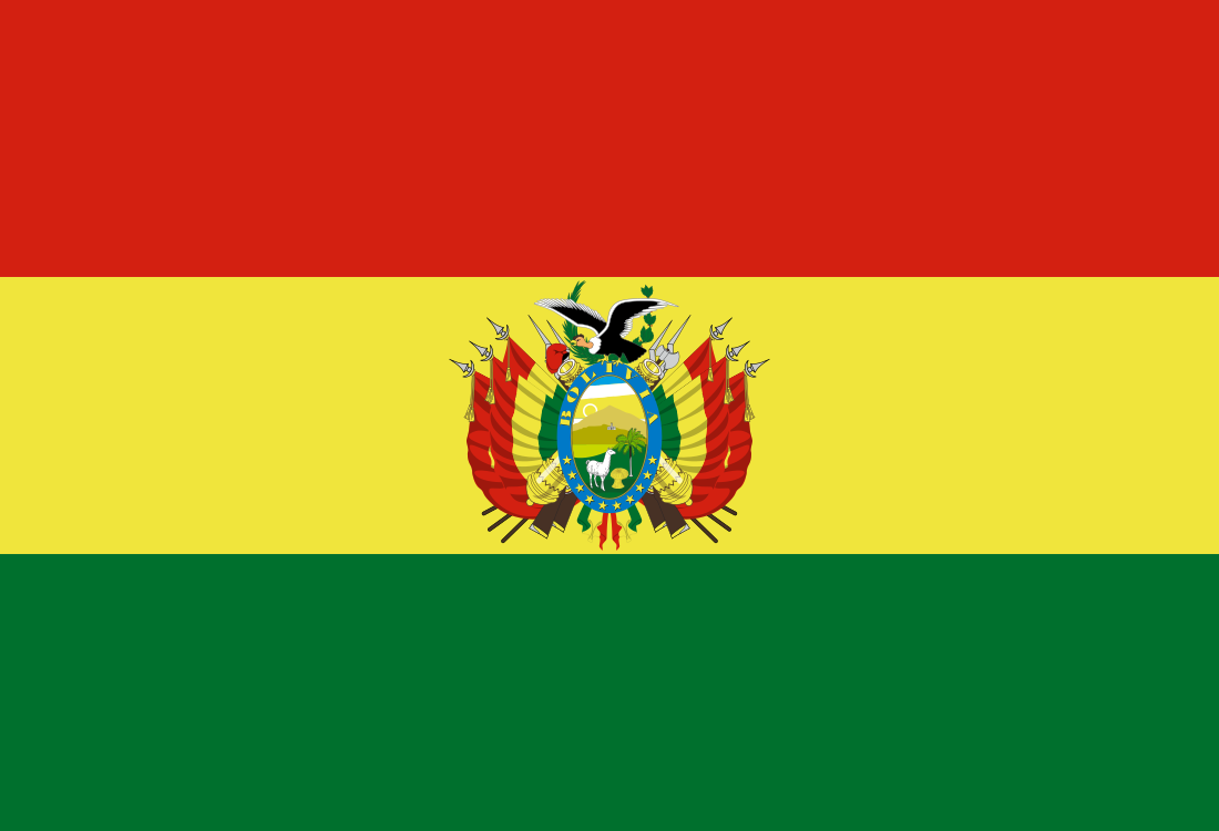 Bolivia
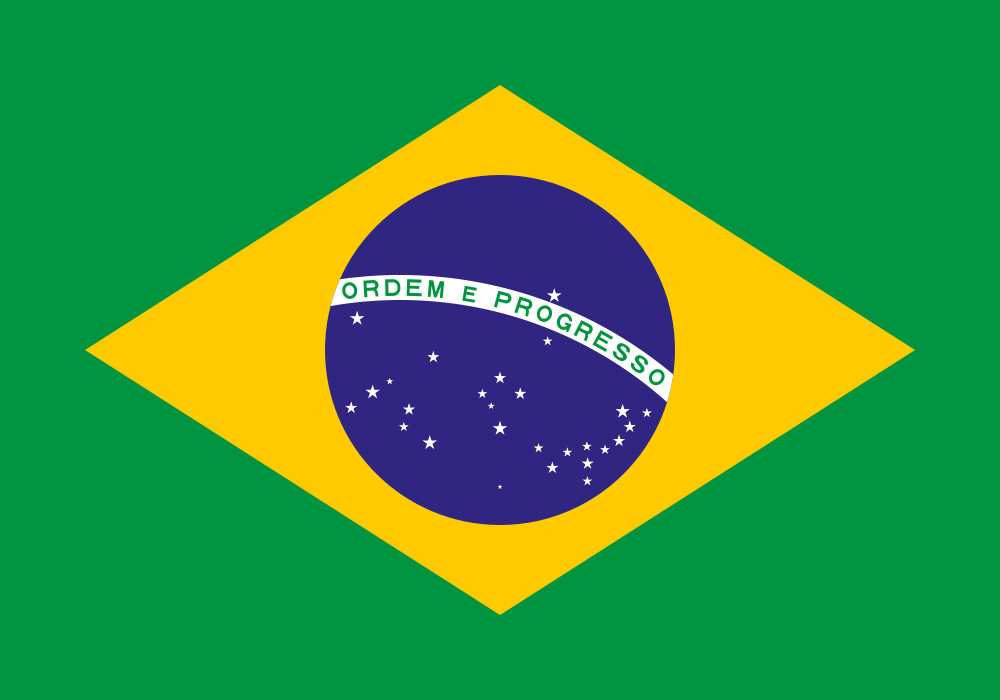 Brazil
What did you discover?
Sources and image credits
This English article draws on the institutional sources listed below. Figures and memberships retain their stated reference dates.
Source record: 2 November 2026. A translation does not change the reference date of a figure or membership list.
- github.com/factbook/factbook.json/blob/144d6977b2b01ac1cbd220de754c0a005616760b/south-america/pa.json
- data.worldbank.org/indicator/SP.POP.TOTL
- whc.unesco.org/en/statesparties/py
- github.com/mledoze/countries