Saxony: State Flag, Capital and Regional Profile
Saxony extends from the plains around Leipzig to the heights of the Erzgebirge and the sandstone rocks on the Elbe. Dresden is the state capital, but the country has several independent cultural and economic areas. Its simple white-green flag summarizes this diversity in an easily recognizable pair of colors that manage without a coat of arms on.
Test your knowledge →
Saxony at a glance
- Name
- Saxony
- Country
- Germany
- Profile type
- German federal state
- Administrative seat in source record
- Dresden
- Largest river
- Elbe
- Other catchment areas
- Elbe and Oder
- Western landscape
- Voisland
- Eastern landscape
- Upper Lusa
- Central Southern Mountains
- Ore mountains
- Northern lowlands
- Lowland Bay of Leipzig
- Cross-border World Heritage
- Montanregion Erzgebirge/Krušnohoří
- Historical mining metals
- Among others silver and tin
The Flag of Saxony
You can see two horizontal stripes of equal height: white above and green below. The country flag used here contains neither writing nor coat of arms. For the recognition, therefore, especially the order of the colors counts; the green forms the lower half of the rectangular cloth.
In addition to the simple country flag, there are representations with Saxon coat of arms. These should not be confused with the displayed selection. In the quiz, the two-color form is recognized. A natural history interpretation of the green as a forest would be memorable, but does not replace a proven explanation of the historical colors of the country.
Saxony: Location and Territorial Role
Saxony is located in eastern Germany and borders Poland and the Czech Republic. Dresden is located on the Elbe; Leipzig is further northwest in a lowland landscape. Chemnitz, the Erzgebirge, the Vogtland and the Oberlausitz complement the spatial picture and prevent the country from being reduced to its capital.
The Elbe crosses Saxony from southeast to northwest and is its most important river. The water network is mainly part of their catchment area. A smaller part of the country, on the other hand, drains to the Oder. A political map and a water map therefore divide Saxony according to different principles.
Landscape, History and Culture
Overall, Saxony’s relief falls north and northwest. In the south, Ore Mountains and other middle mountains form a striking threshold; north, Loeshügelland and lowland join. This gradation helps to understand the distribution of rivers, arable land and historical settlement spaces in the country.
Mining gave the Ore Mountains a special shape for centuries. He left behind shafts, cities, processing plants and water management systems. The cross-border mining region Erzgebirge/Krušnohoří shows that raw material deposits and technical knowledge are not oriented towards today's national borders. Silver and tin are among the defining metals of this long history.
The country offers different forms of cultural landscape. In Oberlausitz, in addition to settlements, ponds and other waters also shape the picture. Historical narrow gauge railways in turn open up several excursion regions. Such means of transport are not only nostalgic motives, but refer to earlier solutions for transport in densely populated or mountainous areas.
Montanregion Erzgebirr
The UNESCO sites comprise components on the German and Czech sides. Eight centuries of mining changed the terrain, economy and urban development here. The World Heritage idea therefore protects a coherent historical system and not only individual tunnels or representative houses of former mountain towns.
Elbe as an orientation
Dresden’s location on the Elbe places the capital in a larger river context. The Elbe connects mountain rim, sandstone landscapes and northern plains. Mulde, Schwarze Elster and Spree also belong to the Elbe catchment area, although their courses appear separately on the map.
Between Vogtland and Oberlausitz
The Vogtland in the west and the Oberlausitz in the east mark different landscape areas. In between are large cities and smaller historical places. Anyone who gets to know Saxony can therefore compare several regions in a meaningful way instead of transferring a single landscape to the entire Free State.
Explore this country and nearby profiles
 Germany
 Munich
 Cologne
 Frankfurt am Main
 Stuttgart
 Düsseldorf
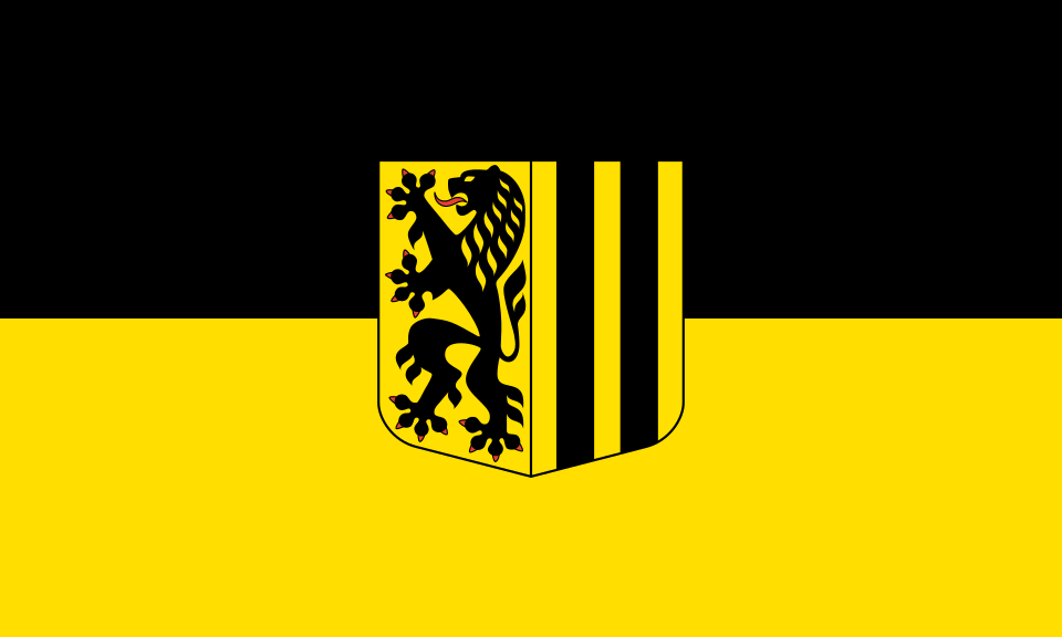 Dresden
What did you discover?
Take this flag into the quiz
Sources and image credits
This English article draws on the institutional sources listed below. Figures and memberships retain their stated reference dates.
Source record: 2 November 2026. A translation does not change the reference date of a figure or membership list.
- wasser.sachsen.de/sachsens-gewaesservielfalt-17916.html
- freistaat.sachsen.de/urlaub-in-sachsen-5354.html
- whc.unesco.org/en/list/1478/
- publikationen.sachsen.de/bdb/artikel/15180/documents/35720