Bavaria: State Flag, Capital and Regional Profile
Bavaria connects very different landscapes and historical spaces in the southeast of Germany. The Alps, Danube Land, Franconia and Swabia belong to the same Free State. The flag shown here consists of a white and a blue cross path. It is one of the two equal Bavarian state flags and should therefore not be replaced by a diamond flag or described as incomplete.
Test your knowledge →
Bavaria at a glance
- Name
- Bavaria
- Country
- Germany
- Profile type
- German federal state
- Administrative seat in source record
- Munich
- Area ranking
- Largest German federal state by area
- Government districts
- Seven
- Administrative headquarters of Lower Bavaria
- Landshut
- Upper Palatinate administrative seat
- Regensburg
- Large electricity
- Danube
- Channel connection
- Altmühl near Kelheim as part of the Main-Danube Canal
- Eastern National Park
- Bavarian forest
- Alpine National Park
- Berchtesgaden
- Natural monument
- Weltenburger Enge
The Flag of Bavaria
The white track is at the top, the blue track is at the bottom. Both are equally wide; a coat of arms is not laid on. This patrol flag is the variant actually depicted. Anyone who immediately thinks of the also known diamond pattern in Bavaria should therefore take a close look: The simple white-blue division is also an official state sign.
In addition to the patrol flag, the Free State has a diamond flag. Both are legally equal alongside each other. The white and blue rhombuses have a long heraldic history, which leads through the counts of bows to the Wittelsbachers. The national colours white and blue are enshrined in the constitution; neither state flag bears an additional coat of arms.
Bavaria: Location and Territorial Role
Bavaria is located in southeastern Germany and is the largest German federal state in terms of area. The state capital Munich is the seat of the central state institutions. The title Free State denotes the republican form of state and does not mean independence from Germany. Bavaria remains a federal state within the federal order of the Federal Republic.
The administration is divided into seven administrative districts: Upper Bavaria, Lower Bavaria, Upper Palatinate, Upper Franconia, Middle Franconia, Lower Franconia and Swabia. This division illustrates the inner diversity. Munich is also the seat of the government of Upper Bavaria, while Landshut is responsible for Lower Bavaria and Regensburg for the Upper Palatinate. So a capital city does not bundle all regional administrative tasks.
Landscape, History and Culture
South of the Danube, the landscapes extend over hill countries and the Alpine forelands to the Alps. North of the river are among others the Frankish Alb as well as Oberpfälzer and Bayerischer Wald. Such natural areas do not always coincide with administrative boundaries. For orientation, it is therefore worthwhile comparing landscape map and political map.
The Danube connects Bavaria with the rest of southeastern Europe. From Ulm it flows through the Free State; near Kelheim, the section of Altmühl developed into the Main-Danube Canal reaches the electricity. From there to the Austrian border, it has great importance as a federal waterway. The river is both a transport route and an ecological habitat.
On the Danube originally existed extensive floodplain forests and moors. Parts of these habitats have been preserved and are now associated with the protection of rare plant and animal communities. The landscape can therefore not only be described as a technical shipping connection. Water management, flood prevention and nature conservation are equally part of the current use of the Danube region.
Weltenburger Enge
The Danube breakthrough near Weltenburg forms a striking landscape monument. The Weltenburger Enge belongs to the Bavarian Danube catchment area and makes the difference between a river course in the area and a schematic line on the map particularly clear. Rock shapes, water and the nearby cultural landscape are closely related here.
Bavarian forest
The Bavarian Forest National Park protects a landscape on the eastern edge of the country. It is one of the major protected areas in the Danube river basin. Even the comparison with the Alps shows how little a single mountain picture can explain the entire Bavaria: Different forest and high-altitude landscapes each have their own ecological and cultural connections.
Berchtesgaden
The Berchtesgaden National Park represents the Alpine south. Together with the Bavarian Forest, it offers two very different accesses to protected landscapes within the same federal state. The white-blue flag spans these regional differences as a common state sign, without even figuratively favoring a certain mountain landscape.
Explore this country and nearby profiles
 Germany
 Munich
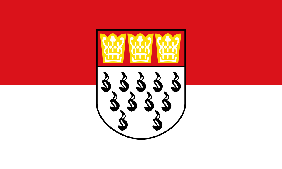 Cologne
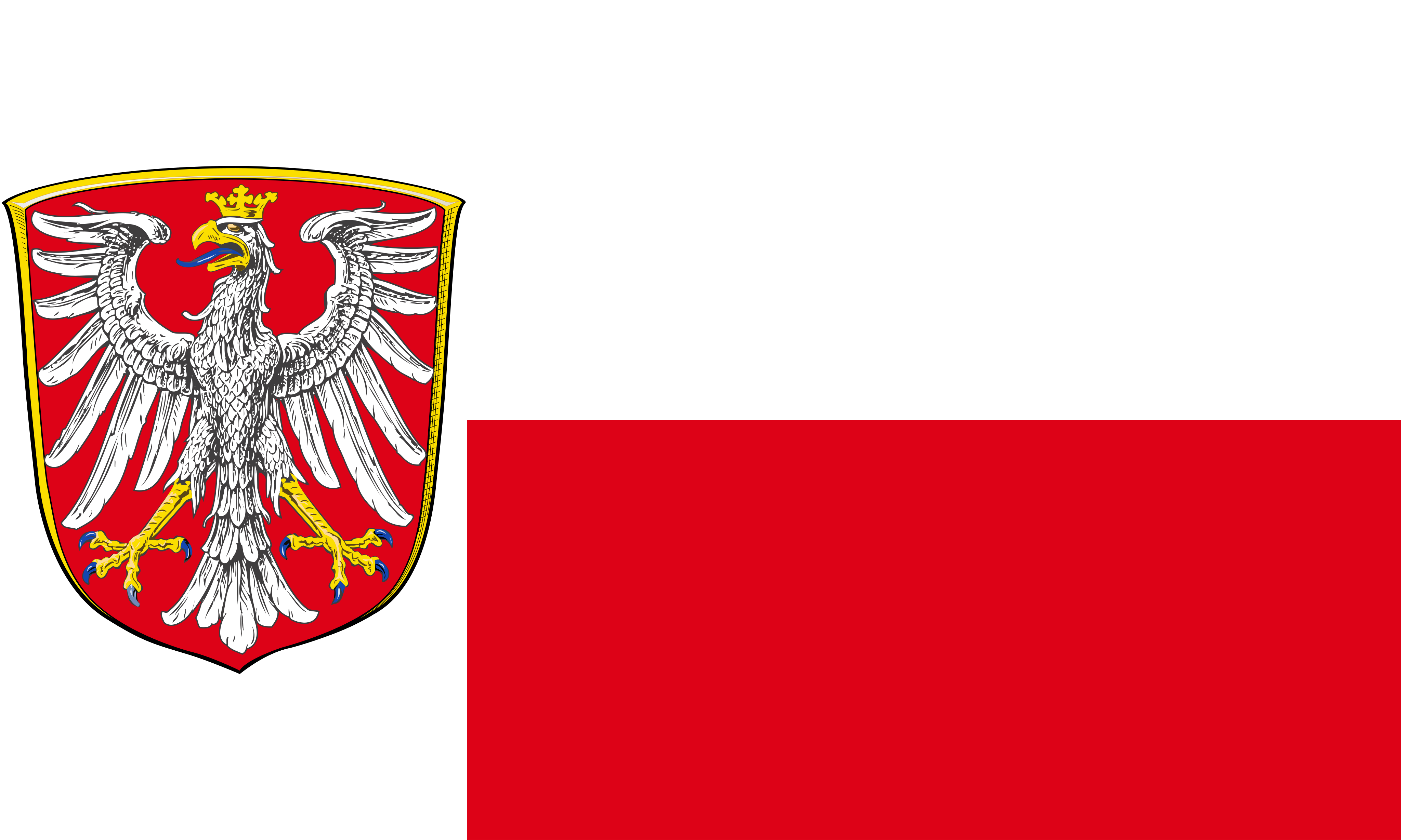 Frankfurt am Main
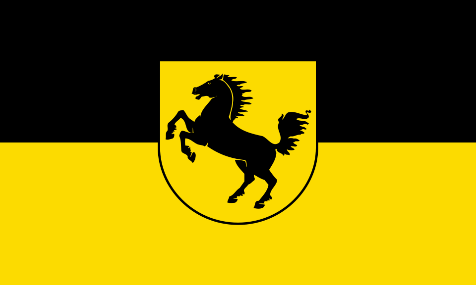 Stuttgart
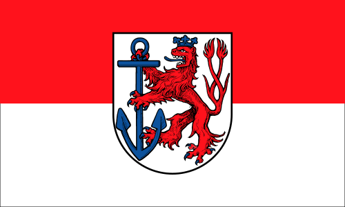 Düsseldorf
 Dresden
What did you discover?
Take this flag into the quiz
Sources and image credits
This English article draws on the institutional sources listed below. Figures and memberships retain their stated reference dates.
Source record: 2 November 2026. A translation does not change the reference date of a figure or membership list.
- bayern.de/der-freistaat/
- stmi.bayern.de/staat-und-verfassung/staatssymbole/
- lfu.bayern.de/wasser/hw_risikomanagement_umsetzung/hwrm_plan_donau/einzugsgebiet/index.htm
- stmuv.bayern.de/themen/wasserwirtschaft/fluesse_seen/bayerische_donau.htm