Tanzania Flag, Capital and Country Facts
Tanzania connects East African highlands and savannas with the Indian Ocean coast and the islands of Zanzibar. The state name originated from Tanganyika and Zanzibar. The flag also brings together colors of both predecessors. Dodoma is the capital, while Dar es Salaam remains particularly well known as a major port and economic metropolis.
Test your knowledge →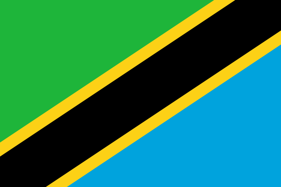
Tanzania at a glance
- Capital
- Dodoma
- Quiz continent
- Africa
- Languages in reference record
- Kiswahili and English; numerous other national languages
- Currency
- Tanzania-Schilling (TZS)
- Population
- 70,545,865 (2025, World Bank)
- Area
- 945,087 km²
- Coastal setting
- Not landlocked
- ISO codes
- TZ / TZA
- Internet country suffix
- .tz
- Highest mountain
- Kilimanjaro, 5.895 m
- Union Day
- 26 April 1964
- Independence of Tanganyika
- 9 December 1961
- Large port
- Dar es Salaam
- Greater Border Sea
- Lake Tanganyika
- Island centre
- Zanzibar city
Tanzania Flag: Design, Meaning and History
A black oblique strip rises from the bottom left to the top right. Narrow yellow hems separate it from the green triangle at the top left and the blue triangle at the bottom right. Stars, coats of arms and suns are missing. The black middle and its yellow border help to recognize; Namibia, on the other hand, has a red middle stripe and a sun.
The colors combine the former flags of Tanganyika and Zanzibar. Green stands for vegetation, yellow for mineral resources, black for the population and blue for water bodies as well as the Indian Ocean. The flag was created in 1964 in connection with the Union. Their arrangement is thus directly linked to the emergence of the present state.
Capital: Dodoma
Dodoma is located in the central interior. The decision to move the capital of Dar es Salaam was made in 1973; the implementation extended over many years. The internal situation should create a different spatial focus than the previously dominant coastal area. Dar es Salaam therefore remains an important metropolis despite the capital function of Dodoma.
Dar es Salaam is located on the Indian Ocean and is important for port, trade and international connections. The distinction between the two cities prevents a frequent quiz error. Also Zanzibar city is not an alternative all-Tanzanian capital seat, but center of the semi-autonomous island area. Political functions are divided into different levels.
Practise this capital →Tanzania: Geography, History and Culture
In the north, Kilimanjaro as the highest mountain in Africa rises to 5,895 meters. Great lakes border other parts of the country: Lake Victoria in the north, Lake Tanganyika in the west and Lake Malawi and Lake Njassa in the southwest. The coastal plain, the central plateau and the highlands form distinctly different climate and landscape areas. The three large lakes are shared with several neighboring states. Their shores are thus at the same time border areas and connecting lines; the protection of waters cannot be organized nationally alone.
Kiswahili is an important common language and connects people across numerous local language boundaries. English has other functions in education, business and administration. On the coast, historic cities show long connections across the Indian Ocean. Trade and cultural exchange linked East Africa with Arabia, Persia, India and other regions.
Tanganyika became independent in 1961; Zanzibar gained independence in 1963. The Union of 1964 led to the present state. The factbook archive stand from 2025 describes agriculture, raw materials management and tourism as important fields of activity. The famous protected areas are therefore a part of the country's history, while coastal trade, urban development and rural agriculture open up other equivalent perspectives.
Serengeti’
The Serengeti National Park is a UNESCO World Heritage Site. Its savannahs and animal migrations are part of a larger, cross-border ecosystem.
Stone Town
The old town of Zanzibar is a World Heritage Site. It preserves a cityscape shaped by trade links and different cultural influences of the Indian Ocean.
Kilwa and Songo Mnara
The ruins of both coastal towns are on the World Heritage List. They remind us that urban trade history plays a central role alongside the well-known nature parks.
Explore neighbouring and related places
 Burundi
 Democratic Republic of the Congo
 Kenya
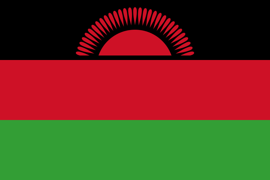 Malawi
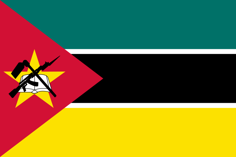 Mozambique
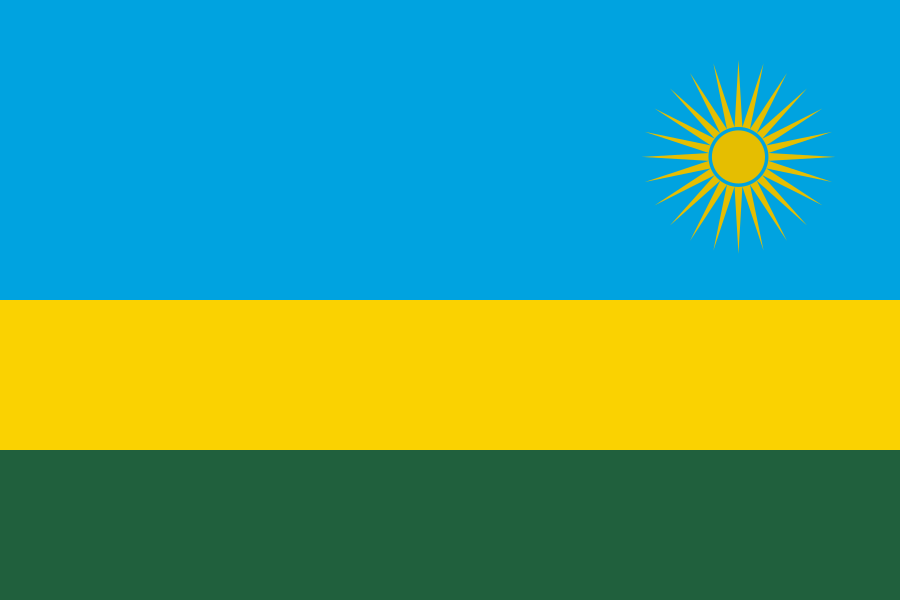 Rwanda
What did you discover?
Sources and image credits
This English article draws on the institutional sources listed below. Figures and memberships retain their stated reference dates.
Source record: 2 November 2026. A translation does not change the reference date of a figure or membership list.
- github.com/factbook/factbook.json/blob/144d6977b2b01ac1cbd220de754c0a005616760b/africa/tz.json
- data.worldbank.org/indicator/SP.POP.TOTL
- whc.unesco.org/en/statesparties/tz
- github.com/mledoze/countries