Burundi Flag, Capital and Country Facts
Burundi is located in the East African highlands on the northeastern shore of Lake Tanganyika. The small inland country has a pronounced hillside landscape and is located on an important African watershed. Its political capital Gitega is located inland, while the former capital Bujumbura on the lake continues to have a special economic importance.
Test your knowledge →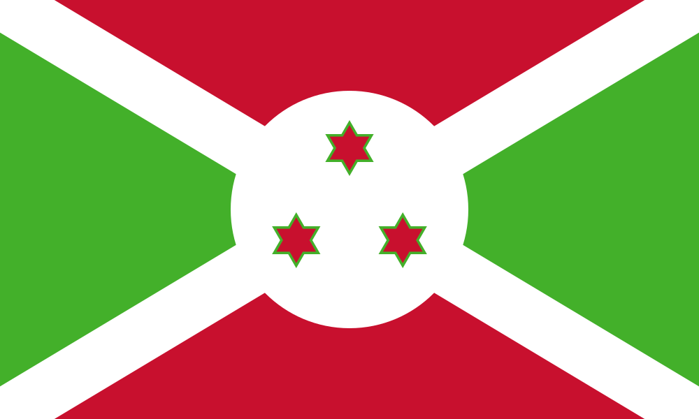
Burundi at a glance
- Capital
- Gitega
- Quiz continent
- Africa
- Languages in reference record
- Kirundi; also French and English
- Currency
- Burundi franc (BIF)
- Population
- 14,390,003 (2025, World Bank)
- Area
- 27,834 km²
- Coastal setting
- Landlocked
- ISO codes
- BI / BDI
- Internet country suffix
- .bi
- Great lake
- Lake Tanganyika
- Former capital
- Bujumbura
- Independence
- 1 July 1962
- Mountain forest protection area
- Kibira National Park
- Neighbours
- Rwanda, Tanzania and DR Congo
- Important Lowering
- Rusizi Valley
Burundi Flag: Design, Meaning and History
A white diagonal cross divides the flag into four triangles: red at the top and bottom, green at the left and on the right. On the cross lies a white disc with three red, green bordered stars. The stars each have six tips and stand in a triangular arrangement. It is precisely this combination that is crucial for safe recognition.
The factbook archive of 2025 assigns green to hope, white to peace and red to the victims of the struggle for independence. The three stars are associated with Hutu, Tutsi and Twa as well as the state motto of unity, work and progress. This meaning describes national symbolism and must not be understood as a complete description of a diverse society.
Capital: Gitega
Gitega has been the political capital of Burundi since 2019. The city is located in the central highlands and was already an important royal location before the colonial period. In the quiz, therefore, Gitega is the right capital answer. The former capital Bujumbura must not be taken unseen from older maps or older reference works.
Bujumbura, on the other hand, is located on Lake Tanganyika and remains an important economic and transport location. The change shows that the political capital, largest city and important port do not signify the same role. In Burundi, this distinction can be traced particularly well in the location: central highland location on the one hand, access to the big lake on the other.
Practise this capital →Burundi: Geography, History and Culture
The relief extends from the shores of Lake Tanganyika over steep slopes to higher areas in the west and center. In the country, watersheds run between the catchment area of the Congo and tributaries of the Nile. Water from neighboring landscapes can therefore eventually reach the sea in very different parts of Africa, although Burundi itself has no sea coast.
Kirundi is particularly important for understanding in the country. French and English have other public and international functions. The historical monarchy has left traces in places of remembrance and cultural landscapes. For example, the UNESCO country profile lists the sacred landscapes of Muramvya, Mpotsa and Nkiko-Mugamba, as well as the royal residence of Gishora.
The natural habitats are closely linked to the altitude and the water balance. Kibira protects mountain forest, while the Rusizi lowlands represent a different type of landscape. The UNESCO List of Proposals contains several such areas; this does not yet result in a World Heritage enrolment. This distinction prevents interesting natural sites from being mistakenly described as an already recognized UNESCO World Heritage site.
A large African lake
Lake Tanganyika connects Burundi geographically with several neighboring countries. Its shore zone is very different from the higher center.
Two famous cities
Gitega is the political capital, Bujumbura the former capital on the lake. Both names therefore remain important on maps and in historical texts.
Waterways in two directions
The location on the Nile-Congo watershed is a special geographical feature. Not every river in the country belongs to the same large catchment area.
Explore neighbouring and related places
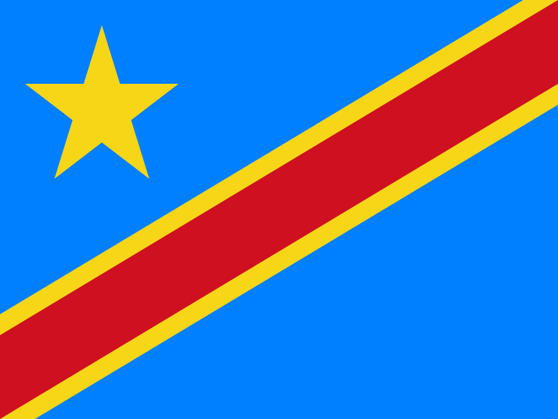 Democratic Republic of the Congo
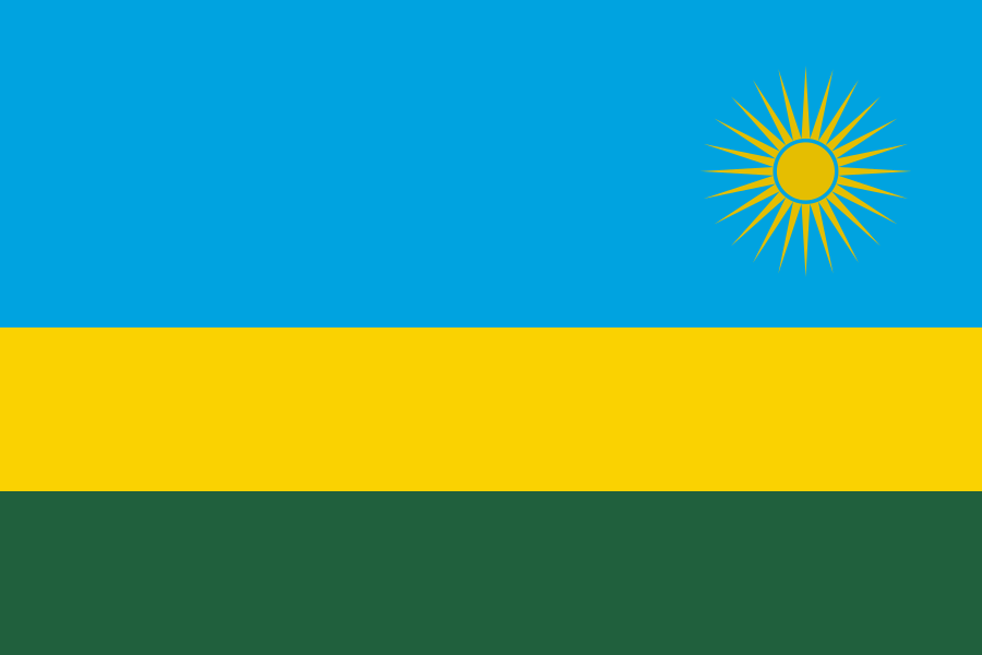 Rwanda
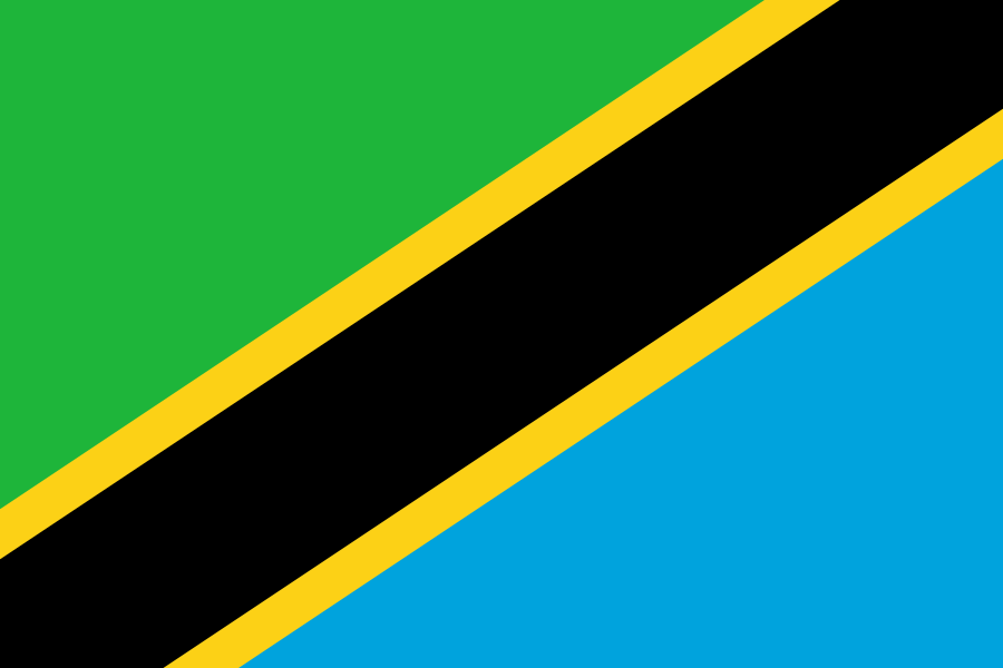 Tanzania
What did you discover?
Sources and image credits
This English article draws on the institutional sources listed below. Figures and memberships retain their stated reference dates.
Source record: 2 November 2026. A translation does not change the reference date of a figure or membership list.
- github.com/factbook/factbook.json/blob/144d6977b2b01ac1cbd220de754c0a005616760b/africa/by.json
- data.worldbank.org/indicator/SP.POP.TOTL
- whc.unesco.org/en/statesparties/bi
- github.com/mledoze/countries