Mozambique Flag, Capital and Country Facts
Mozambique stretches along the Indian Ocean in southeast Africa. Long coastal plains, large estuaries and higher landscapes in the west characterize the country. The capital Maputo is far to the south. The historic Ilha de Moçambique, on the other hand, is located in the north and gave its name to the state; so today's capital and eponymous island are different places.
Test your knowledge →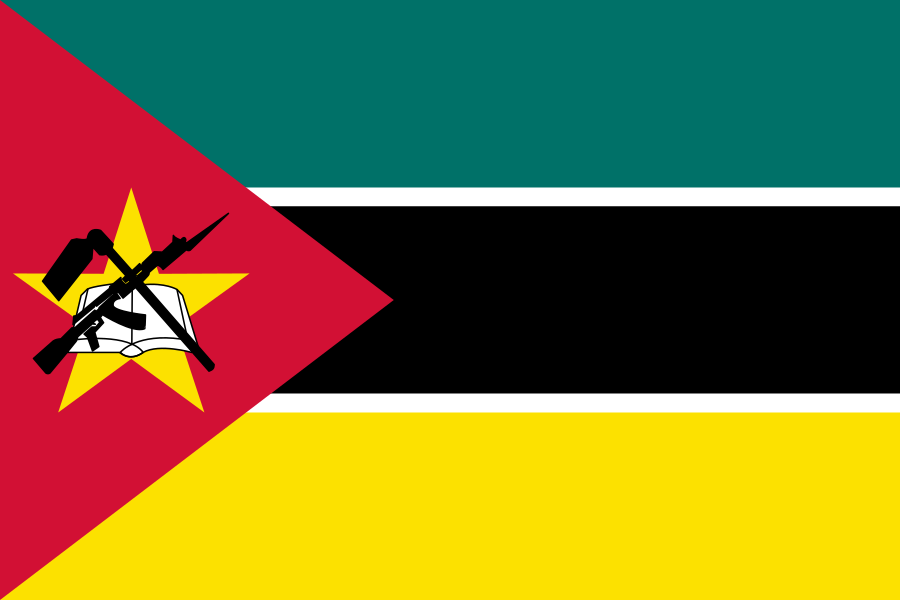
Mozambique at a glance
- Capital
- Maputo
- Quiz continent
- Africa
- Languages in reference record
- Portuguese as an official language; among others Makhuwa, Sena and Tsonga
- Currency
- Mozambican Metical (MZN)
- Population
- 35,631,653 (2025, World Bank)
- Area
- 801,590 km²
- Coastal setting
- Not landlocked
- ISO codes
- MZ / MOZ
- Internet country suffix
- .mz
- Independence
- 25 June 1975
- National holiday
- 25 June
- Highest mountain
- Monte Binga, 2,436 m
- Large river
- Zambezi
- Historical capital name
- Lourenço Marques
- World Heritage Island
- Ilha de Moçambique
Mozambique Flag: Design, Meaning and History
Three horizontal stripes in green, black and yellow are separated by narrow white lines. There is a red triangle on the mast. In it are a yellow star and an emblem of open book, crossed hoe and rifle. These items are actually present in the flag and should not be replaced with a general coat of arms word for an exact description.
The book is associated with education, the hoe with agriculture and the rifle with defense and the liberation struggle. Green stands in common interpretations for the land, yellow for mineral resources and black for Africa. The symbolism comes from the history of the independence movement. It makes the flag a particularly concrete testimony of political history rather than a mere combination of colors.
Capital: Maputo
Maputo is located on the bay of the same name near the southern border. The city was called Lourenço Marques during the Portuguese colonial period and received its current name in 1976. Port and transport links to the South African hinterland contributed significantly to their development.
The far southern location is a useful geographic help: Maputo is not in the middle of the long coastal state. The historic Ilha de Moçambique and other important places are far away. This explains why capital function, regional economic areas and historical priorities in Mozambique can be spatially distinct.
Practise this capital →Mozambique: Geography, History and Culture
The coastal lowlands rise in the west to highlands and mountains. Monte Binga reaches 2,436 meters. Zambezi and Limpopo flow into the Indian Ocean in the country, but bring water from several neighboring countries. Their importance can therefore only be understood with regard to cross-border catchment areas, not only from the Mozambican map.
Portuguese is the official language, while many African languages shape everyday life and regional cultural spaces. The coast was long before the Portuguese rule in trade networks of the Indian Ocean. Ilha de Moçambique preserves traces of this exchange and later colonial administration. UNESCO has been protecting the island since 1991 because of its important urban and architectural heritage.
Independence from Portugal was achieved in 1975. A long civil war subsequently shaped the infrastructure and living conditions. For natural geography, tropical cyclones, heavy rain and river flooding are important factors. Low coastal areas and large estuaries create fertile and transport-friendly areas, but can be particularly affected at extreme water levels. These connections explain more than a general statement about tropical climate.
Island with State Names
Ilha de Moçambique is located off the northern coast. Its world heritage connects traces of African, Arab, Indian and European contacts.
Education and agriculture as motives
Book and hoe belong to the flag emblem. They stand next to the rifle and complement the memory of the independence struggle for other state goals.
Rivers from several states
Zambezi and Limpopo connect Mozambique with a large hinterland. Processes outside the land borders can therefore influence the water levels in the estuary.
Explore neighbouring and related places
 Malawi
 South Africa
 Eswatini
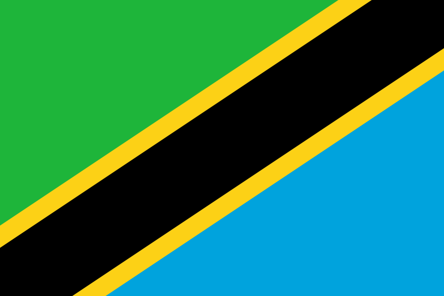 Tanzania
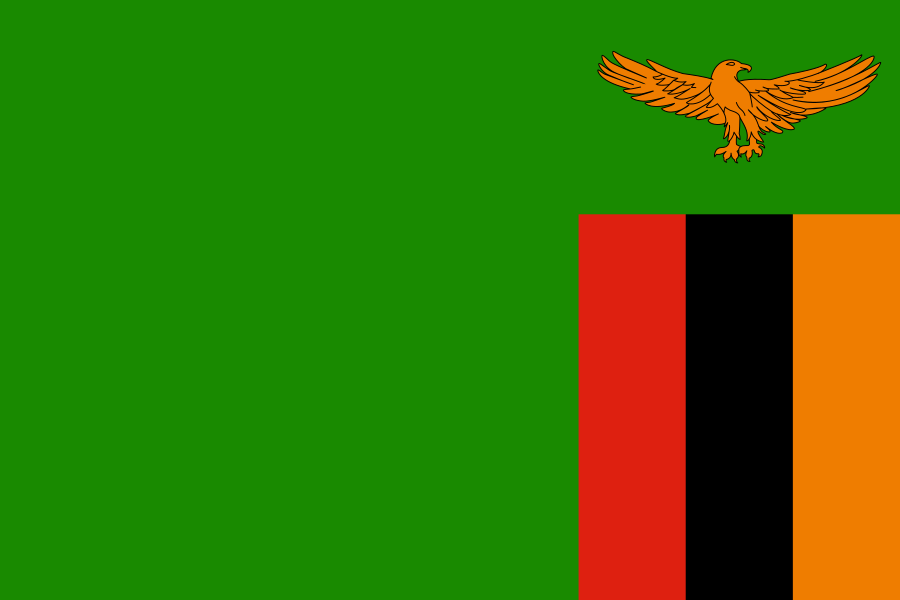 Zambia
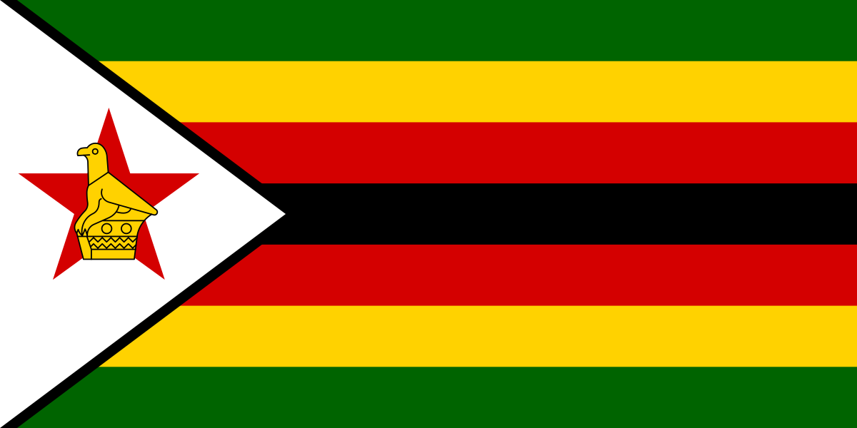 Zimbabwe
What did you discover?
Sources and image credits
This English article draws on the institutional sources listed below. Figures and memberships retain their stated reference dates.
Source record: 2 November 2026. A translation does not change the reference date of a figure or membership list.
- github.com/factbook/factbook.json/blob/144d6977b2b01ac1cbd220de754c0a005616760b/africa/mz.json
- data.worldbank.org/indicator/SP.POP.TOTL
- whc.unesco.org/en/list/599
- github.com/mledoze/countries