Seychelles Flag, Capital and Country Facts
The Seychelles is a widely scattered island nation in the western Indian Ocean. Victoria is located on Mahé, while Praslin and distant Aldabra are other important natural and settlement spaces. Granite islands and shallow coral islands belong to different geological groups; therefore, the state cannot be described as a uniform ring of tropical atolls.
Test your knowledge →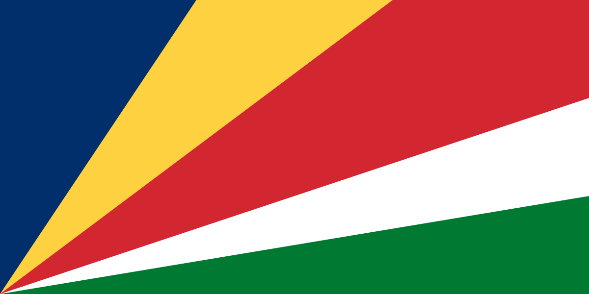
Seychelles at a glance
- Capital
- Victoria
- Quiz continent
- Africa
- Languages in reference record
- Seychellenkreol, English and French
- Currency
- Seychelles rupee (SCR)
- Population
- 122,730 (2025, World Bank)
- Area
- 452 km²
- Coastal setting
- Not landlocked
- ISO codes
- SC / SYC
- Internet country suffix
- .sc
- Capital Islands
- Mahé
- Highest mountain
- Morne Seychellois, 905 m
- Palm forest island
- praslin
- Famous Palm
- Coco de Mer
- Removed atoll
- Aldabra
- Independence
- 29 June 1976
Seychelles Flag: Design, Meaning and History
Five colored surfaces fan out from the lower left corner. The order includes blue, yellow, red, white and green. There are neither horizontal stripes of equal width nor a central coat of arms. The common starting point of the ribbons is the decisive feature of this unusually dynamic flag.
In the interpretation of the state, blue stands for sky and sea, yellow for the sun, red for joint action, white for justice and green for nature and land. The fanning shape is associated with forward movement. Symbolism and geometric structure support the same reminder here: All surfaces start at the bottom of the mast and open to the cloth.
Capital: Victoria
Victoria is located on Mahé, the largest and most important inhabited island. The capital thus has a clear island allocation, which should not be confused with Praslin or Aldabra. Mahé also carries the highest point of the country and forms a particularly useful starting point to connect the city, relief and island groups on the map.
The name Victoria comes from the British colonial period and refers to Queen Victoria. The official languages are reminiscent of various historical connections: English, French and Seychellenkreol have a coexistence of importance. The city is the political center of a national territory whose outer islands extend far beyond the immediate vicinity of the capital.
Practise this capital →Seychelles: Geography, History and Culture
The inner islands around Mahé and Praslin have striking granite rocks and mountainous interiors. Mahés Morne Seychellois reaches 905 meters. Other islands are low coral formations. It is precisely this geological difference that explains why some images show rocky heights and other flat atoll edges, although both belong to the Seychelles.
The Vallée de Mai on Praslin protects a special palm forest and is a UNESCO World Heritage site. The Coco de Mer with its striking fruits is closely connected to this group of islands. The name means marine coconut, but the plant grows on land; so a vivid name is not automatically an accurate description of its habitat.
The Aldabra Atoll is located far from the main settlement islands and is also a UNESCO natural heritage site. Its coral landscape forms a strong antithesis to Mahé’s granite relief. Nature conservation must therefore take into account very different island habitats. Independence from Britain occurred on June 29, 1976; however, today’s cultural and linguistic links are more varied than this one date.
Vallée de Mai
The palm forest is located on the granite island of Praslin. Its UNESCO status draws attention to an ecosystem and not just a single known fruit. The Coco de Mer is a concise mark within this larger natural context.
Aldabra as an atoll
The remote natural heritage belongs to the coral islands. The comparison with Mahé illustrates why an archipelago can include different geological origins and landscape types; the name Seychelles alone says nothing about the shape of a single island.
Three languages
Seychellenkreol, English and French complement each other in different areas of life. The Creole language has its own official rank and is not a mere flawed form of French; its recognition is part of the understanding of today's island society.
Explore neighbouring and related places
 Algeria
 Angola
 Benin
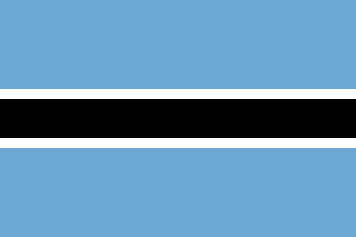 Botswana
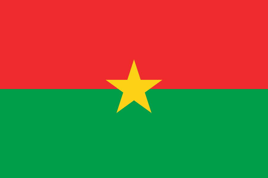 Burkina Faso
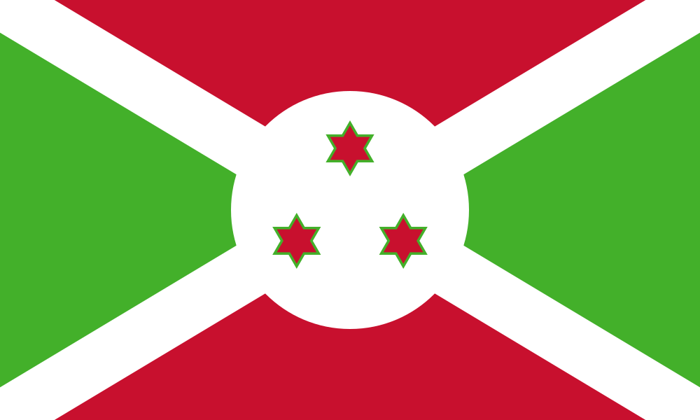 Burundi
What did you discover?
Sources and image credits
This English article draws on the institutional sources listed below. Figures and memberships retain their stated reference dates.
Source record: 2 November 2026. A translation does not change the reference date of a figure or membership list.
- github.com/factbook/factbook.json/blob/144d6977b2b01ac1cbd220de754c0a005616760b/africa/se.json
- data.worldbank.org/indicator/SP.POP.TOTL
- whc.unesco.org/en/list/261/
- github.com/mledoze/countries