Algeria Flag, Capital and Country Facts
Algeria connects a long Mediterranean coast with vast areas of the Sahara. It is Africa’s largest state by area, but population and large cities are heavily focused on the north. The flag shows green and white with red crescent and star. Their colors are easily recognizable, the landscape of the country is much more diverse.
Test your knowledge →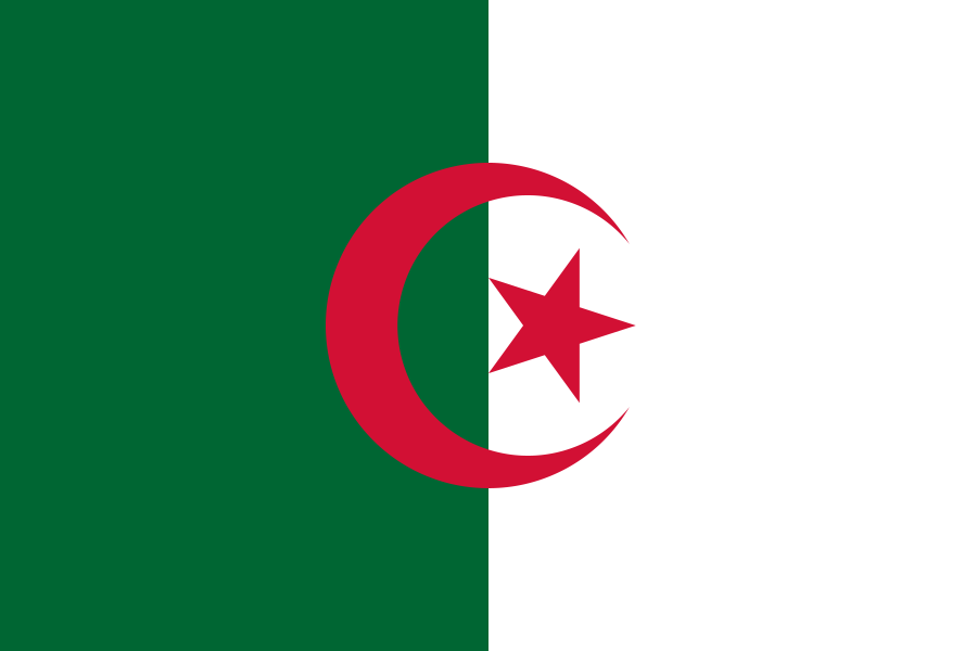
Algeria at a glance
- Capital
- Algiers
- Quiz continent
- Africa
- Languages in reference record
- Arabic and Tamazight; French is also common
- Currency
- Algerian Dinar (DZD)
- Population
- 47,435,312 (2025, World Bank)
- Area
- 2,381,741 km²
- Coastal setting
- Not landlocked
- ISO codes
- DZ / DZA
- Internet country suffix
- .dz, الجزائر.
- Highest mountain
- Tahat, about 2,908 m
- Greater desert
- Sahara
- Mountainous region
- Ahaggar
- Independence
- 5 July 1962
- Historical district
- Kasbah of Algiers
- Oase landscape
- M’Zab Valley
Algeria Flag: Design, Meaning and History
The flag is vertically divided into a green left half and a white right half. In the middle are a red crescent moon and a red five-pointed star. Both characters overlap the boundary between the color fields. The green area is located on the pole; swapping the sides would change the motif shown.
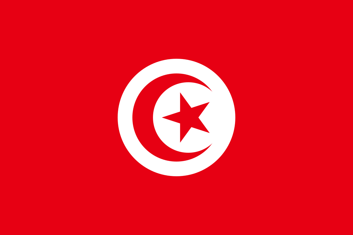
The crescent and star are associated with Islam. The factbook archive of 2025 cites green as a religious symbol, white as a sign of peace and purity, and red as a color of freedom. For the quiz, the comparison with Tunisia is useful: There are crescent and star in a white disk on a red background, while Algeria has two vertical bases.
Capital: Algiers
Algiers is located on a bay of the Mediterranean in the north of the country. The capital connects an important coastal location with political and economic functions. Their location shows that the large area of Algeria is not accompanied by an even distribution of urban centers. There are considerable distances and clear climatic differences between the coastal regions and the southern Sahara.
The Kasbah of Algiers has been a UNESCO World Heritage site since 1992. The historical urban fabric makes the long urban history of the coast visible. It differs from the Roman sites of Timgad and Djémila inland. These different locations show how many historical layers can stand behind a single state name today.
Practise this capital →Algeria: Geography, History and Culture
In the north, the tell region, mountains and higher plains characterize the landscape. South of the Sahara Atlas begins the great desert space. This is by no means only made of sand: rock plateaus, mountains, gravel areas and oases are also part of it. Ahaggar and Tassili n’Ajjer are particularly striking southern landscapes, the relief of which corrects the simplified idea of a completely flat Sahara.
Arabic and Tamazight are among the official languages. The proliferation of different Berber language forms points to a deep-rooted linguistic diversity; French continues to be present through colonial history. Algeria became independent from France in 1962 after a long war of independence. The political symbols of the country are therefore also linked to this recent history.
Tassili n’Ajjer is both a cultural and natural world heritage site. Rock paintings document humans and animals from times when the Sahara had different environmental conditions. On the other hand, the M’Zab Valley shows a special settlement landscape in a dry area. Both examples make it clear that the desert is also a historical living and design space and not just an empty intermediate surface.
Africa's largest state
Algeria's enormous area extends far into the Sahara. Nevertheless, the capital is located on the northern coast and not close to the geometric centre of the country.
Roman town complexes
Timgad and Djémila are UNESCO World Heritage sites. They complement the history of today’s country with important testimonies of the Roman epoch.
Rock paintings of the Sahara
Tassili n’Ajjer combines natural and cultural heritage. The representations of earlier wildlife help to understand long-term environmental changes in North Africa.
Explore neighbouring and related places
 Tunisia
 Libya
 Niger
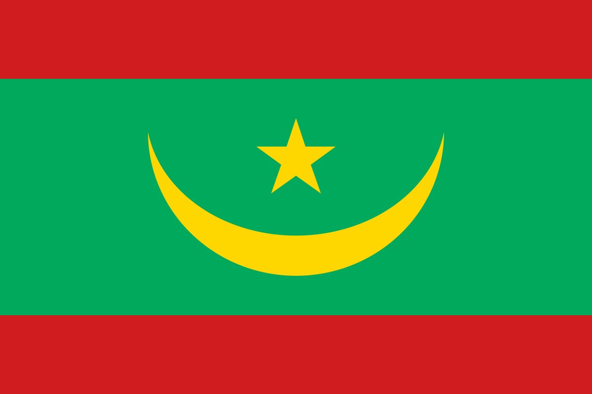 Mauritania
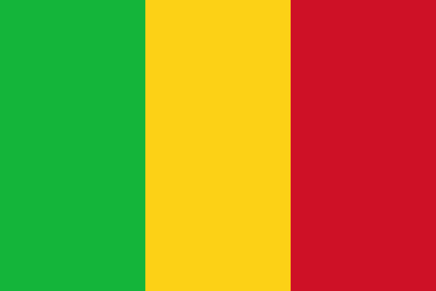 Mali
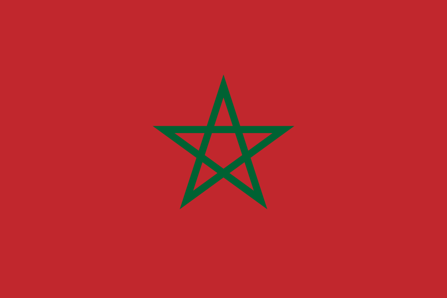 Morocco
What did you discover?
Sources and image credits
This English article draws on the institutional sources listed below. Figures and memberships retain their stated reference dates.
Source record: 2 November 2026. A translation does not change the reference date of a figure or membership list.
- github.com/factbook/factbook.json/blob/144d6977b2b01ac1cbd220de754c0a005616760b/africa/ag.json
- data.worldbank.org/indicator/SP.POP.TOTL
- whc.unesco.org/en/statesparties/dz
- github.com/mledoze/countries