Angola Flag, Capital and Country Facts
Angola connects a long Atlantic coastline with an extensive highland in southern Africa. Its capital Luanda looks to the sea, while many landscapes of the inland are much higher. Portuguese and several African languages, the history of the Kingdom of Congo and the consequences of colonial rule are equally part of the understanding of the country.
Test your knowledge →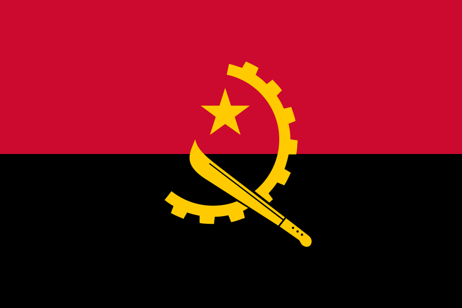
Angola at a glance
- Capital
- Luanda
- Quiz continent
- Africa
- Languages in reference record
- Portuguese (official language); among others Umbundu, Kimbundu, Kikongo and Chokwe
- Currency
- Kwanza (AOA)
- Population
- 39,040,039 (2025, World Bank)
- Area
- 1,246,700 km²
- Coastal setting
- Not landlocked
- ISO codes
- AO / AGO
- Internet country suffix
- .ao
- Highest mountain
- Moco, 2,620 m
- Independence
- 11 November 1975 of Portugal
- Separate part of the country
- Cabinda
- Shaping ocean
- Atlantic Ocean
- Historical site
- Mbanza Kongo, UNESCO entry 2017
- National symbol
- Giant rapper antelope
Angola Flag: Design, Meaning and History
Angola’s flag consists of two equally high horizontal stripes: red above and black below. In the middle lies a yellow emblem of half a gear, a machete and a five-pointed star. It is precisely this combination that distinguishes the flag from simple red-black two-color flags.
The symbols are in the archived factbook for workers and peasant population. There, red is associated with freedom and black with the African continent. The imagery belongs to the history of the independence movement. A machete is explicitly recognizable in the motif; it should not be equated with a crescent.
Capital: Luanda
Luanda is located on the Atlantic coast in the northwest of the main territory. The city was founded in the Portuguese colonial period and developed into a political and economic center. Unlike the high-altitude interior, the capital is part of the narrow coastal hemisphere that opens Angola to the west.
The coastal situation explains the importance of the port for the connection between inland and foreign trade. Luanda’s history is also linked to the transatlantic slave trade. The city is therefore both an administrative centre of the independent state and a place where the colonial past of the country remains visible spatially.
Practise this capital →Angola: Geography, History and Culture
From the coast, the terrain rises to a large inner plateau. The Moco reaches 2,620 meters. The south and parts of the coast are drier, while the north knows a pronounced rainy season. The short distance to the Atlantic therefore does not mean the same climate everywhere; altitude and north-south differences are at least as important for the landscape.
Portuguese is the common official language, but Umbundu, Kimbundu, Kikongo, Chokwe and other languages refer to different historical regions. Before the colonial border there were several kingdoms. The Kingdom of Congo extended beyond the present-day borders of Angola, while Ndongo further south had its own power base. Modern state borders only partially depict these older spaces.
Angola became independent from Portugal on 11 November 1975. The subsequent civil war ended in 2002 and deeply shaped infrastructure, settlements and social development. Petroleum and diamonds are among the economic fundamentals described in the Factbook archive. However, resource wealth alone does not explain the differences between city and countryside, nor the long-term consequences of war.
Mbanza Congo
UNESCO has listed Mbanza Kongo as a World Heritage Site since 2017. The site commemorates the capital of the former Kingdom of Congo. It is located in what is now Angola, although the historical dominion also included areas of the two Congolese states.
Cabinda as Exclave
Cabinda is separated from the rest of Angola by territory of the Democratic Republic of Congo. The part of the country is also on the Atlantic. On a map, therefore, you have to look for it instead of starting from a completely coherent national territory.
A special antelope
The giant rappen antelope, in Portuguese Palanca negra gigante, is one of the national symbols. It is a different landmark than the tools on the flag. Animal world and political symbolism appear here in separate but equally characteristic forms.
Explore neighbouring and related places
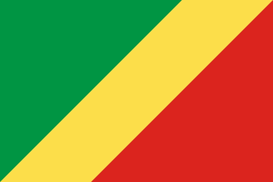 Republic of the Congo
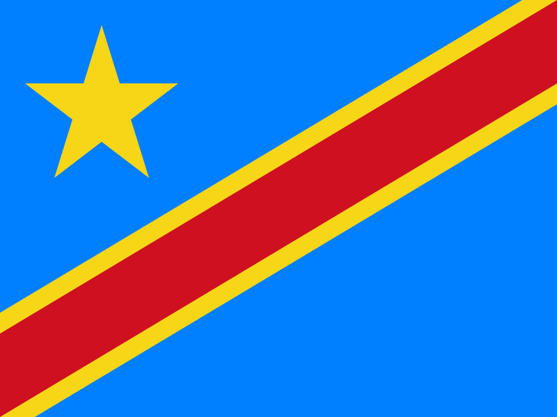 Democratic Republic of the Congo
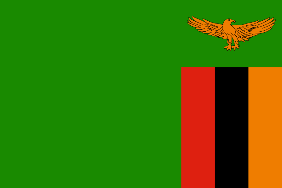 Zambia
 Namibia
What did you discover?
Sources and image credits
This English article draws on the institutional sources listed below. Figures and memberships retain their stated reference dates.
Source record: 2 November 2026. A translation does not change the reference date of a figure or membership list.
- github.com/factbook/factbook.json/blob/144d6977b2b01ac1cbd220de754c0a005616760b/africa/ao.json
- data.worldbank.org/indicator/SP.POP.TOTL
- whc.unesco.org/en/statesparties/ao
- github.com/mledoze/countries