Palau Flag, Capital and Country Facts
Palau is located in the western Pacific Ocean and geographically belongs to Micronesia. High volcanic islands, coral limestone islands and lagoons form different habitats. The flag shows a yellow moon on a light blue background. Ngerulmud is the political headquarters, while Koror, as a former capital center, continues to play an important role in everyday island life.
Test your knowledge →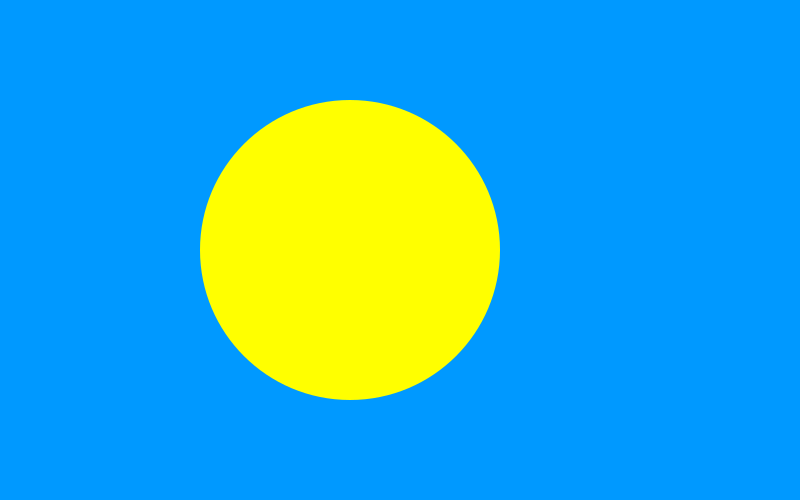
Palau at a glance
- Capital
- Ngerulmud
- Quiz continent
- Oceania
- Languages in reference record
- Palauic and English; additional local regulations in individual states
- Currency
- US dollar (USD)
- Population
- 17,663 (2025, World Bank)
- Area
- 459 km²
- Coastal setting
- Not landlocked
- ISO codes
- PW / PLW
- Internet country suffix
- .pw
- Independence
- 1 October 1994
- The seat of government since
- 2006 in Ngerulmud
- Largest island
- Babeldaob
- Former capital
- Koror
- State breakdown
- 16 States
- Flag motif
- Full moon
Palau Flag: Design, Meaning and History
A large yellow circle lies on a light blue background and is slightly offset to the pole side. There are no stars, letters or borders. Although the motif can be reminiscent of other circular flags, it represents the moon here. The light blue background and the yellow instead of red circle distinguish Palau clearly from Japan and Bangladesh.
The full moon has a special significance in palauic symbolism as an opportune time for community activities. It is associated with peace and tranquility. Blue refers to the sea. The flag was adopted in 1981, i.e. already before the state independence in 1994. Their simple form condenses a specific island tradition and is not just a general sun symbol.
Capital: Ngerulmud
Ngerulmud is located on Babeldaob in Melekeok State. The seat of government was moved here from Koror in 2006. The capital is mainly known for its administrative district and not a large conurbation. The name Melekeok can therefore appear in older or simplified representations, but does not denote exactly the same level as Ngerulmud.
Koror, despite the relocation, remained the most important urban and economic center. This difference shows particularly clearly that capital status and population or economic focus do not have to coincide. For the quiz, Ngerulmud is the unequivocal capital answer; Koror’s meaning merely explains why travelers and older sources often call this name first.
Practise this capital →Palau: Geography, History and Culture
Babeldaob is the largest island and has a higher, hilly relief. The famous Rock Islands, on the other hand, consist of forested limestone islands in a lagoon landscape. Reefs divide the coastal and marine spaces. The state area thus comprises different types of islands, which differ in terms of soil, water and human use. The local lagoons and the open sea form very different areas of life and transport.
Palauic is an independent Austronesian language, English is also important for administration and international contacts. Additional linguistic regulations apply in individual states. A national shortlist therefore does not reflect every local specificity. Seafaring and connections to other Micronesian islands are part of the history as well as European, Japanese and American phases of rule.
Independence from the U.S.-administered trust territory came in 1994. Palau is linked to the United States by a free association agreement. The factbook archive stand of 2025 describes tourism and public services as important economic sectors. The economic use of the marine landscape and its protection are closely related, but should not be confused with a blanket idea of totally untouched islands.
Rock Islands Southern Lagoon
The southern Rock Islands lagoon is a mixed UNESCO World Heritage site. The entry combines ecological values with traces of human use.
Stone money connections
Palau’s UNESCO list of proposals includes quarries for yapic stone money. They point to historical connections to Yap beyond today’s state borders.
New capital
The move to Ngerulmud shows the difference between a planned seat of government and a grown trading city. Koror remained significant despite the political change.
Explore neighbouring and related places
 Australia
 Federated States of Micronesia
 Fiji
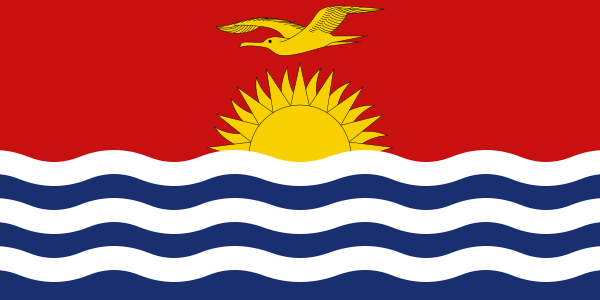 Kiribati
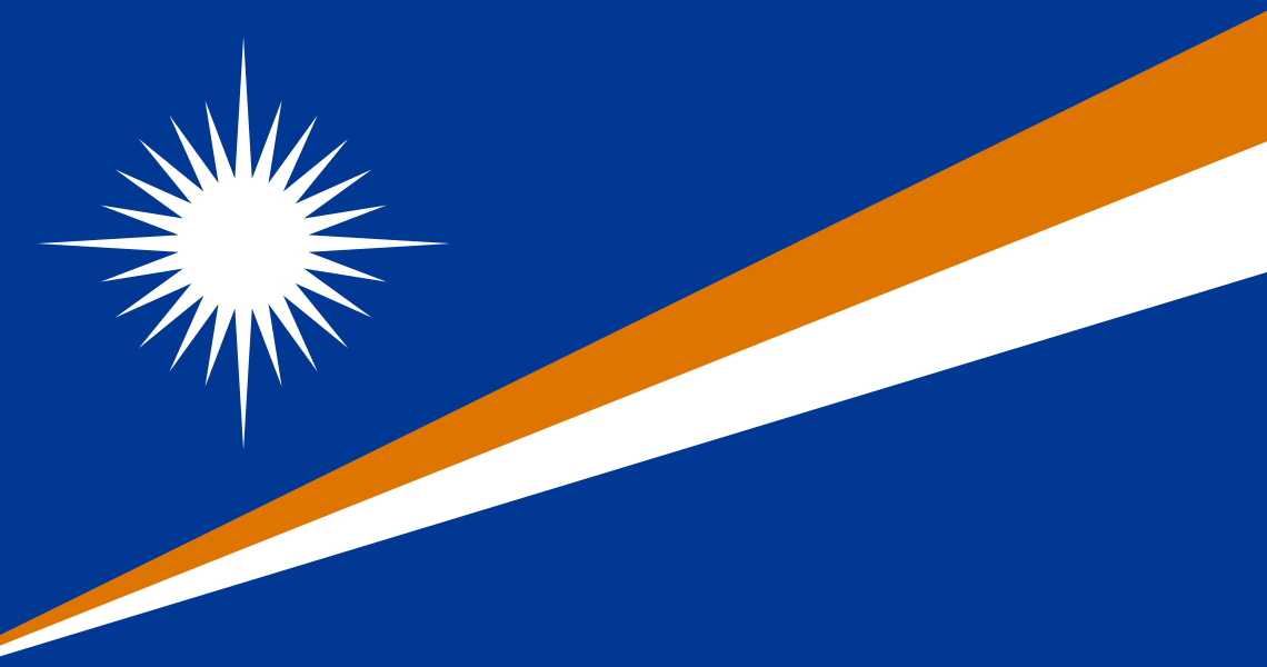 Marshall Islands
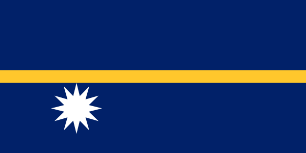 Nauru
What did you discover?
Sources and image credits
This English article draws on the institutional sources listed below. Figures and memberships retain their stated reference dates.
Source record: 2 November 2026. A translation does not change the reference date of a figure or membership list.
- github.com/factbook/factbook.json/blob/144d6977b2b01ac1cbd220de754c0a005616760b/australia-oceania/ps.json
- data.worldbank.org/indicator/SP.POP.TOTL
- whc.unesco.org/en/statesparties/pw
- github.com/mledoze/countries