New Zealand Flag, Capital and Country Facts
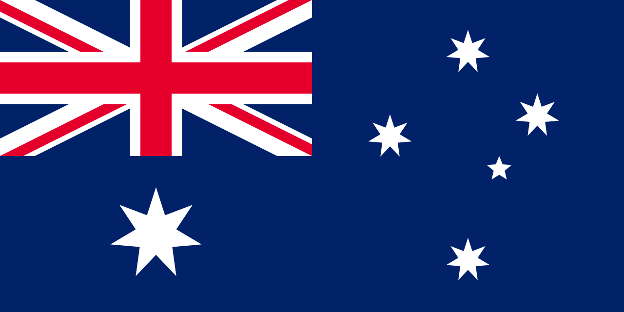
New Zealand is located in the southwestern Pacific Ocean and is called Aotearoa on Māori. The North and South Islands form the largest land masses, but other island groups are also among them. Wellington lies on the strait between the two main islands. The flag connects the Union Jack with four stars of the Southern Cross and is distinctly different from Australia's flag.
Test your knowledge →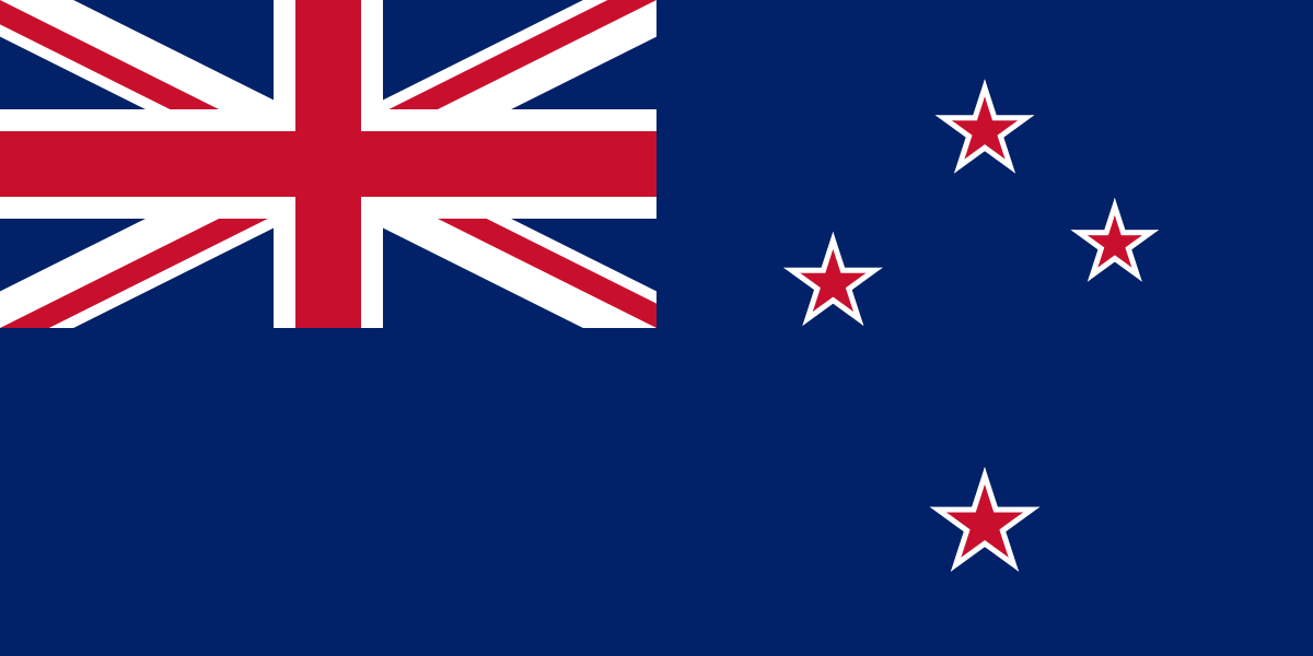
New Zealand at a glance
- Capital
- Wellington
- Quiz continent
- Oceania
- Languages in reference record
- English, Te Reo Māori and New Zealand Sign Language (official languages)
- Currency
- New Zealand dollar (NZD)
- Population
- 5,324,700 (2025, World Bank)
- Area
- 270,467 km²
- Coastal setting
- Not landlocked
- ISO codes
- NZ / NZL
- Internet country suffix
- .nz
- Highest mountain
- Aoraki/Mount Cook, 3.724 m
- Straits of Wellington
- Cookstraße
- Former capital
- Auckland
- Capital change
- 1865
- Waitangi Day
- February 6, reference to the Treaty of 1840
- Flag stars
- 4 red stars with white borders
New Zealand Flag: Design, Meaning and History
On a dark blue background stands the top left of the British Union Jack. On the right are four red five-pointed stars with white borders. They represent the Cross of the South. A large star under the Union Jack is missing; exactly this detail and the red star centers help in comparing it to the Australian flag.
The Union Jack commemorates the historical connections to the United Kingdom, the star group of the situation in the southern hemisphere. The national flag can be distinguished from other New Zealand symbols such as the silver fern. A common symbol or flag suggestion does not automatically replace the official flag seen in the quiz.
Capital: Wellington
Wellington is located at the southern tip of the North Island on Cookstraße. The capital is thus close to the transition to the South Island. Auckland, further north, is a large economic metropolis, but not the capital. The separation of both roles is a frequent and well-explained stumbling block in the country quiz.
The capital function changed in 1865 from Auckland to Wellington. The location between the two large island parts was important. The harbour and the strait shape the city as well as the hilly terrain. Wellington is therefore neither an arbitrarily chosen inland location nor simply the largest city in the country.
Practise this capital →New Zealand: Geography, History and Culture
The North Island is characterized, among other things, by volcanism and geothermal areas. On the south island are the southern Alps with Aoraki/Mount Cook, the highest mountain in the country. Fjords, glacier landscapes and forests are among other characteristic spaces. Despite the common location in the Pacific, both main islands therefore have different geological and scenic focuses.
The first permanent settlement took place by Polynesian ancestors of the Māori, later European immigration followed. The Treaty of Waitangi of 1840 is a central reference point in the history of the country and is discussed in its various language versions and interpretations to this day. Waitangi Day on February 6 commemorates this treaty; it is not an easy Independence Day.
Te Reo Māori and New Zealand Sign Language have legally recognized official status. English is the dominant everyday language and since August 7, 2026 also expressly official language. This new legal situation is verifiable in the English Language Act 2026. The example shows why language should be distinguished between actual use, historical position and a dated legal regulation.
Tongariro’
Tongariro National Park is a mixed natural and cultural heritage. In addition to the volcanic landscape, UNESCO also recognises its cultural significance for Māori. The entry shows that natural spaces can be carriers of history and religious relations at the same time.
Te Wahipounamu
Southwestern New Zealand has been on the World Heritage List since 1990 as Te Wahipounamu. This large landscape area is located on the South Island. It complements the volcanic spaces of the North Island with another form of mountain, forest and glacier landscape.
Subantarctic Islands
New Zealand's sub-Antarctic islands are also listed as a natural world heritage site. The national territory thus comprises more than North and South Island. The distant archipelagos make visible its great Pacific and southern extent.
Explore neighbouring and related places
 Australia
 Federated States of Micronesia
 Fiji
 Kiribati
 Marshall Islands
 Nauru
What did you discover?
Sources and image credits
This English article draws on the institutional sources listed below. Figures and memberships retain their stated reference dates.
Source record: 2 November 2026. A translation does not change the reference date of a figure or membership list.
- github.com/factbook/factbook.json/blob/144d6977b2b01ac1cbd220de754c0a005616760b/australia-oceania/nz.json
- data.worldbank.org/indicator/SP.POP.TOTL
- whc.unesco.org/en/statesparties/nz
- legislation.govt.nz/act/public/2026/49/en/latest
- nzhistory.govt.nz/parliament-meets-wellington
- education.govt.nz/parents-and-caregivers/schools-year-0-13/parent-portal/learning-languages-years-1-10
- github.com/mledoze/countries