Mali Flag, Capital and Country Facts
Mali lies in the interior of West Africa and ranges from comparatively wetter southern landscapes across the Sahel to the Sahara. Niger connects important settlement areas and describes a large arc through the country. The green-yellow-red flag is simple, but can easily be confused with the motives of neighboring states.
Test your knowledge →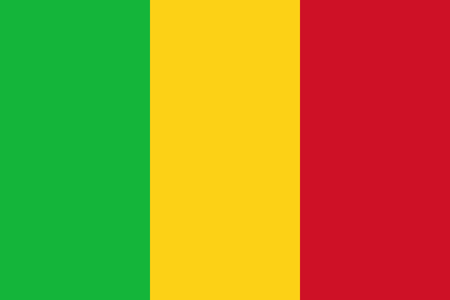
Mali at a glance
- Capital
- Bamako
- Quiz continent
- Africa
- Languages in reference record
- Bambara and other national languages; French as a working language
- Currency
- West African CFA franc (XOF)
- Population
- 25,198,821 (2025, World Bank)
- Area
- 1,240,192 km²
- Coastal setting
- Landlocked
- ISO codes
- ML / MLI
- Internet country suffix
- .ml
- Large river
- Niger
- Important flooding area
- Niger’s Inner Delta
- Historical city
- Timbuktus
- World Heritage
- Old Towns of Djenné
- Striking landscape
- Rocks of Bandiagara
- Independence
- 22 September 1960
Mali Flag: Design, Meaning and History
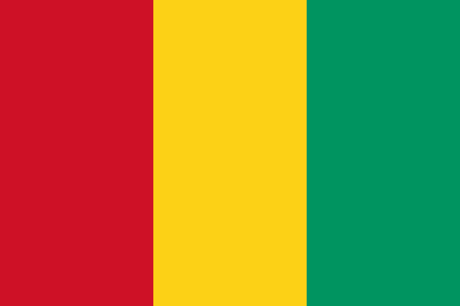
Three equally wide vertical stripes point green, yellow and red from left to right. A star or coat of arms is missing. This order is crucial: Guinea uses the same colors in reverse. Senegal also has the green-yellow-red order, but also carries a green star in the middle. Mali is the variant without middle signs.
The colors belong to the Pan-African tradition. They connect the national motive with the history of African independence movements. For a clear assignment, however, the exact comparison rather than a general color interpretation helps. Many states use related sets of colours without having the same historical development or the same political institutions.
Capital: Bamako
Bamako is located in the southwest of Niger. The capital is thus located in a different landscape than the dry northern areas around Timbuktu. The river and the more favorable location in the south contribute to the importance of the location. The capital and the most famous historical city are therefore particularly clearly distinguishable from each other in Mali.
Timbuktu was an important place of trans-Saharan connections and Islamic scholarship. It is not a capital today, but remains central to Mali’s historical image. UNESCO lists Timbuktu as a World Heritage Site. The comparison with Bamako helps to separate current administrative functions from older commercial and knowledge centers without treating either of the two places as unimportant.
Practise this capital →Mali: Geography, History and Culture
The north-south extension includes different natural zones. In the north are Saharan spaces, in the center of the semi-arid Sahel and in the south more agricultural areas. Niger forms large seasonally flooded areas in its inland delta. The term delta does not therefore refer to an estuary by the sea: Mali remains a landlocked state despite its large river.
Bambara is an important linguistic language, besides Fulfulde, Songhai and Tamascheq are spoken. This diversity corresponds to different historical and regional connections. For a country description, a selection makes more sense than the assertion of a single common everyday language. French continues to be important through the colonial period and administrative history, but it does not only describe the linguistic reality.
The old towns of Djenné, the tomb of Askia and the rock landscape of Bandiagara complement Timbuktu on the World Heritage List. The different places stand for urban construction, history of rule and the connection of settlements with a striking landscape. In historical texts, the present territory is also to be distinguished from the medieval empire of Mali: borders and spatial extent were not identical.
A delta inland
The Niger inland delta is far from the sea. Seasonal flooding makes it an independent landscape and usage space.
Timbuktu as a place of knowledge
Timbuktu is a UNESCO World Heritage Site and a historical reference point for trans-Saharan contacts. Today’s capital is called Bamako.
Flag without star
Mali's tricolor has no middle sign. So it can be distinguished from Senegal, while opposite Guinea the order of colors helps.
Explore neighbouring and related places
 Algeria
 Burkina Faso
 Guinea
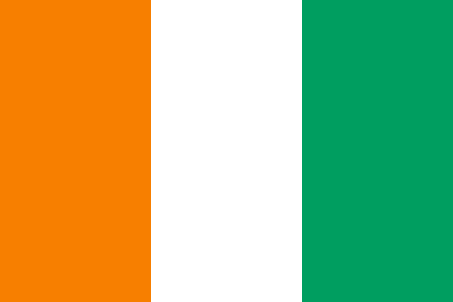 Côte d’Ivoire
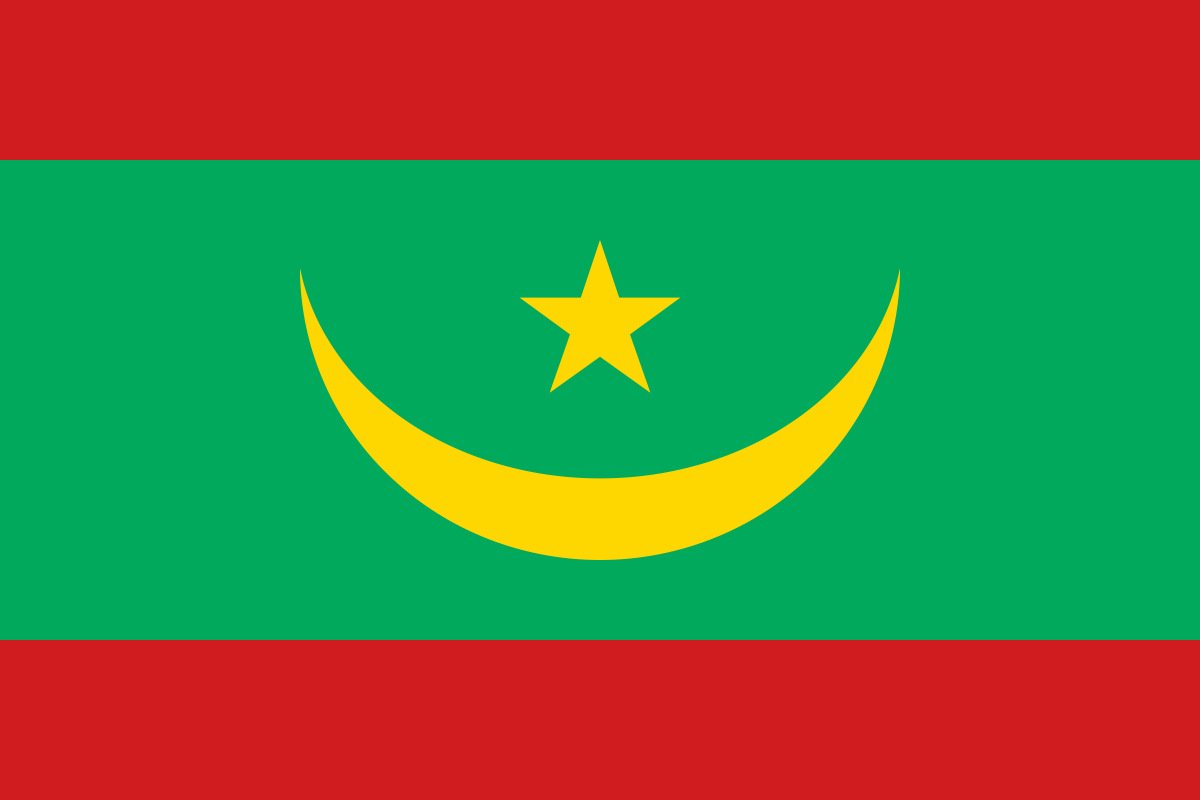 Mauritania
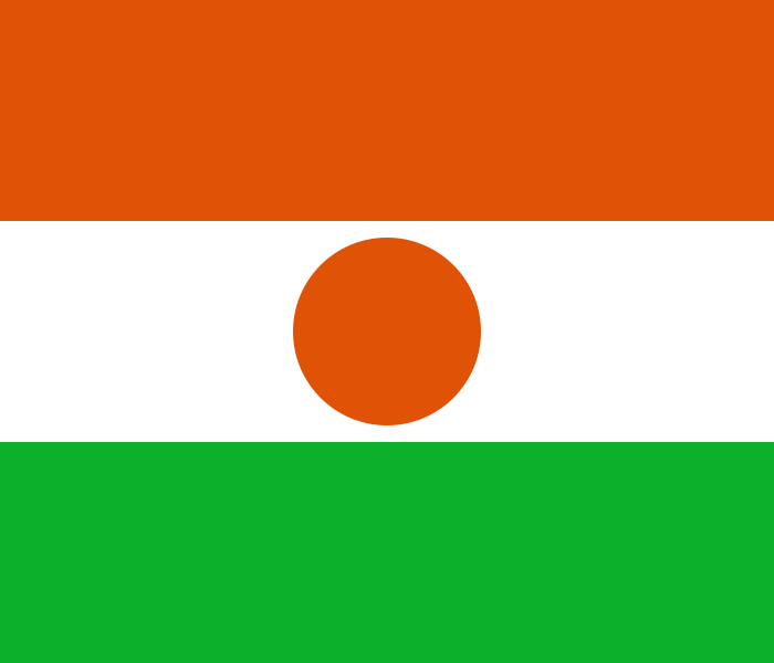 Niger
What did you discover?
Sources and image credits
This English article draws on the institutional sources listed below. Figures and memberships retain their stated reference dates.
Source record: 2 November 2026. A translation does not change the reference date of a figure or membership list.
- github.com/factbook/factbook.json/blob/144d6977b2b01ac1cbd220de754c0a005616760b/africa/ml.json
- data.worldbank.org/indicator/SP.POP.TOTL
- whc.unesco.org/en/statesparties/ml
- github.com/mledoze/countries