Côte d’Ivoire Flag, Capital and Country Facts
Ivory Coast, officially known as Côte d’Ivoire, is located on the Gulf of Guinea. Lagoons and wet forest areas in the south merge north into savannahs. Its orange-white-green flag is easily confused with Ireland; two names help with the capital: Yamoussoukro is the capital, Abidjan remains an important administrative and economic centre.
Test your knowledge →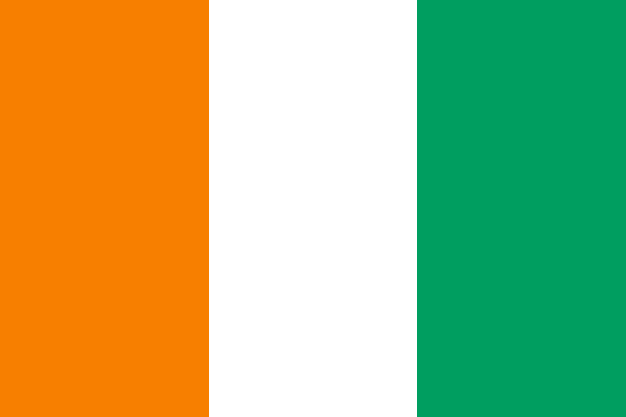
Côte d’Ivoire at a glance
- Capital
- Yamoussoukro
- Quiz continent
- Africa
- Languages in reference record
- French (official); numerous other languages, including Dioula, Baoulé and Bété
- Currency
- CFA-franc BCEAO (XOF)
- Population
- 32,711,547 (2025, World Bank)
- Area
- 322,463 km²
- Coastal setting
- Not landlocked
- ISO codes
- CI / CIV
- Internet country suffix
- .ci
- Other country name
- Côte d’Ivoire
- Capital since
- 1983
- Important port city
- Abidjan
- Coastal lagoon
- Ébrié lagoon
- Independence
- 7 August 1960
- Historical coastal town
- Grand Bassam
Côte d’Ivoire Flag: Design, Meaning and History
Three equally wide vertical stripes appear from the mast to the flight side in orange, white and green. The flag bears neither star nor coat of arms. Particularly important is the orange stripe on the mast: Ireland’s similarly constructed flag, on the other hand, starts with green and ends with orange.
The design was adopted in 1959, even before independence in 1960. Orange and green are connected to the different landscapes of the country, white with peace and unity. The simple tricolor thus belongs to the construction of national symbols at the end of the French colonial period; a certain emblem does not have to be memorized for recognition.
Capital: Yamoussoukro
Yamoussoukro has been the capital of Ivory Coast since 1983. The city is located inland and was closely connected with the first President Félix Houphouët-Boigny. Its role should be formulated precisely: the capital decision did not lead to Abidjan losing its importance as an administrative, commercial and population centre.
Abidjan is located on the Ébrié Lagoon near the Atlantic Ocean. Its port and connection to the coastal area account for a large part of its economic weight. Both are therefore important for knowledge of countries: the answer to the quiz question is Yamoussoukro; Abidjan must be considered for the actual spatial distribution of institutions and economic activity.
Practise this capital →Côte d’Ivoire: Geography, History and Culture
The land consists mainly of plains and undulating terrain; in the west and northwest it becomes more mountainous. The natural environment is changing from humid southern forest landscapes to drier savannahs in the north. Accordingly, cultivation, vegetation and water balance differ. The Atlantic coast is characterized in many places by lagoons that are clearly different from the open sea.
Cocoa and other agricultural export products are closely linked to economic history. Managed landscapes are next to important protected areas: The Taï National Park preserves rainforest, the Comoé National Park includes other types of landscape. The comparison of both UNESCO sites makes ecological diversity more vivid than the blanket designation “tropical land” and explains different nature conservation tasks.
French is the official language, but many other languages are spoken in everyday life. Dioula serves as a linguistic language in many places; Baoulé and Bété are also part of the linguistic landscape. The UNESCO cultural sites are also distributed regionally: Grand Bassam is located on the coast, the Sudanese-style mosques are located in the north. These spatial differences are part of the history of the country.
Grand Bassam
The historic city has been on the World Heritage List since 2012. It complements the modern port metropolis of Abidjan with an older urban development reference on the coast.
Mosques in the North
The Sudanese-style mosques became UNESCO World Heritage sites in 2021. They show cultural connections across today’s state borders and anchor the north in West African building traditions.
Taï and Comoé
Both national parks are part of the world heritage, but were added in different years. Together, they illustrate the change between forest and savannah spaces within a country.
Explore neighbouring and related places
 Burkina Faso
 Ghana
 Guinea
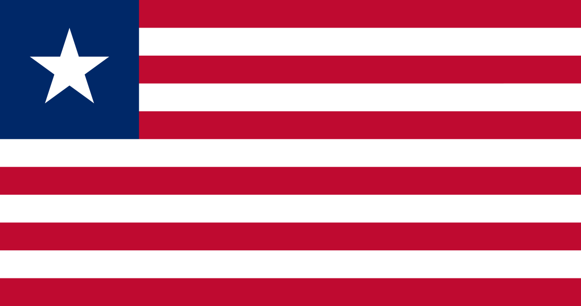 Liberia
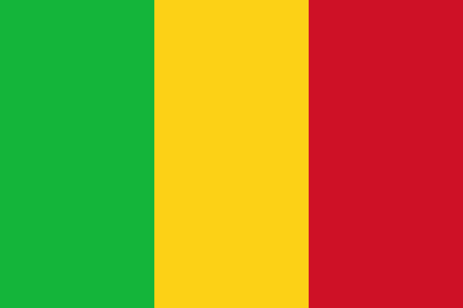 Mali
What did you discover?
Sources and image credits
This English article draws on the institutional sources listed below. Figures and memberships retain their stated reference dates.
Source record: 2 November 2026. A translation does not change the reference date of a figure or membership list.
- github.com/factbook/factbook.json/blob/144d6977b2b01ac1cbd220de754c0a005616760b/africa/iv.json
- data.worldbank.org/indicator/SP.POP.TOTL
- whc.unesco.org/en/statesparties/ci/
- github.com/mledoze/countries