Mauritania Flag, Capital and Country Facts
Mauritania lies between the Sahara, the Atlantic and the Senegal River. Large dry spaces in the north face a narrower, more water-affected south. Nouakchott is the capital on the Atlantic coast. The green flag contains a golden crescent and star; red stripes at the upper and lower edges have been part of today’s design since 2017.
Test your knowledge →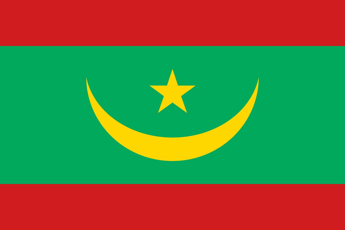
Mauritania at a glance
- Capital
- Nouakchott
- Quiz continent
- Africa
- Languages in reference record
- Arabic (official language), also Hassaniya Arabic, Pulaar, Soninke, Wolof and French
- Currency
- Ouguiya (MRU)
- Population
- 5,315,065 (2025, World Bank)
- Area
- 1,030,700 km²
- Coastal setting
- Not landlocked
- ISO codes
- MR / MRT
- Internet country suffix
- .mr
- Highest point
- Kediet Ijill, 915 m
- Southern River
- Senegal
- Important coastal location
- Nouadhibou
- Historical Desert City
- Chinguetti’
- Flag change
- Red borders since 2017
- Natural World Heritage
- Banc d’Arguin
Mauritania Flag: Design, Meaning and History
The main field is green. In its center lies an upwardly open golden-yellow crescent, above which stands a golden-yellow five-pointed star. Each red stripe closes the flag at the top and bottom. These red border stripes are important because older images often only show the green field with the golden signs.
The red stripes were added in 2017. Crescent, star and green belong to the Islamic symbolic tradition; yellow is associated with the sand of the Sahara, red with the struggle for independence. The older basic motif was preserved. A historical image without red borders therefore describes an earlier flag version and should not be equated with today's design without comment.
Capital: Nouakchott
Nouakchott is located near the Atlantic coast and was expanded as a capital during the course of independence. The city is located in a dry coastal area and is not a historical caravan center deep in the Sahara interior. Its modern capital function distinguishes it from the old desert cities, which often determine the tourist image of Mauritania.
Nouadhibou further north is another important coastal location. The distinction between the two cities helps to spatially classify political capital and port functions. Nouakchott’s growth also shows the shift from more mobile and rural lifestyles to urban settlements. Therefore, the countryside cannot be explained solely by nomadism or solely by its current large cities.
Practise this capital →Mauritania: Geography, History and Culture
The Sahara occupies a large part of Mauritania. Flat dry plains alternate with plateaus and individual high altitudes; Kediet Ijill reaches 915 meters according to the Factbook Archive. The Atlantic Ocean forms the western border, the Senegal River shapes the south. This contrast between desert space and river valley is essential for water availability, agriculture and settlement distribution.
The Banc-d’Arguin National Park connects desert, islands, shallow sea areas and coastal habitats. UNESCO has listed it as a natural world heritage site since 1989. Its importance arises precisely from the transition between land and sea. Mauritania is thus not only a Saharan state, but also a country with a long Atlantic coastline and important marine ecosystems.
Arabic is an official language; Hassaniya is the characteristic everyday Arabic language of many people. Pulaar, Soninke and Wolof are also part of the linguistic landscape. The older cities of Ouadane, Chinguetti, Tichitt and Oualata were involved in regional trade and knowledge networks. Its history connects the Sahara with spaces south of the desert and contradicts the impression of a completely isolated desert country.
Four Historic Ksours
Ouadane, Chinguetti, Tichitt and Oualata have been on the World Heritage List together since 1996. They open up the history of fortified settlements and supra-regional connections in the Sahara.
Banc d’Arguin
The National Park has been a World Heritage Site since 1989. It complements the desert cities with a natural space in which the coast and sea are crucial.
Senegal River as a southern reference
The river forms the border area with Senegal over long distances. It creates different agricultural conditions than the dry plateaus in the north and illustrates the regional differences.
Explore neighbouring and related places
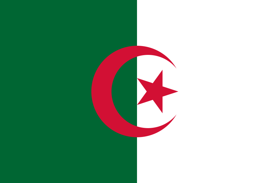 Algeria
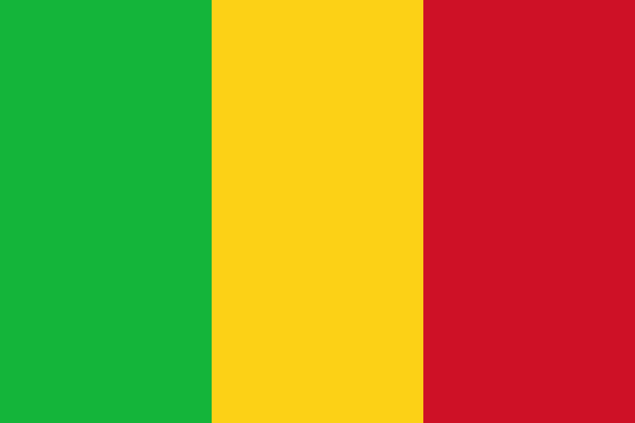 Mali
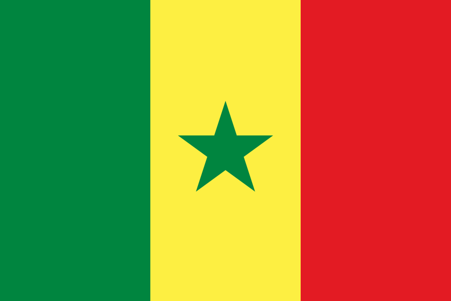 Senegal
What did you discover?
Sources and image credits
This English article draws on the institutional sources listed below. Figures and memberships retain their stated reference dates.
Source record: 2 November 2026. A translation does not change the reference date of a figure or membership list.
- github.com/factbook/factbook.json/blob/144d6977b2b01ac1cbd220de754c0a005616760b/africa/mr.json
- data.worldbank.org/indicator/SP.POP.TOTL
- whc.unesco.org/en/statesparties/mr/
- github.com/mledoze/countries