Iceland Flag, Capital and Country Facts
Iceland lies in the North Atlantic and makes geological processes unusually visible: volcanoes, glaciers, hot springs and young lava fields are close together. Reykjavík is the political centre in the southwest. The flag assumes the Nordic cross shape, but combines it with its own blue-white-red color composition, which is often explained by the island nature.
Test your knowledge →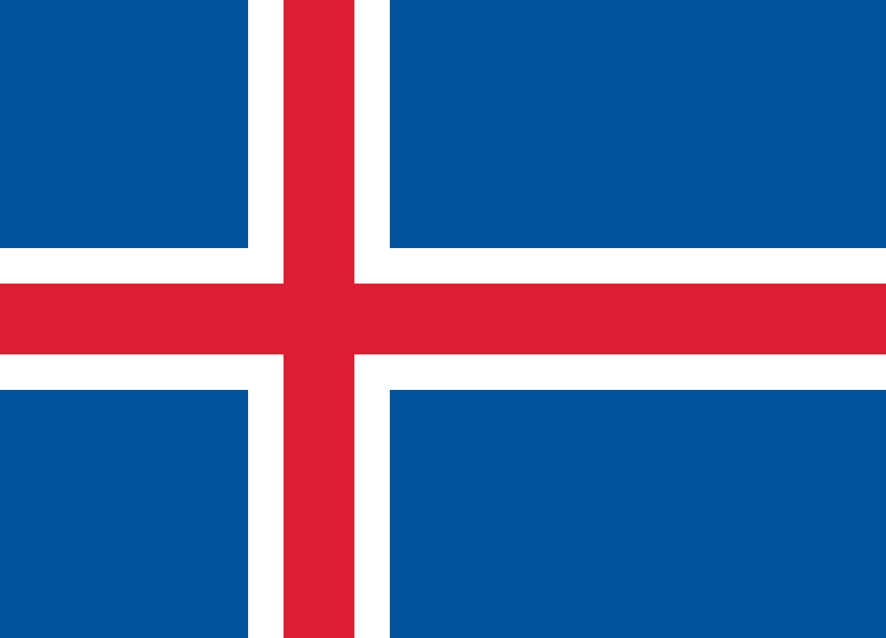
Iceland at a glance
- Capital
- Reykjavík
- Quiz continent
- Europe
- Languages in reference record
- Icelandic; also, inter alia, English and Polish
- Currency
- Icelandic krone (ISK)
- Population
- 392,404 (2025, World Bank)
- Area
- 103,000 km²
- Coastal setting
- Not landlocked
- ISO codes
- IS / ISL
- Internet country suffix
- .is
- Highest point
- Hvannadalshnúkur, approximately 2,110 m
- Great ice field
- Vatnajökull’
- Republic since
- 1944
- Historical meeting place
- Þingvellir’
- Young Volcanic Island
- Surtsey
- Ocean Ocean
- North Atlantic Ocean
Iceland Flag: Design, Meaning and History
On a blue background lies a red cross with a white border. All the cross arms reach to the edge; the vertical beam is closer to the mast. The white borders clearly separate red from blue. This combination distinguishes Iceland from Norway, for example, whose base area is red and whose inner cross is blue.
The flag was adopted in 1915 and continued at the founding of the republic in 1944. Their color interpretation refers blue to the sea, white to snow and ice, and red to volcanic fire. The Nordic cross-form also refers to historical and cultural connections with the other Nordic countries; it is not to be understood as a mere map of the island.
Capital: Reykjavík
Reykjavík is located on the southwest coast and is the capital of Iceland. The name means smoke bay and is associated with steam from hot sources. This origin fits an island where geothermal energy is both visible in the landscape and has a practical significance for the supply of buildings.
The city is the most important political and economic center, while large parts of the highlands are hardly populated. For spatial classification, the comparison between the densely networked southwest and the sparsely populated island interior helps. Reykjavík is not to be equated with the entire capital area, which also includes neighboring municipalities.
Practise this capital →Iceland: Geography, History and Culture
Iceland lies on the Mid-Atlantic Ridge, where tectonic plates move apart. This explains part of its volcanic activity and the numerous geothermal phenomena. Volcanism and glaciation work together on the same island: lava builds new shapes, while glaciers shape valleys and meltwater shifts large amounts of sediment. “Fire and ice” therefore describes a real landscape context.
The interior consists largely of highlands and mountains. The coast is divided by bays and fjords, while large ice fields cover individual highland areas. The Hvannadalshnúkur reaches about 2,110 meters according to the Factbook archive. Despite the high northern latitude, coastal location does not mean the same climate everywhere; ocean currents and exposure also play a role.
Icelandic is one of the North Germanic languages. Medieval literature and the history of Alþingi are important references to cultural development. The people’s assembly met historically in Þingvellir, a place that also illustrates geological processes. In this way, political history and natural space can be learned together at a concrete site without confusing the two.
Þingvellir’
The National Park became a World Heritage Site in 2004. It connects a historic meeting place with a landscape on the tectonic burrow.
Surtsey
The young volcanic island has been on the World Heritage List since 2008. It is of particular importance for research into the colonization of new land areas by living organisms.
Vatnajökull’
The National Park has been a World Heritage Site since 2019. Its official UNESCO title emphasizes the dynamic nature of fire and ice, thus naming the interaction of different landscape forces.
Explore neighbouring and related places
 Albania
 Andorra
 Austria
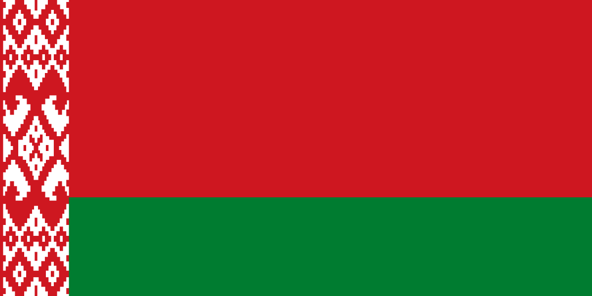 Belarus
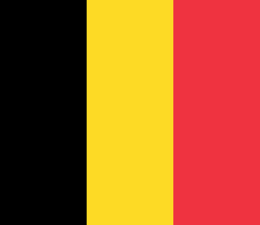 Belgium
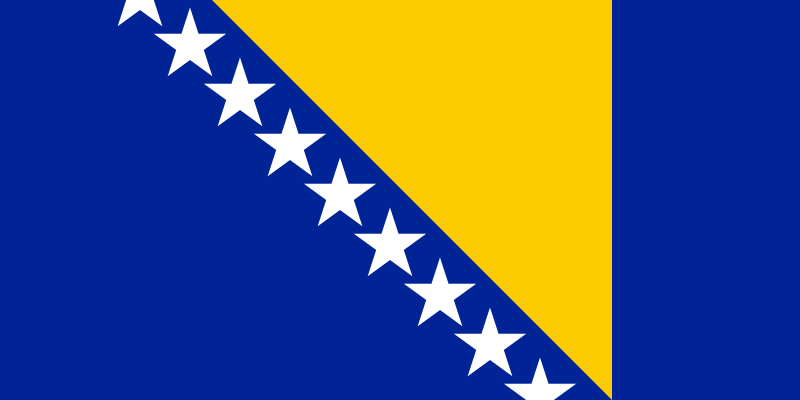 Bosnia & Herzegovina
What did you discover?
Sources and image credits
This English article draws on the institutional sources listed below. Figures and memberships retain their stated reference dates.
Source record: 2 November 2026. A translation does not change the reference date of a figure or membership list.
- github.com/factbook/factbook.json/blob/144d6977b2b01ac1cbd220de754c0a005616760b/europe/ic.json
- data.worldbank.org/indicator/SP.POP.TOTL
- whc.unesco.org/en/statesparties/is/
- github.com/mledoze/countries