Bosnia & Herzegovina Flag, Capital and Country Facts
Bosnia and Herzegovina connects forested mountains, river valleys and a narrow access to the Adriatic Sea. The country name denotes two historical landscapes within a state. Its blue flag with a yellow triangle and an open row of stars relies on geometric shapes; Sarajevo and the bridges of Mostar and Višegrad lead to a multi-layered city history.
Test your knowledge →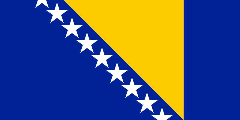
Bosnia & Herzegovina at a glance
- Capital
- Sarajevo
- Quiz continent
- Europe
- Languages in reference record
- Bosnian, Croatian and Serbian
- Currency
- Convertible Mark (BAM)
- Population
- 3,140,095 (2025, World Bank)
- Area
- 51,209 km²
- Coastal setting
- Not landlocked
- ISO codes
- BA / BIH
- Internet country suffix
- .ba
- Highest mountain
- Maglić, 2,386 m
- Coastal town
- Neum on the Adriatic
- The River of the Capital
- Miljacka
- Peace Agreement
- Dayton, 1995
- Historic Bridge
- Mehmed-Paša-Sokolović Bridge in Višegrad
- Winter Games
- Sarajevo, 1984
Bosnia & Herzegovina Flag: Design, Meaning and History
On a blue background, there is a yellow, rectangular triangle. On its oblique side runs a row of white stars; above and below stars are cut. It is precisely this continuing series that distinguishes the motif from a closed group of individually counted star states. The flag does not contain a coat of arms or writing.
The present design was created in 1998 after the war and the Dayton peace agreement. The triangle is associated with the approximate shape of the country and its three constitutive population groups. Blue and stars refer to European references. The symbolism describes a state design claim and must not be understood as an assertion that each person belongs to only one of three groups.
Capital: Sarajevo
Sarajevo is located in a valley surrounded by mountains on the Miljacka River. The capital is therefore different from an open port or coastal city. Historical trade routes led through this location, while the surrounding relief limited the spatial extent of the city and helped determine its long-stretched form.
Ottoman and Austrian-Hungarian architectural history can be seen side by side in the cityscape. Sarajevo also stands for the 1984 Winter Olympics and the siege during the Bosnian War. These different layers of time belong together: a description as a mere meeting center would shorten the history of violence just as an exclusive presentation as a theatre of war.
Practise this capital →Bosnia & Herzegovina: Geography, History and Culture
The Dinaric Mountains characterize large parts of the country. Rivers such as Bosna, Neretva and Drina structure valleys and traffic routes. On the Adriatic, Bosnia and Herzegovina has only a short stretch of coastline near Neum; the state is therefore not an inland country despite its predominantly mountainous internal situation. The Neretva connects the Herzegovinian mountains with the Adriatic region, while the Drina belongs to the catchment area of the Sava and Danube. Within the country, important watersheds run between different sea directions.
Bosnian, Croatian and Serbian are closely related. Latin and Cyrillic writing are part of the linguistic environment. Religious and cultural traditions cannot be completely reduced to individual cities or to clear geographical dividing lines. The names Bosnia and Herzegovina refer to historical regions and are not simply the names of today's political sub-areas.
The political order goes back largely to the Dayton peace agreement. The factbook archive stand from 2025 describes the Federation of Bosnia and Herzegovina, Republika Srpska and the Special District of Brčko. This complex structure explains why national, regional and local responsibilities must be carefully distinguished. Current government offices are not a suitable substitute for this.
Mostars Bridge
UNESCO protects the Old Bridge area of Mostar. The entry refers to a historical urban fabric and its restoration after war destruction.
Stećci
The medieval tombstones are part of a cross-border world heritage. They connect the country with cultural sites in several neighbouring states.
Vjetrenica’
The cave Vjetrenica near Ravno became a World Heritage Site in 2024. In addition to the well-known buildings, the underground karst landscape is part of the protected heritage.
Explore neighbouring and related places
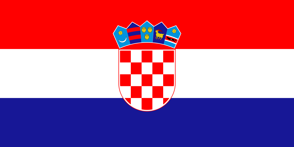 Croatia
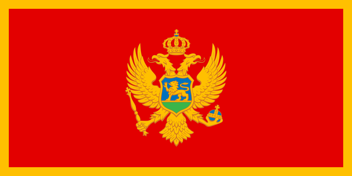 Montenegro
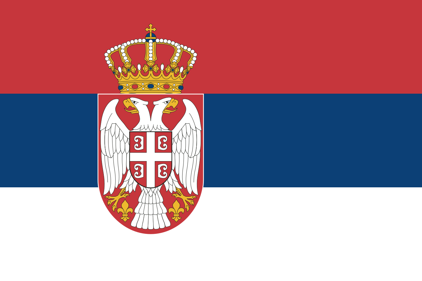 Serbia
What did you discover?
Sources and image credits
This English article draws on the institutional sources listed below. Figures and memberships retain their stated reference dates.
Source record: 2 November 2026. A translation does not change the reference date of a figure or membership list.
- github.com/factbook/factbook.json/blob/144d6977b2b01ac1cbd220de754c0a005616760b/europe/bk.json
- data.worldbank.org/indicator/SP.POP.TOTL
- whc.unesco.org/en/statesparties/ba
- github.com/mledoze/countries