Andorra Flag, Capital and Country Facts
Andorra is located between France and Spain in the middle of the Pyrenees. The small landlocked country combines a Catalan-influenced everyday culture with an unusual history as a co-principality. Its valleys carry cities and traffic routes, while the surrounding mountains greatly limit the space for agriculture, attracting hikers and winter sports enthusiasts.
Test your knowledge →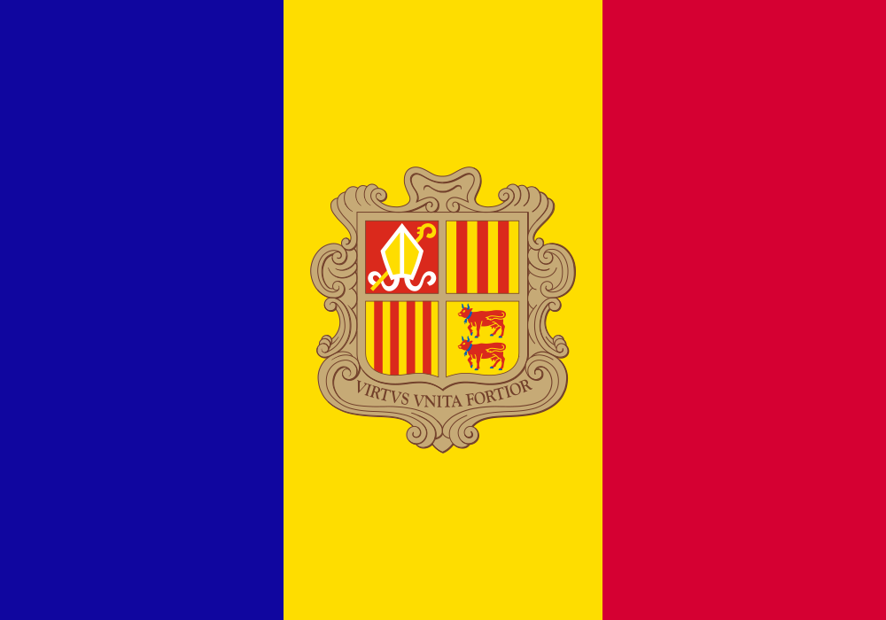
Andorra at a glance
- Capital
- Andorra la Vella
- Quiz continent
- Europe
- Languages in reference record
- Catalan (official language); also spreads Spanish, Portuguese and French
- Currency
- Euro (EUR)
- Population
- 82,904 (2025, World Bank)
- Area
- 468 km²
- Coastal setting
- Landlocked
- ISO codes
- AD / AND
- Internet country suffix
- .ad
- Highest summit
- Pic de Coma Pedrosa, 2,946 m
- Mountains
- Pyrenees
- Municipalities
- 7 Parròquies
- National holiday
- 8 September, Feast of the Mare de Déu de Meritxell
- Constitution
- 1993
- World Heritage
- Madriu-Perafita-Claror valley, registered in 2004
Andorra Flag: Design, Meaning and History
Three vertical stripes stand from left to right in blue, yellow and red. The yellow middle strip is slightly wider and carries the coat of arms of the state. This clearly distinguishes Andorra's flag from the blue-yellow-red flags of Romania and Chad, which do not show a corresponding coat of arms.
The four-part coat of arms contains signs of Urgell, Foix, Béarn and Catalonia. It thus refers to historical domination relations on both sides of the Pyrenees. The combination of French and Spanish colors is explained in the archived factbook as a reference to protection by both neighbors. Under the sign is the Latin motto “Virtus unita fortior”.
Capital: Andorra la Vella
Andorra la Vella is located in a mountain valley and is also one of the seven municipalities in the country. Its Catalan name means “the ancient Andorra”. The capital forms a coherent settlement space with the neighboring Escaldes-Engordany; the political boundary of the municipality is therefore not equated with the edge of the development.
Narrow valleys explain why administration, trade and roads are strongly concentrated here. Andorra la Vella is neither on a sea nor on a large international river. The routes to the two neighboring states lead through the Pyrenees, which means that the capital, despite its central tasks, has a completely different character than a port metropolis.
Practise this capital →Andorra: Geography, History and Culture
Steep mountain slopes and narrow river valleys determine the landscape. The Pic de Coma Pedrosa reaches 2,946 meters; even the deepest parts of the country are still well above sea level. Cold, snowy winters and warm summers create different seasonal uses. Ski resorts and hiking trails are therefore two sides of the same mountain landscape, while arable land has very little space.
Catalan is the official language, but the neighbourhood with Spain and France as well as immigration make everyday life multilingual. Spanish, Portuguese and French are also common. This linguistic distribution cannot simply be derived from the small area: Andorra is not a linguistic space without its own profile, but has a clearly named public national language.
The historic Partition Treaties of 1278 stand at the beginning of the special state order. A modern constitution of 1993 transformed the traditional co-principality into a parliamentary democracy. The French President and the Bishop of Urgell form the two institutional leaders. The euro as a means of payment also shows the economic interdependence with European neighbours.
A valley as a cultural landscape
The Madriu Perafita Claror Valley has been a UNESCO World Heritage Site since 2004. Unlike a single church, this entry protects an entire mountain landscape. It extends the image of Andorra beyond shopping streets and ski slopes.
Seven municipalities
Andorra is divided into seven parròquies. The term today denotes the political communities and at the same time bears its ecclesiastical origin in the name. For orientation, these valley and community centers are more helpful than a division into large provinces.
Two neighbors, own state
France and Spain completely enclose Andorra. The country does not have its own access to the sea. Nevertheless, its independence developed over centuries and can be read directly from the coat of arms, language and state institutions.
Explore neighbouring and related places
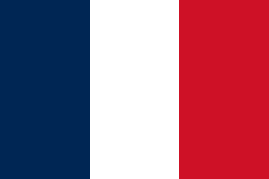 France
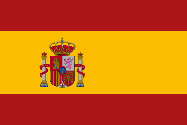 Spain
What did you discover?
Sources and image credits
This English article draws on the institutional sources listed below. Figures and memberships retain their stated reference dates.
Source record: 2 November 2026. A translation does not change the reference date of a figure or membership list.
- github.com/factbook/factbook.json/blob/144d6977b2b01ac1cbd220de754c0a005616760b/europe/an.json
- data.worldbank.org/indicator/SP.POP.TOTL
- whc.unesco.org/en/statesparties/ad
- github.com/mledoze/countries