Ethiopia Flag, Capital and Country Facts
Ethiopia is located on the Horn of Africa and has high mountain ranges, deep ditch landscapes and long-standing cultural evidence. The country today has no access to the sea. Its green-yellow-red flag influenced the colors of many African states. The blue midfield with a yellow star distinguishes the current state flag from older variants.
Test your knowledge →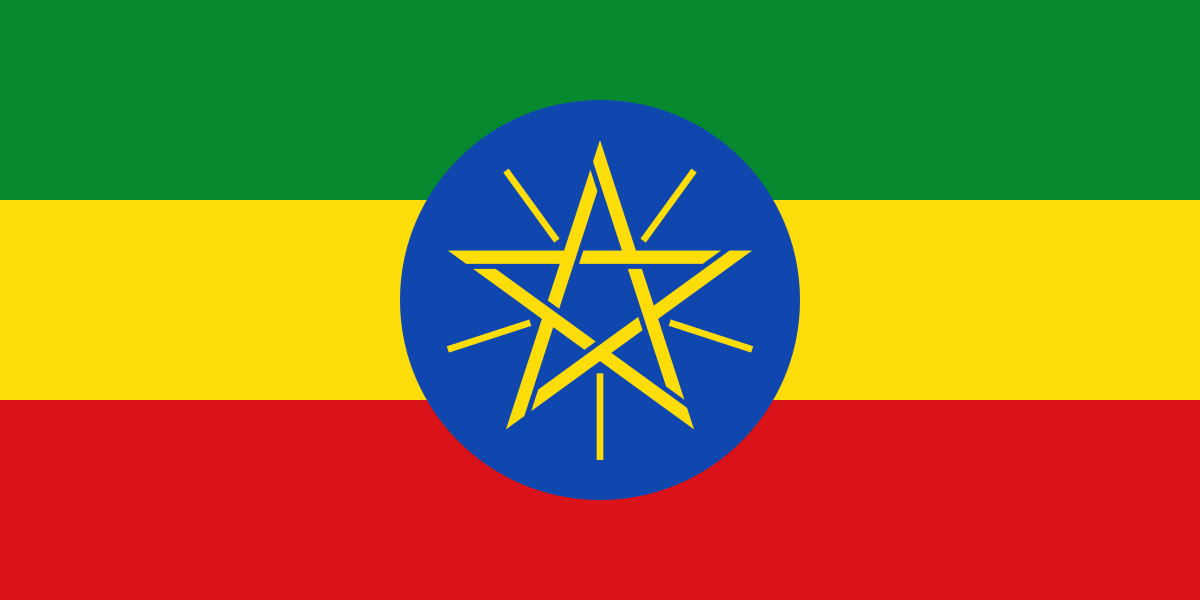
Ethiopia at a glance
- Capital
- Addis Ababa
- Quiz continent
- Africa
- Languages in reference record
- Selection of important languages: Amharic, Oromo, Somali, Tigrinya and Afar
- Currency
- Ethiopian pear (ETB)
- Population
- 135,472,051 (2025, World Bank)
- Area
- 1,104,300 km²
- Coastal setting
- Landlocked
- ISO codes
- ET / ETH
- Internet country suffix
- .et
- Great lake
- Tanases
- Important river
- Blue Nile / Abay
- Highest mountain
- Ras Daschan, about 4,550 m
- Mountain Protected Area
- Simien National Park
- Historical city
- Accumulation
- International Organisation
- African Union based in Addis Ababa
Ethiopia Flag: Design, Meaning and History
Three equally wide transverse stripes follow from top to bottom in green, yellow and red. In the middle is a blue disc with a yellow pentagram and yellow rays between its tips. In small images, the fine lines can be difficult to see; however, the blue disc remains a clear indication of the current subject.
Today's emblem was added in 1996. In the factbook archive of 2025, the colors are associated with hope, justice and sacrifice, the blue disc with peace and the pentagram with unity and equality. Ethiopia’s historical independence made its colors significant to other African states. Same colors therefore do not automatically mean the same national history.
Capital: Addis Ababa
Addis Ababa is located high in the central part of the country. The altitude provides different temperature conditions than in the hot low levels of the northeast. The capital is a political and economic center; its name is usually translated as New Flower. The city is significantly younger than several historical power centers and religious places of Ethiopia.
As the headquarters of the African Union, Addis Ababa also has an international role. For the historical image of the country, however, Aksum, Gondar and Lalibela are also important. The comparison makes it clear that today's capital, former centers of rule and important religious sites have different tasks and history of origin. They should not be reduced to a single midpoint.
Practise this capital →Ethiopia: Geography, History and Culture
The Ethiopian highlands are divided by the East African Trench and deeply cut valleys. In the northwest lies Lake Tanase, from which the Blue Nile flows. This connection explains the importance of Ethiopia for the entire Nile system: an inland country can provide water to distant states through its rivers and be ecologically closely connected with them.
Ethiopia is linguistically and culturally diverse. Amharic is especially well known; Oromo, Somali, Tigrinya, Afar and numerous other languages are also part of the linguistic landscape. The religious buildings show different traditions. While Lalibela is known for its rock churches, Harar Jugol stands for a fortified historical city with a distinct Islamic history.
In addition to cultural sites, the UNESCO World Heritage List also includes the Simien and Bale Mountains National Parks. Both represent special mountain areas. Archaeological sites in the valleys of Awash and Omo, on the other hand, open a much older window on human history. Natural history, archaeology and architectural history complement each other instead of merely providing a single narrative about the country.
Rock churches of Lalibela
The churches of Lalibela became a World Heritage Site in 1978. Its architecture is fundamentally different from freestanding church buildings, because the rock itself becomes a building material and spatial body.
Blue Nile source
Lake Tanase is an important starting point of the Blue Nile. Its connection to Sudan and Egypt explains the international importance of the Ethiopian highlands.
High mountains as natural heritage
Simien and Bale Mountains are on the UNESCO list. Ethiopia’s image of nature thus encompasses much more than dry lowlands and savannahs.
Explore neighbouring and related places
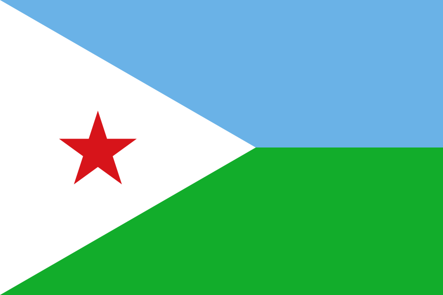 Djibouti
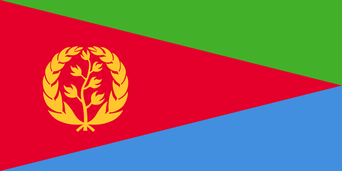 Eritrea
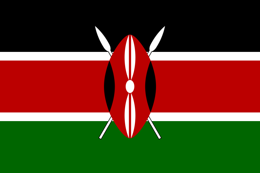 Kenya
 Somalia
 South Sudan
 Sudan
What did you discover?
Sources and image credits
This English article draws on the institutional sources listed below. Figures and memberships retain their stated reference dates.
Source record: 2 November 2026. A translation does not change the reference date of a figure or membership list.
- github.com/factbook/factbook.json/blob/144d6977b2b01ac1cbd220de754c0a005616760b/africa/et.json
- data.worldbank.org/indicator/SP.POP.TOTL
- whc.unesco.org/en/statesparties/et
- github.com/mledoze/countries