South Sudan Flag, Capital and Country Facts
South Sudan is a landlocked country in eastern Central Africa and became independent in 2011. Juba is located on the White Nile, whose water also characterizes the extended Sudd. The flag combines black-red-green stripes with a light blue triangle and yellow star. At the same time, the young state possesses landscapes and cultural histories that are far older than its national borders.
Test your knowledge →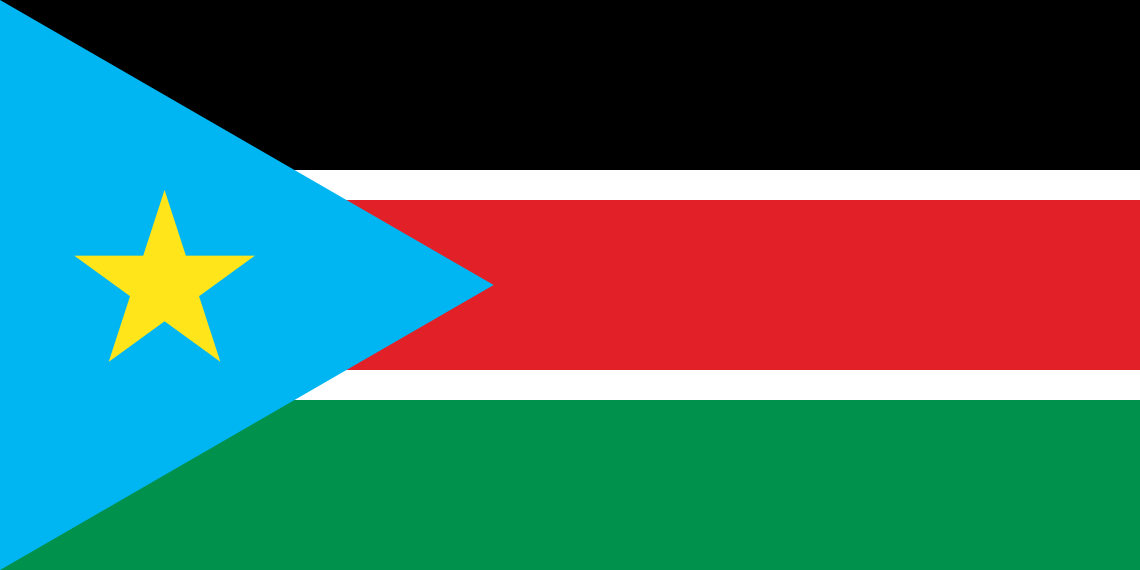
South Sudan at a glance
- Capital
- Juba
- Quiz continent
- Africa
- Languages in reference record
- English (official language); among others Dinka, Nuer, Bari and other languages
- Currency
- South Sudanese pound (SSP)
- Population
- 12,188,788 (2025, World Bank)
- Area
- 619,745 km²
- Coastal setting
- Landlocked
- ISO codes
- SS / SSD
- Internet country suffix
- .ss
- Independence
- 9 July 2011
- Highest mountain
- Kinyeti, 3.187 m
- Large river
- White Nile
- Wetland
- Sudd
- First World Heritage Entry
- Boma–Badingilo, 2026
- Flag motif
- Yellow star in the light blue triangle
South Sudan Flag: Design, Meaning and History
Black, red and green horizontal stripes are separated by narrow white lines. On the hoist side is a light blue triangle with a yellow five-pointed star. The representation shown in the quiz uses an upright star. The triangle clearly distinguishes the flag from Kenya’s similarly colored stripe image with shield.
The Factbook archive connects black with the population, red with the struggle for freedom, green with the land and blue with the Nile. The star is for unity. Older representations vary with blue tone and star position; the officially communicated light blue version is therefore to be especially noted in current comparisons. The six basic colors result in a strikingly multi-part motif.
Capital: Juba
Juba is located on the White Nile in the southern part of the country. The capital emerged from an older local settlement space; its name is associated with a Bari place. The river forms an important geographical axis and explains the connection between the city and the north adjoining landscapes.
Juba is the capital of South Sudan, which has been independent since 2011. The name of the state must not confuse the city with Khartoum, the capital of Sudan. They are two independent countries with different flags. The common historical context explains the similar names, but does not replace today's political distinction.
Practise this capital →South Sudan: Geography, History and Culture
Large plains and savannahs dominate large parts of the country; in the south and southeast mountains rise. The Kinyeti reaches 3,187 meters. The White Nile crosses the land and feeds the Sudd, an extensive wetland. Dry and flooded spaces change with the seasons, so the landscape cannot be described as a savannah that is uniform everywhere.
English is the official language; Dinka, Nuer, Bari and many other languages are part of everyday linguistic life. The common state designation brings together very different communities. Rivers, pastureland and seasonal water levels shaped their habitats long before the modern founding of the state. A factual presentation combines this diversity with concrete geography, instead of ascribing a single cultural characteristic to the entire population.
Independence on 9 July 2011 followed a referendum and long conflicts in the formerly joint Sudan. The new state also experienced heavy armed conflicts. Such recent developments require dated sources; figures from the factbook archive 2025 may not be issued as an up-to-date inventory. In the long term, Nile, Sudd and the border mountain areas remain essential points of reference.
Boma–Badingilo
UNESCO has been managing the Boma-Badingilo hiking landscape as a natural world heritage site since 2026. This is a newer entry than the provided factbook archive status. The name refers to contiguous landscapes and migratory movements instead of a single isolated monument.
Sudd
The Sudd is one of the wetlands of the Nile region. On the UNESCO country page, it is on the list of proposals. This status is to be distinguished from the actually registered World Heritage Boma-Badingilo; not every internationally known landscape is already a World Heritage site.
Differentiate between two states
South Sudan and Sudan have several capitals: Juba and Khartoum. Both flags have triangles on the hoist side, but different colors and motifs. The combination of the capital city name, Nile section and flag star therefore offers a good common learning aid.
Explore neighbouring and related places
 Central African Republic
 Democratic Republic of the Congo
 Ethiopia
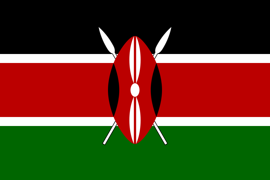 Kenya
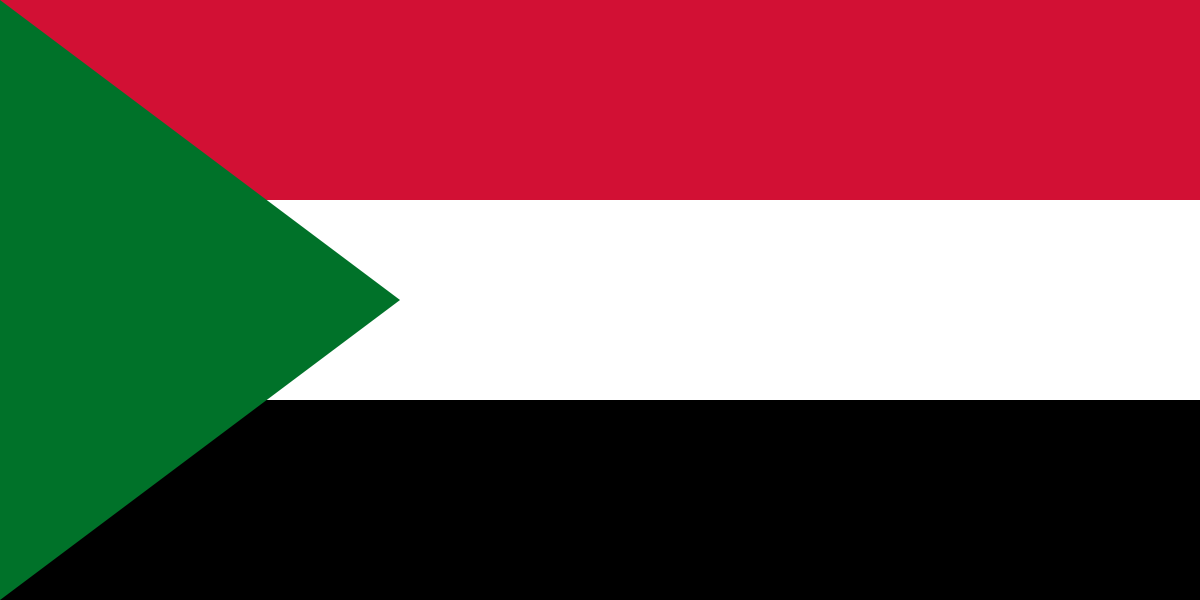 Sudan
 Uganda
What did you discover?
Sources and image credits
This English article draws on the institutional sources listed below. Figures and memberships retain their stated reference dates.
Source record: 2 November 2026. A translation does not change the reference date of a figure or membership list.
- github.com/factbook/factbook.json/blob/144d6977b2b01ac1cbd220de754c0a005616760b/africa/od.json
- data.worldbank.org/indicator/SP.POP.TOTL
- whc.unesco.org/en/statesparties/ss
- embrss.org.uk/south-sudan/south-sudan-at-a-glance
- radiotamazuj.org/en/news/article/media-authority-warns-against-printing-of-wrong-national-flag
- github.com/mledoze/countries