Cuba Flag, Capital and Country Facts
Cuba is the largest island in the Caribbean and at the same time the core of a state with numerous smaller islands. Havana is located on the north coast, while the highest mountains are in the southeast. The blue-and-white striped flag with red triangle was created in the 19th century and is significantly older than the 1959 revolution.
Test your knowledge →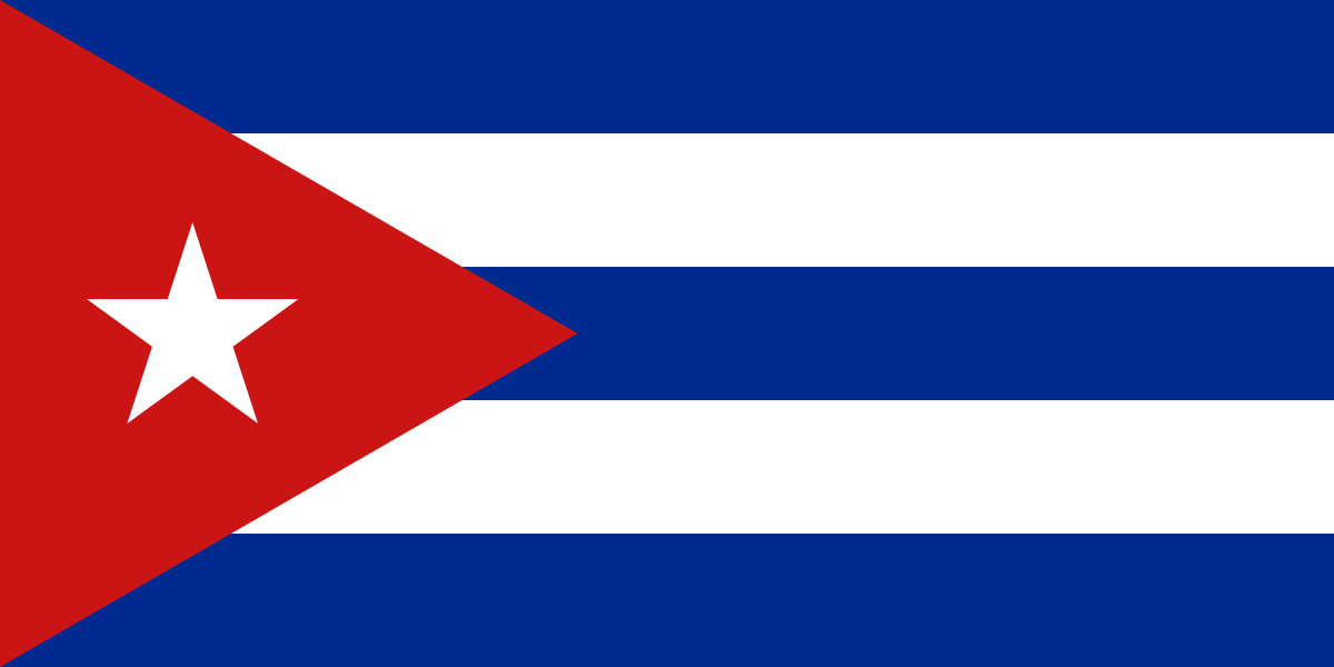
Cuba at a glance
- Capital
- Havana
- Quiz continent
- North America
- Languages in reference record
- Spanish
- Currency
- Cuban Peso (CUP)
- Population
- 10,937,203 (2025, World Bank)
- Area
- 109,884 km²
- Coastal setting
- Not landlocked
- ISO codes
- CU / CUB
- Internet country suffix
- .cu
- Highest point
- Pico Turquino, 1,974 m
- Mountains in the south-east
- Sierra Maestra
- Historic city in the east
- Santiago de Cuba
- Cultural landscape in the West
- Viñales Valley
- Flag design
- 1849
- National Flag since
- 1902
Cuba Flag: Design, Meaning and History
Five horizontal stripes alternate between blue and white; above and below is blue. On the mast is a red equilateral triangle with a white five-pointed star. The three blue stripes and the position of the triangle are the fastest features to recognize the flag as Cuban.
The motif was designed in 1849 and became the national flag after independence in 1902. The three blue stripes are related to the territorial division of the island at that time. The single star stands in the tradition of the independence movement. The flag should therefore not be declared a revolutionary symbol created after 1959.
Capital: Havana
Havana is located on a protected bay on the northwest coast. The port was of great importance for trade and maritime connections in the Spanish colonial empire. This maritime location explains both the extensive fortifications and the growth of a city whose importance extended far beyond the immediate surrounding area.
The old town of Havana and its fortification system became a UNESCO World Heritage site in 1982. For the history of the city, it is worth looking at squares, fortresses and port together: they form parts of the same colonial transport and defense system. Santiago de Cuba in the east is another historical center, so Cuba’s city history is by no means limited to the capital.
Practise this capital →Cuba: Geography, History and Culture
Cuba lies between the Gulf of Mexico, the Atlantic and the Caribbean Sea. The elongated main island forms a bridge in the northern Caribbean but is separated from its neighbors by straits. In addition to predominantly flat to hilly landscapes, the mountains of the Sierra Maestra rise in the southeast. There lies the 1,974 meter high Pico Turquino.
In the west, the valley of Viñales with its striking limestone mountains characterizes a completely different landscape. Agricultural use and natural forms are closely linked there. To the east, the Alejandro-de-Humboldt National Park preserves significant natural habitats. The contrast between cultural landscape and protected area helps to distinguish the many reasons for UNESCO awards.
Spanish connects Cuba with large parts of Latin America; its cultural history also includes European, African and other influences. Plantation farming and enslavement profoundly shaped colonial society. Historical sugar and coffee areas remind us that the development of Cuban cities was linked to global trade networks and very unequal working conditions. Such connections are more meaningful than an island image shortened to music and beaches.
Trinidad and the Sugar Valley
Trinidad and Valle de los Ingenios became World Heritage sites in 1988. The joint entry connects a historic city with the sugar economy of the surrounding area.
Viñales limestone mountains
The valley of Viñales has been a World Heritage Site since 1999. Its cultural landscape shows how striking geological forms and agricultural use together create a regional appearance.
Fortress in Santiago
San Pedro de la Roca near Santiago de Cuba became a World Heritage Site in 1997. The facility complements Havana’s fortifications with an outstanding example of coastal defense in the east.
Explore neighbouring and related places
 Antigua & Barbuda
 Bahamas
 Barbados
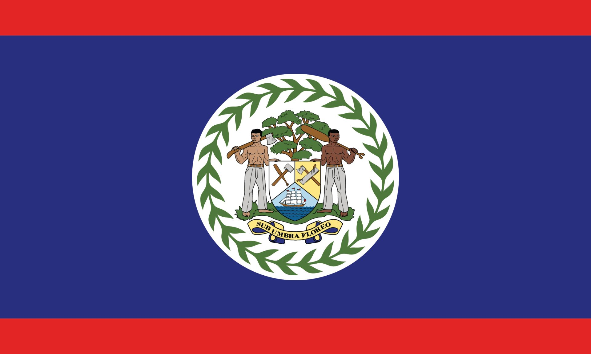 Belize
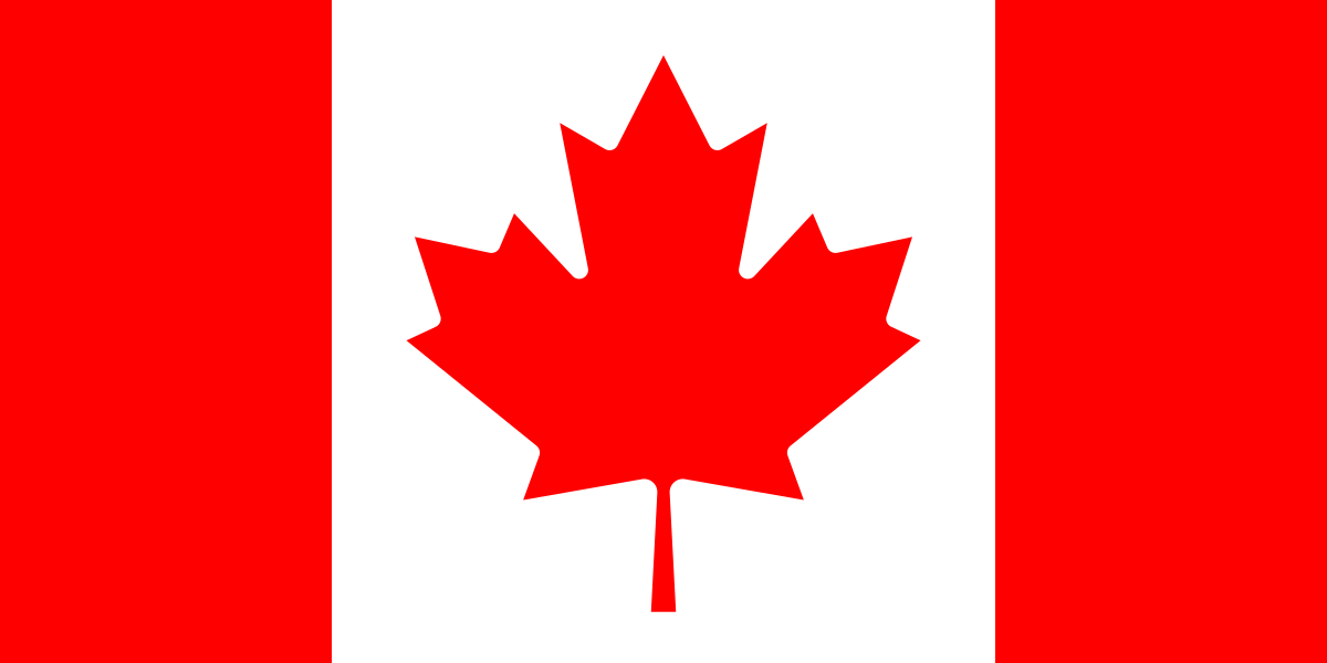 Canada
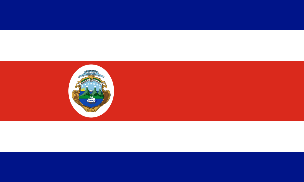 Costa Rica
What did you discover?
Sources and image credits
This English article draws on the institutional sources listed below. Figures and memberships retain their stated reference dates.
Source record: 2 November 2026. A translation does not change the reference date of a figure or membership list.
- github.com/factbook/factbook.json/blob/144d6977b2b01ac1cbd220de754c0a005616760b/central-america-n-caribbean/cu.json
- data.worldbank.org/indicator/SP.POP.TOTL
- whc.unesco.org/en/statesparties/cu/
- github.com/mledoze/countries