Barbados Flag, Capital and Country Facts
Barbados lies east of the great island arc of the Lesser Antilles. The island belongs culturally and politically to the Caribbean, but is advanced far into the Atlantic. On its flag stands a broken trident between two blue stripes. It connects the sea with the historic step towards independence.
Test your knowledge →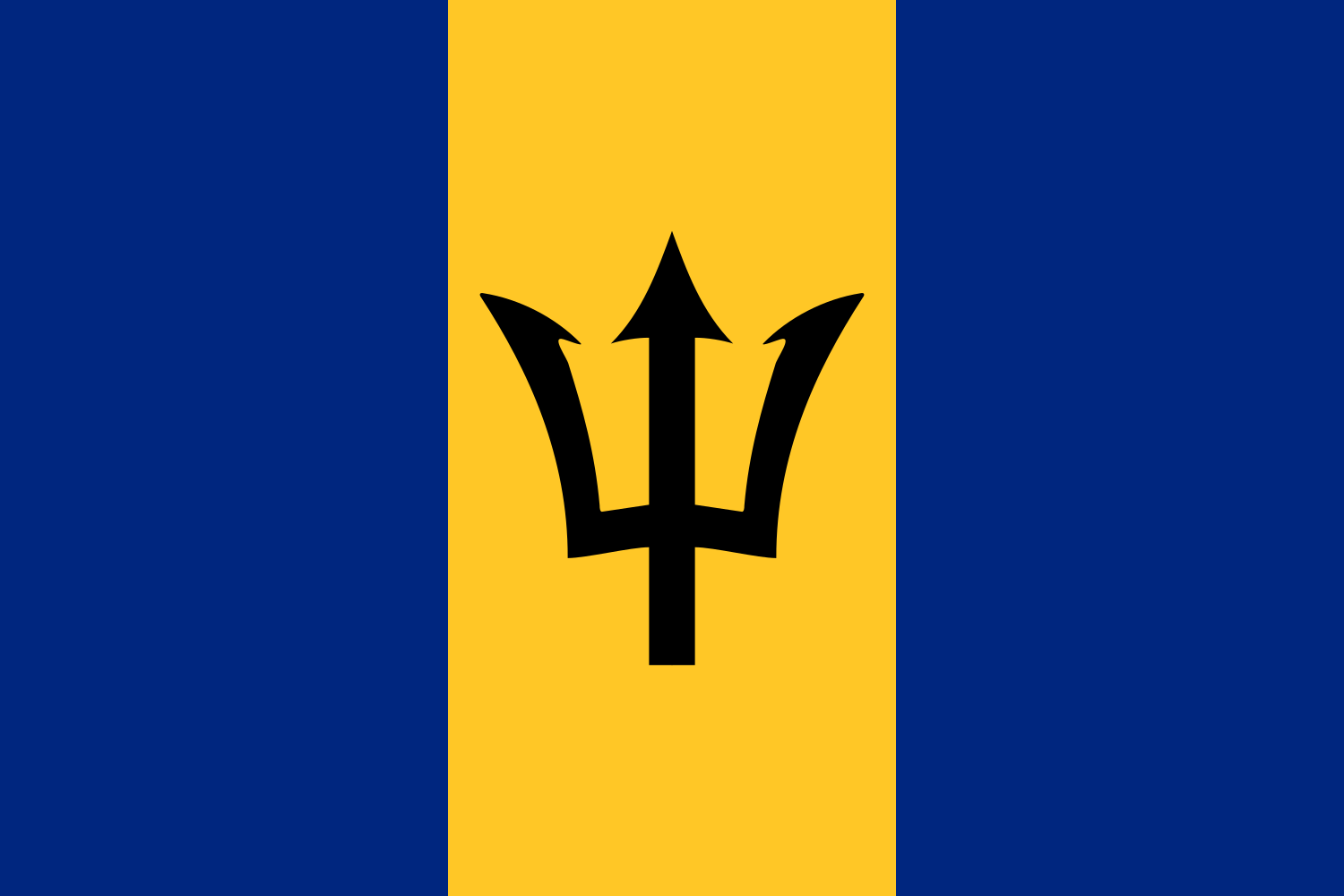
Barbados at a glance
- Capital
- Bridgetown
- Quiz continent
- North America
- Languages in reference record
- English; also distributes Bajan Creole
- Currency
- Barbados Dollar (BBD)
- Population
- 282,623 (2025, World Bank)
- Area
- 430 km²
- Coastal setting
- Not landlocked
- ISO codes
- BB / BRB
- Internet country suffix
- .bb
- Highest point
- Mount Hillaby, about 336 m
- Independence
- 30 November 1966
- World Heritage
- Historic Bridgetown and Garrison
- Historical export goods
- Sugar sugar
- Landscape
- Scotland District
- Flag signs
- Black trident head
Barbados Flag: Design, Meaning and History
The flag consists of three equally wide vertical stripes in ultramarine blue, golden yellow and ultramarine blue. In the golden middle stands a black trident head. Its three spikes are clearly recognizable, but a long stem is missing. The black sign is therefore the most important distinguishing feature compared to other blue-yellow flags.
Blue is associated with the sea and sky, gold with the beaches. The trident, separated from the stem, refers to the break with the colonial past and independence. The sign therefore does not simply belong to a general marine decoration. It is deliberately related to the history of the state and explains the unusual aborted form.
Capital: Bridgetown
Bridgetown is on the southwest coast. The capital developed as a port and commercial city and is still an important reference point for administration and business today. Its coastal position fits in with the history of an island whose connections to the outside for a long time were mainly determined by shipping and Atlantic routes.
The historic city centre and the neighboring garrison together form a UNESCO World Heritage site. This connection is illuminating: trade, port and military security belonged closely together during the British colonial period. The designation of the World Heritage Site therefore includes more than individual representative buildings or an isolated city square.
Practise this capital →Barbados: Geography, History and Culture
Barbados is low compared to many neighboring Caribbean islands and not characterized by high volcanic cones. Limestone and coral material determine large parts of the subsurface. To the east, the more structured landscape of the Scotland District differs from the flatter coastal areas. These differences explain why the island, despite its manageable size, does not have a uniform landscape. Especially on the Atlantic side, surf and coastal forms can therefore look different than on more protected western sections.
English is the official language, and Bajan is spoken as an English-based Creole everyday language. The history of language refers to colonial rule, the enslavement of African people and the emergence of its own Caribbean society. Such historical connections can be traced in language and settlement landscape without deriving uniform characteristics of all inhabitants.
Sugar cane cultivation and the production of rum have had a strong impact on economic development. The UNESCO country profile cites this industrial history as the subject of a proposed World Heritage site. However, an entry on the list of proposals is not yet recognition as a World Heritage Site. For learning, it’s worth separating this difference from actually inscribed sites like Bridgetown.
World Heritage since 2011
The historic city of Bridgetown and its garrison were inscribed in 2011. The city and the military environment are regarded as a joint ensemble.
Far east
Barbados lies east of the rest of the island’s arch. Caribbean affiliation and a situation on the open Atlantic are therefore not mutually exclusive.
A sign without a stalk
The broken trident is the central flag sign. Its form makes the political meaning visible even without writing or state coat of arms.
Explore neighbouring and related places
 Antigua & Barbuda
 Bahamas
 Belize
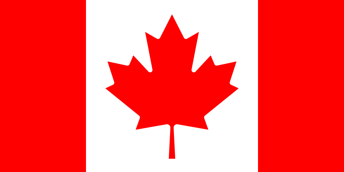 Canada
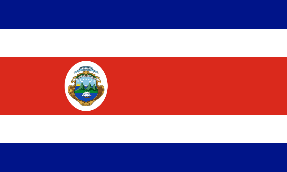 Costa Rica
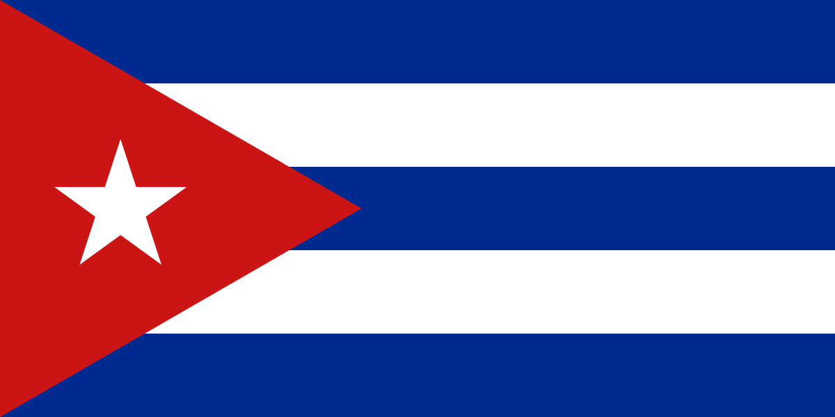 Cuba
What did you discover?
Sources and image credits
This English article draws on the institutional sources listed below. Figures and memberships retain their stated reference dates.
Source record: 2 November 2026. A translation does not change the reference date of a figure or membership list.
- github.com/factbook/factbook.json/blob/144d6977b2b01ac1cbd220de754c0a005616760b/central-america-n-caribbean/bb.json
- data.worldbank.org/indicator/SP.POP.TOTL
- whc.unesco.org/en/statesparties/bb
- github.com/mledoze/countries