Ghana Flag, Capital and Country Facts
Ghana is located on the Gulf of Guinea and extends from the Atlantic coast to West African savannahs. The flag combines pan-African colors with a black star. Accra is the capital, while Kumasi and the historic coastal fortresses open up other central chapters of history: the Asante Empire, trade and the forcible abduction of enslaved people.
Test your knowledge →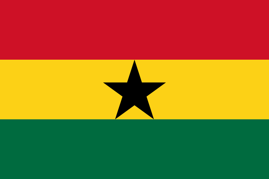
Ghana at a glance
- Capital
- Accra
- Quiz continent
- Africa
- Languages in reference record
- English (official language); among others Akan languages, Ewe, Ga and Dagbani
- Currency
- Ghanaian Cedi (GHS)
- Population
- 35,064,272 (2025, World Bank)
- Area
- 238,533 km²
- Coastal setting
- Not landlocked
- ISO codes
- GH / GHA
- Internet country suffix
- .gh
- Former name
- Gold Coast
- Independence
- 6 March 1957
- Historical centre of the Asante
- Kumasi
- Great reservoir
- Voltases
- Important dam
- Akosombo
- Flag designer
- Theodosia Okoh
Ghana Flag: Design, Meaning and History
The flag shows three equally wide horizontal stripes in red, yellow and green. In the yellow middle strip stands a black five-pointed star. The star is the key differentiator from Bolivia’s similarly colored tricolor, where a coat of arms can appear instead.
The design dates back to independence in 1957 and was designed by Theodosia Okoh. Red is reminiscent of the struggle for independence, yellow of natural resources and green of natural resources. The black star is associated with African freedom. At the same time, the colour composition places Ghana in the Pan-African symbolic tradition without equating the flag with other states.
Capital: Accra
Accra is located on the Atlantic coast in the south. The city is the political center of the country and part of a densely networked coastal area. Its location differs from Kumasi inland, the historical center of the Asante Empire. The capital alone therefore does not represent the entire pre-colonial history nor all today’s economic priorities.
The port of Tema is located east of Accra and complements the functions of the capital region. Coast, port and inland connections belong together spatially. For the historical classification, it is also worth taking a look at the various fortresses along the coast: their history concerns not only Ghana, but the violent Atlantic trade networks between Europe, Africa and America.
Practise this capital →Ghana: Geography, History and Culture
Ghana’s landscape consists mainly of low plains and more structured elevated areas. Humider areas in the south are different from the drier savannahs in the north. This gradation affects agriculture and vegetation. The Gulf of Guinea is home to important cities and transport links, while inland rivers and agricultural areas allow for other forms of economic use.
The Volta and the Voltases created by the Akosombo Dam shape a large part of the country. The lake connects issues of energy production with transport routes, fishing and changes in landscape and settlements. The country’s borders lead in the west to Ivory Coast, in the north to Burkina Faso and in the east to Togo; Ghana also has its own Atlantic access.
English is an official language, alongside numerous native languages such as Akan, Ewe, Ga and Dagbani. The current state name was adopted at independence; it refers to an older West African empire whose core area was not in present-day Ghana. The name is thus a historical reference and not an exact cartographic continuation of an identical medieval state territory.
Independence from Gold Coast
The former name Gold Coast refers to the colonial commodity and trading area. In 1957 Ghana became independent and deliberately set a different historical accent with its choice of name.
Traditional Asante buildings
UNESCO took up the traditional Asante buildings in 1980. They complement the coastal history with an important architectural heritage inland.
Fortresses as places of remembrance
The coastal fortresses became a World Heritage Site in 1979. They are, among other things, places of remembrance of enslavement and human trafficking and require a different view than purely decorative historical buildings.
Explore neighbouring and related places
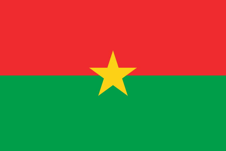 Burkina Faso
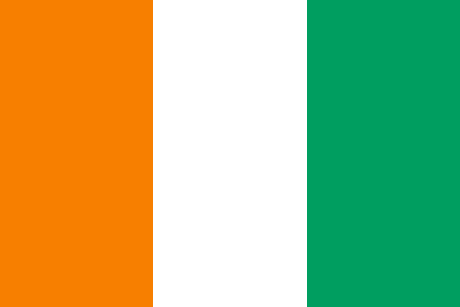 Côte d’Ivoire
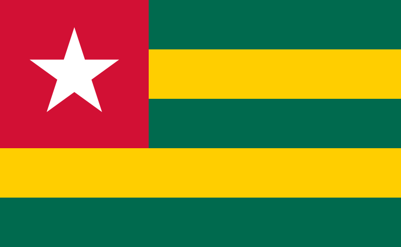 Togo
What did you discover?
Sources and image credits
This English article draws on the institutional sources listed below. Figures and memberships retain their stated reference dates.
Source record: 2 November 2026. A translation does not change the reference date of a figure or membership list.
- github.com/factbook/factbook.json/blob/144d6977b2b01ac1cbd220de754c0a005616760b/africa/gh.json
- data.worldbank.org/indicator/SP.POP.TOTL
- whc.unesco.org/en/statesparties/gh/
- github.com/mledoze/countries