Liberia Flag, Capital and Country Facts
Liberia is located on the West African Atlantic coast between Sierra Leone, Guinea and Côte d’Ivoire. The flag is deliberately reminiscent of the United States, but has eleven stripes and only one star. The history of the country connects the settlement of formerly enslaved people from America with the much older societies of the region and their own political traditions.
Test your knowledge →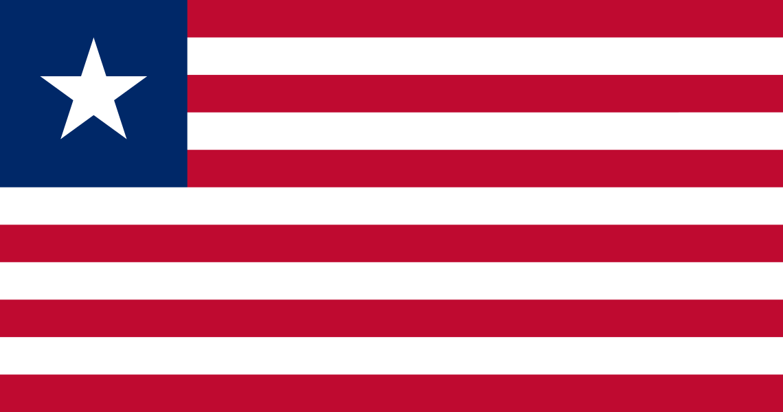
Liberia at a glance
- Capital
- Monrovia
- Quiz continent
- Africa
- Languages in reference record
- English; numerous other national languages
- Currency
- Liberian dollar (LRD)
- Population
- 5,731,206 (2025, World Bank)
- Area
- 111,369 km²
- Coastal setting
- Not landlocked
- ISO codes
- LR / LBR
- Internet country suffix
- .lr
- Independence
- 26 July 1847
- Highest mountain
- Mount Wuteve, 1,447 m
- Historical settlement site
- Providence Island
- Northeastern mountains
- Nimba
- Flag stripes
- Eleven
- Large river near Monrovia
- Saint Paul River
Liberia Flag: Design, Meaning and History
Eleven horizontal stripes of equal width alternate between red and white. In the upper left corner stands a white five-pointed star on a blue square field. The similarity to the US flag is clear, but the number of stripes and the individual star allow a safe distinction. There is no larger group of stars.
The eleven stripes commemorate the signatories of the Declaration of Independence. The star is associated with the freedom of formerly enslaved people. The conscious allegiance to the USA is explained by the history of the settlement in the 19th century. It does not imply Liberia's current membership of the United States; Liberia is an independent African state.
Capital: Monrovia
Monrovia is located on the Atlantic Ocean near the mouth of the Saint Paul River. The coastal location was important for the arrival of settler groups and maritime trade. As the capital, the city concentrates administration and services. This coastal orientation differs from the forest and mountain regions of the northeastern hinterland.
The name honors the then US President James Monroe, who supported the colonization project. Such a designation refers to the perspective of the founders and is not a neutral summary of the history of all local communities. The relationship between immigrant Ameriko-Liberians and indigenous populations later shaped the political and social development of the country.
Practise this capital →Liberia: Geography, History and Culture
From lagoons, mangroves and sandy coasts, the terrain rises to hill countries and mountains inside. Tropical rainforest is one of the most formative ecosystems. On the border with Guinea lies the Nimba region, whose natural values extend beyond national borders. The landscape is thus at the same time Atlantic-oriented and part of the West African forest belt. The coastal plain and the higher hinterland are thus clearly divided differently.
English serves as an official language, numerous African languages are spoken alongside it. The common administrative language does not fully reflect this diversity. Especially the history of the founding of the state requires a double look: on the experiences of liberated people from America and on the political rights of communities already living in the area.
The Declaration of Independence dates from July 26, 1847. Civil wars of the late 20th and early 21st centuries caused serious damage and displacement. The factbook archive stand of 2025 mentions, among other things, mining and agriculture as economic sectors. Statements about reconstruction or current development require their own temporal references and cannot be derived solely from the long formal independence.
Providence Island
Providence Island is on Liberia’s UNESCO list of proposals. The island is associated with early settlement history; a proposal list entry is not yet a World Heritage status.
Gola rainforest
The Gola Rainforest National Park is also earmarked for a possible world heritage. He points to the importance of West African forest habitats.
Nimba
Liberia has an extension of the strict Nimba reserve on its list of proposals. The neighbouring registered World Heritage site is located in Guinea and Côte d’Ivoire.
Explore neighbouring and related places
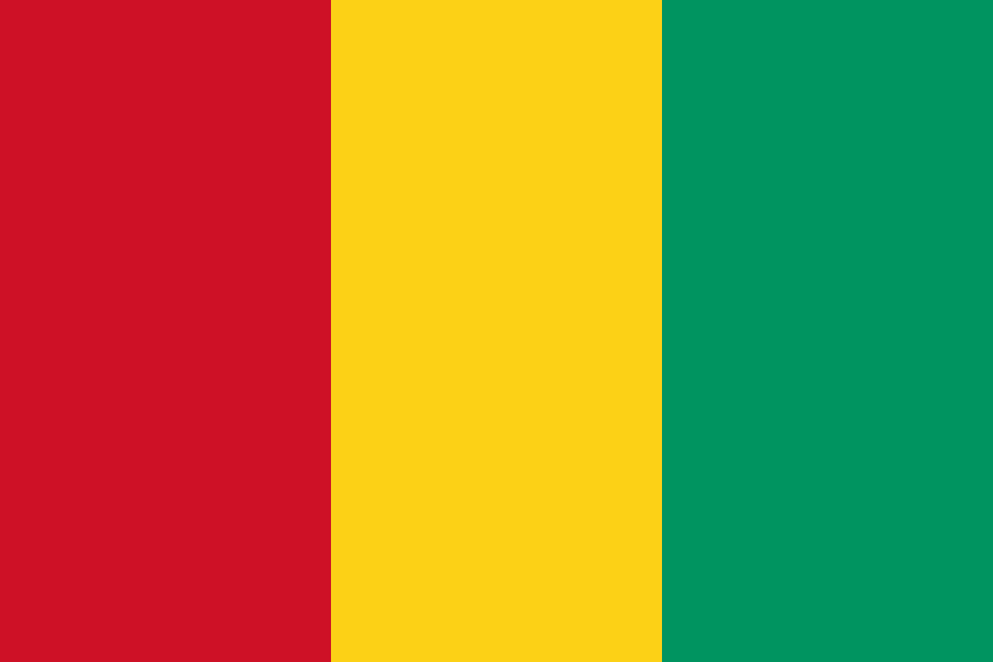 Guinea
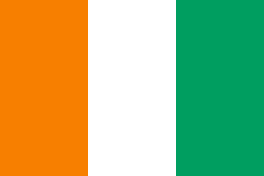 Côte d’Ivoire
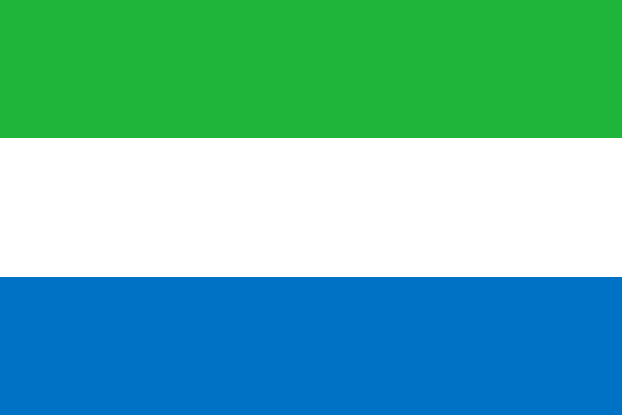 Sierra Leone
What did you discover?
Sources and image credits
This English article draws on the institutional sources listed below. Figures and memberships retain their stated reference dates.
Source record: 2 November 2026. A translation does not change the reference date of a figure or membership list.
- github.com/factbook/factbook.json/blob/144d6977b2b01ac1cbd220de754c0a005616760b/africa/li.json
- data.worldbank.org/indicator/SP.POP.TOTL
- whc.unesco.org/en/statesparties/lr
- github.com/mledoze/countries