Afghanistan Flag, Capital and Country Facts
Afghanistan connects the Iranian highlands with the mountain and steppe regions of Central Asia. The Hindu Kush characterizes traffic routes, climate and settlements; Kabul itself is located in a high valley. The black-red-green flag shown here needs a historical clue: it belongs to the former republic and does not correspond to the white banner used by the Taliban.
Test your knowledge →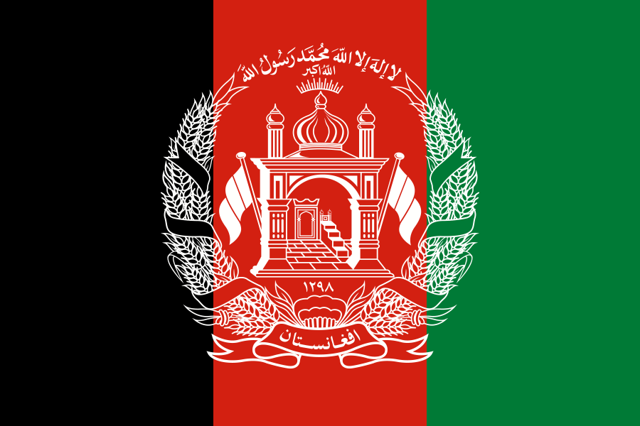
Afghanistan at a glance
- Capital
- Kabul
- Quiz continent
- Asia
- Languages in reference record
- Dari and Pashto; also, among others, Uzbek and Turkmen
- Currency
- Afghani (AFN)
- Population
- 43,844,111 (2025, World Bank)
- Area
- 652,230 km²
- Coastal setting
- Landlocked
- ISO codes
- AF / AFG
- Internet country suffix
- .af
- Highest point
- Noshak, 7,492 m (Factbook Archive 2025)
- Mountains
- Hindu Kush
- Northern Border River
- Amudarja
- World Heritage
- Bamiyan Valley, since 2003
- Further World Heritage
- Minaret of Jam, since 2002
- Card characteristics
- Northeast Guard Corridor
Afghanistan Flag: Design, Meaning and History
This quiz shows the black, red and green Afghan tricolour, a historical variant rather than the flag used by the current de facto authorities.
The quiz shows three vertical stripes in black, red and green. In the middle is a white coat of arms with a mosque, ears and characters. Decisive for recognition are the vertical arrangement and the bright, detailed emblem that projects into the red stripe.
This tricolor marks the republic before the Taliban takeover in 2021. Since then, the Taliban have used a white banner with a black creed. The presentation in the quiz is therefore consciously historical; from it no statement can be derived about the current actual rule or international recognition.
Capital: Kabul
Kabul is located on the river of the same name in the east of the country. The city is surrounded by mountains and forms a junction between different high valleys. Unlike a port metropolis, its exchange with neighbouring regions depends mainly on roads and mountain passes; winter conditions can make such connections more difficult.
As a political and economic center, Kabul has a far greater importance than its location on a simple map suggests. Bagh-e Babur Garden is part of the city’s historical heritage and is on Afghanistan’s UNESCO list of proposals. One proposal is not yet included in the World Heritage List.
Practise this capital →Afghanistan: Geography, History and Culture
The Hindu Kush runs through large parts of Afghanistan. In the northeast, the Noshak reaches 7,492 meters according to the Factbook archive. In the north, on the other hand, there are plains on Amudarja, in the southwest drier basins and desert spaces. Large differences in elevation on comparatively short distances explain the pronounced regional differences in water availability, cultivation and accessibility.
Afghanistan has no access to the sea. It borders Iran, Pakistan, Turkmenistan, Uzbekistan, Tajikistan and also China via the narrow Wachan Corridor. This eastern tip is a particularly good map feature: it connects the country with High Asia, although most of the larger settlement spaces are considerably further west. The Amudarja forms part of an international border.
Dari and Pashto are particularly important languages; other communities speak Uzbek, Turkmen or Nuristan languages. Multilingualism cannot be meaningfully replaced by a single cultural template. The historical sites of Bamiyan and Jam also show that the area has linked different religious and artistic traditions for centuries.
Bamiyan valley
The cultural landscape and archaeological remains of the Bamiyan Valley became a UNESCO World Heritage site in 2003. The site commemorates the Buddhist history of a region that today is often associated exclusively with recent conflicts.
Minaret of Jam
The minaret and the archaeological remains of Jam have been on the World Heritage List since 2002. They complement Bamiyan with an important testimony of Islamic architecture.
Narrow guard corridor
The long strip of land in the northeast ends at China. On the map, it clearly distinguishes Afghanistan from a compact landlocked state and makes the neighbourhood to several high mountain regions visible.
Explore neighbouring and related places
 Iran
 Pakistan
 Turkmenistan
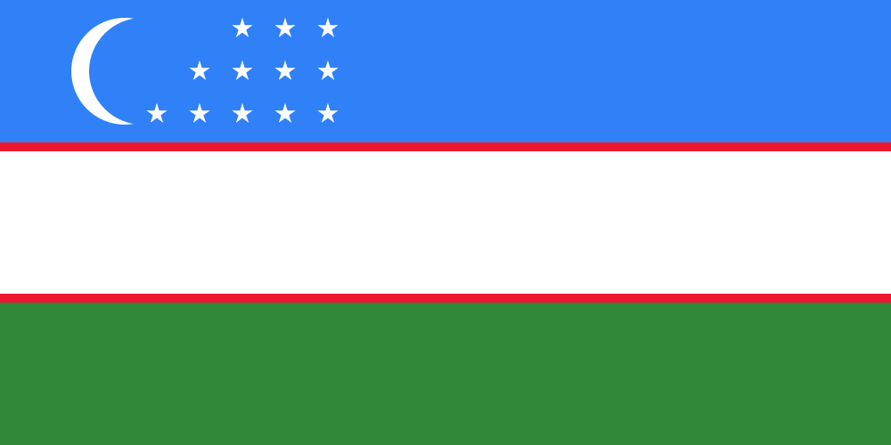 Uzbekistan
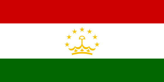 Tajikistan
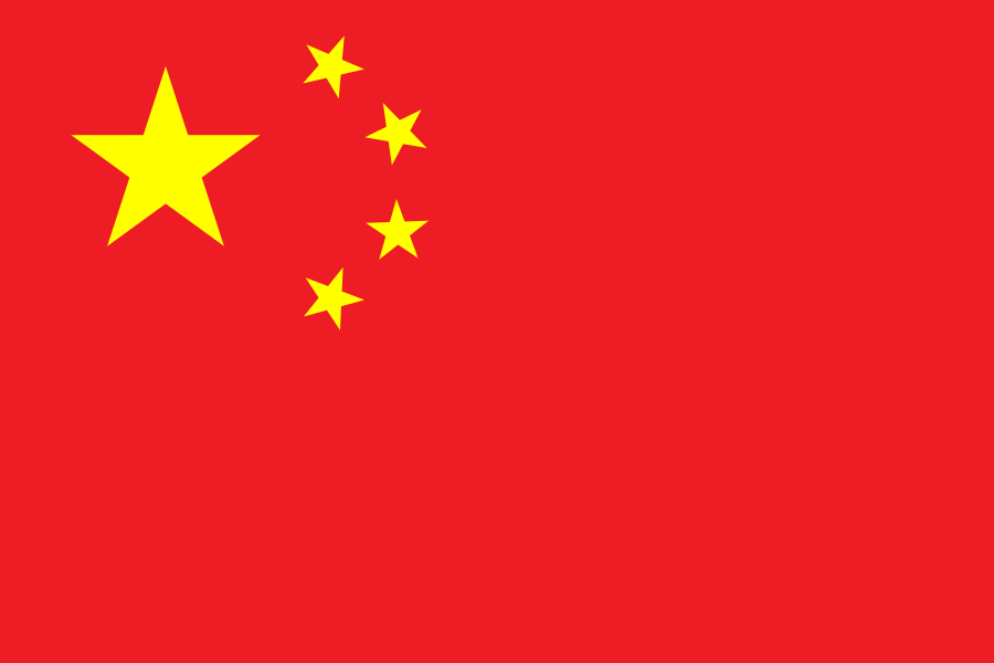 China
What did you discover?
Sources and image credits
This English article draws on the institutional sources listed below. Figures and memberships retain their stated reference dates.
Source record: 2 November 2026. A translation does not change the reference date of a figure or membership list.
- github.com/factbook/factbook.json/blob/144d6977b2b01ac1cbd220de754c0a005616760b/south-asia/af.json
- data.worldbank.org/indicator/SP.POP.TOTL
- whc.unesco.org/en/statesparties/af/
- github.com/mledoze/countries