Uzbekistan Flag, Capital and Country Facts
Uzbekistan is located in Central Asia and connects dry basin landscapes with irrigated oases and mountain edges. The capital is called Tashkent in Quiz, in German also Tashkent and in Uzbek Toshkent. Samarkand and Bukhara are reminiscent of extensive trade and cultural connections. The double internal situation is particularly unusual: all immediate neighbouring states do not have open ocean access either.
Test your knowledge →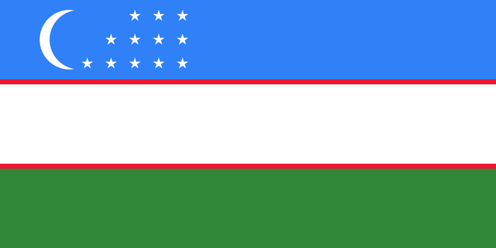
Uzbekistan at a glance
- Capital
- Tashkent
- Quiz continent
- Asia
- Languages in reference record
- Uzbek; Karakalpak in Karakalpakstan, Russian and other languages
- Currency
- Uzbek Soʻm (UZS)
- Population
- 37,053,428 (2025, World Bank)
- Area
- 447,400 km²
- Coastal setting
- Landlocked
- ISO codes
- UZ / UZB
- Internet country suffix
- .uz
- Independence Day
- 1 September
- Independence Year
- 1991
- Greater desert
- Cysyl kum
- Important rivers
- Amudarja and Syrdarja
- Historic oasis city
- Samarkand
- Eastern valley
- Ferganate valley
Uzbekistan Flag: Design, Meaning and History
The flag has three horizontal main stripes in blue, white and green. Narrow red lines separate the white stripe from the other two. To the left of the blue field stand a white crescent and twelve white stars. The stars are arranged in several rows and are not shown as a closed ring.
The design was introduced in 1991 after independence. Blue is associated with sky and historical Turkic-speaking traditions, white with peace and green with nature; the red lines are considered to be signs of vitality. On the crescent and twelve stars there are cultural and calendrical interpretations. These signs should not be read prematurely as the exact number of today's administrative units.
Capital: Tashkent
Tashkent is located in the northeast of the country near the border with Kazakhstan. The city is a political centre and an important transport hub. Its location is one of the more watered and populated areas on the edge of the mountains, not the open center of the large western desert areas.
A severe earthquake of 1966 shaped the later reconstruction and the cityscape. Tashkent thus differs from the well-known historical ensembles of Samarkand and Bukhara. Whoever equates the name of the most famous Silk Road city with the capital would confuse two different functions: historical cultural centers and today's political center.
Practise this capital →Uzbekistan: Geography, History and Culture
Large parts of the country are dry; the Kysylkum forms a vast desert space. Amudarja, Syrdarja and other rivers enable irrigated agriculture in valleys and oases. The Ferganate valley in the east has a particularly intensive use and complex border conditions. Waterways and mountain margins therefore structure the space more strongly than the impression of a uniformly flat Central Asian plane suggests. The two large streams are also part of cross-border water systems.
Uzbek is one of the Turkic languages. Historical cities were also characterized by Persian-speaking and other cultural influences. UNESCO describes Samarkand as a crossroads of cultures in an oasis on Serafshan. This story explains why languages, designs and religious traditions are not neatly distributed along today’s state borders.
Uzbekistan shares the double internal situation only with Liechtenstein: On land to the open sea, a state border must be crossed at least twice. Another cross-border issue is the Aral Sea, whose shrinkage is closely related to water extraction from its tributaries. This shows the difference between national borders and river systems, the use of which can have effects over long distances.
Samarkand as a crossing point
The historic city has been a UNESCO World Heritage site since 2001. Its oasis location connects important monuments with ancient trans-regional paths.
Twice without sea access
Not only Uzbekistan itself, but also all its immediate neighbours are landlocked states. This special location has otherwise only Liechtenstein.
Water characterizes the desert
Watered valleys are important settlement spaces in a dry country. The development of the Aral Sea makes visible consequences of large-scale water extraction.
Explore neighbouring and related places
 Afghanistan
 Kazakhstan
 Kyrgyzstan
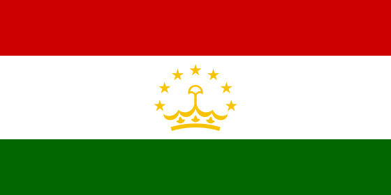 Tajikistan
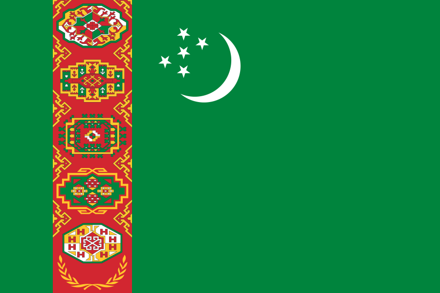 Turkmenistan
What did you discover?
Sources and image credits
This English article draws on the institutional sources listed below. Figures and memberships retain their stated reference dates.
Source record: 2 November 2026. A translation does not change the reference date of a figure or membership list.
- github.com/factbook/factbook.json/blob/144d6977b2b01ac1cbd220de754c0a005616760b/central-asia/uz.json
- data.worldbank.org/indicator/SP.POP.TOTL
- whc.unesco.org/en/list/603
- github.com/mledoze/countries