Kazakhstan Flag, Capital and Country Facts
Kazakhstan extends from the Caspian Valley over wide steppes to the high mountains of Central Asia. It is a landlocked country of continental proportions. The sky blue flag combines sun, eagle and a traditional ornament. Astana is located in the northern steppe; Almaty preserves another urban and scenic imprint on the mountain rim.
Test your knowledge →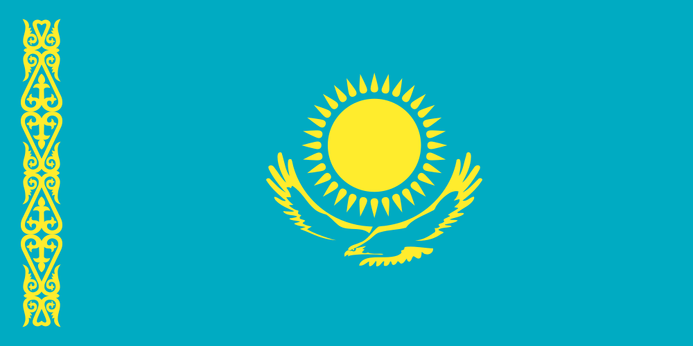
Kazakhstan at a glance
- Capital
- Astana
- Quiz continent
- Asia
- Languages in reference record
- Kazakh; Russian with important official function
- Currency
- Tenge (KZT)
- Population
- 20,843,754 (2025, World Bank)
- Area
- 2,724,900 km²
- Coastal setting
- Landlocked
- ISO codes
- KZ / KAZ
- Internet country suffix
- .kz, .қаз
- Independence
- 16 December 1991
- Capital transfer
- 1997 from Almaty to Astana
- The River of the Capital
- Esil/Ischim
- Great inland lake
- Caspian Sea
- Mountains in the south-east
- Tian Shan
- Historic Spaceport
- Baikonur
Kazakhstan Flag: Design, Meaning and History
A sky blue field carries a golden sun with 32 rays and underneath it an outstretched golden steppe eagle. A vertical golden ornament strip runs on the rod side. The ribbon is not an additional strip of color as in a tricolor, but a repeated pattern. Eagle and sun lie as a common main group in the area.
Blue is associated with heaven and unity; the sun stands for prosperity and life, the eagle for freedom and future. The lateral pattern picks up on traditional ornamentation, often described as an Arieshorn motif. The flag emerged after independence from the Soviet Union and was adopted in 1992. Their design deliberately sets different signs than the earlier Soviet symbolism.
Capital: Astana
Astana is located on the river Esil or Ischim in the northern steppe. The capital function was moved here by Almaty in 1997. The site is known for strong seasonal temperature fluctuations. Monumental new buildings and widely planned traffic axes are closely related to the expansion of a new capital and differ from the older urban fabric of Almaty.
The city was temporarily named Nur-Sultan and has been called Astana again since 2022. Therefore, in maps and older texts, different names for the same place meet. Almaty remained an important economic and cultural center after the relocation of the capital. The distinction between political headquarters and the greatest urban tradition explains many seemingly contradictory statements.
Practise this capital →Kazakhstan: Geography, History and Culture
The steppes in the north go south and west into semi-deserts and deserts. In the southeast are high mountains of Tian Shan. The Caspian Sea does not have a natural drain to the ocean; despite the long Caspian coast, Kazakhstan is therefore a landlocked country. The name sea does not automatically describe an open ocean access here. Syrdarja also connects Kazakhstan with several Central Asian neighbors. As with the Caspian Sea, its catchment area shows that water issues are shaped by natural spaces that do not end at political borders.
Kazakh is one of the Turkic languages; Russian is also important in public life. The language landscape is related to nomadic history, Russian and Soviet rule and later migration movements. Traditional mobile ways of life are a historical context, not a comprehensive description of a population that is strongly urbanized today.
Petroleum, gas and mineral raw materials play a major economic role in the factbook archive stand of 2025. In addition, UNESCO sites show other basics: Saryarka connects steppes and lakes, Tanbaly preserves rock paintings, and Silk Road towns document ancient trade networks. The wide steppe was thus not only a space of separation, but also a space of connection between settlements and cultures.
Saryarka
Steppes and lakes of North Kazakhstan are part of the UNESCO World Heritage Site. The entry shows the ecological importance of open landscapes next to the better known mountain regions.
Tanbaly
The archaeological landscape of Tanbaly is a World Heritage Site because of its rock paintings. It preserves older image worlds in today's territory.
Yasawi Mausoleum
The mausoleum of Khoja Ahmed Yasawi is on the World Heritage List. It refers to religious and urban connections in southern Central Asia.
Explore neighbouring and related places
 China
 Kyrgyzstan
 Russia
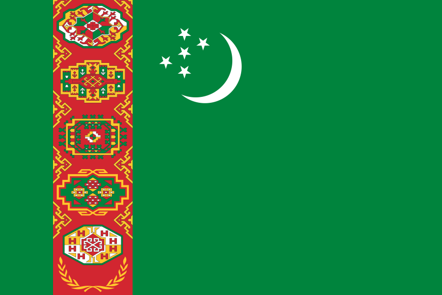 Turkmenistan
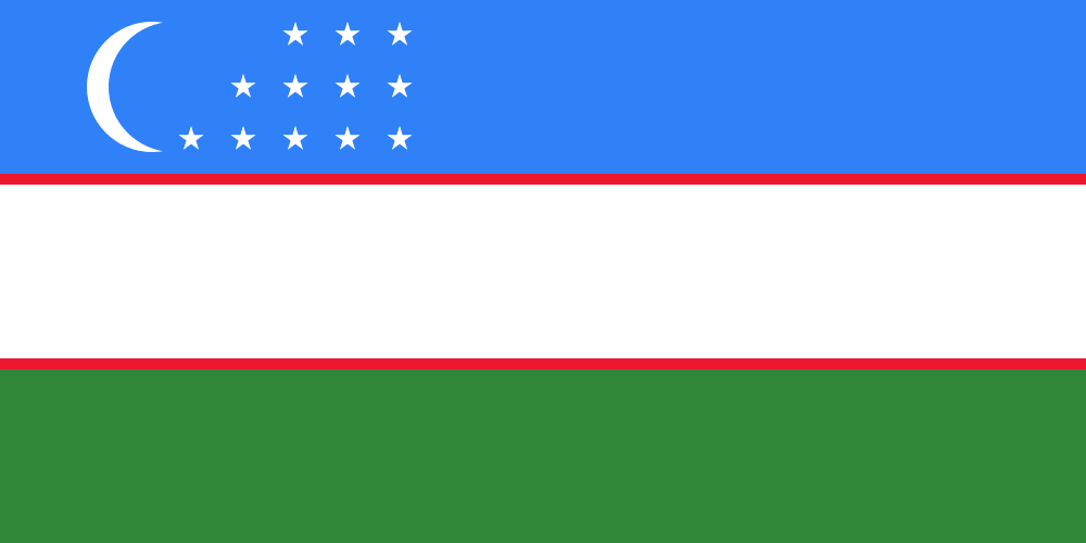 Uzbekistan
What did you discover?
Sources and image credits
This English article draws on the institutional sources listed below. Figures and memberships retain their stated reference dates.
Source record: 2 November 2026. A translation does not change the reference date of a figure or membership list.
- github.com/factbook/factbook.json/blob/144d6977b2b01ac1cbd220de754c0a005616760b/central-asia/kz.json
- data.worldbank.org/indicator/SP.POP.TOTL
- whc.unesco.org/en/statesparties/kz
- old.adilet.zan.kz/rus/docs/U2200001017
- github.com/mledoze/countries