Senegal Flag, Capital and Country Facts
Senegal lies on the western edge of the African mainland. The capital Dakar is located on the Cap Vert peninsula on the Atlantic Ocean. River valleys, drier inland and the southern Casamance form different spaces. The relationship with the Gambia is particularly striking: The narrow neighboring state pushes along its river far into Senegalese territory.
Test your knowledge →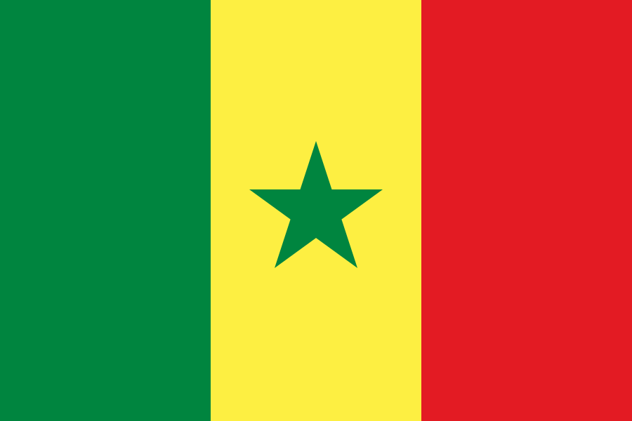
Senegal at a glance
- Capital
- Dakar
- Quiz continent
- Africa
- Languages in reference record
- French as an official language; among others Wolof, Pulaar, Serer and Diola
- Currency
- CFA-franc BCEAO (XOF)
- Population
- 18,931,966 (2025, World Bank)
- Area
- 196,722 km²
- Coastal setting
- Not landlocked
- ISO codes
- SN / SEN
- Internet country suffix
- .sn
- National holiday
- 4 April
- Independence Year
- 1960
- Peninsula of the capital
- Cape Vert
- Southern part
- Casamance
- Northern Border River
- Senegal
- Historical Island
- Gorée
Senegal Flag: Design, Meaning and History
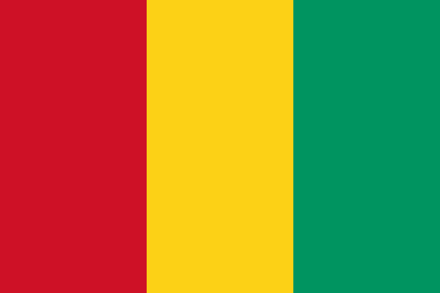
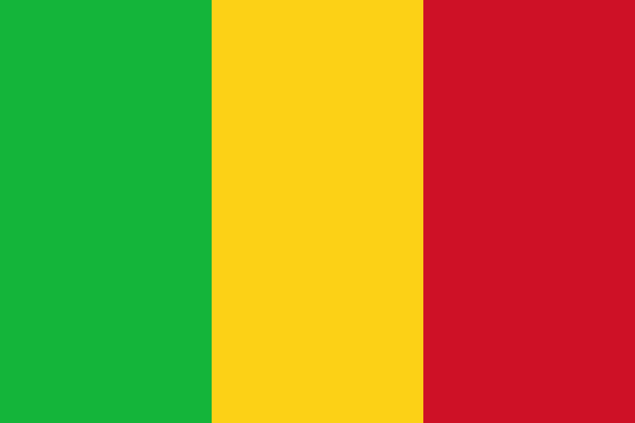
The flag has three equally wide vertical stripes in green, yellow and red. In the middle of the yellow stripe stands a green five-pointed star. The color sequence corresponds to the flag of Mali, but the star is missing there. To Guinea, the direction is reversed, because its stripes start at the mast with red.
Green, yellow and red are part of the Pan-African color tradition. The Factbook archive combines them with hope, natural riches and the commitment to independence. The star is declared as a sign of unity and hope. The design was given its independent national function in 1960 after the end of the short-lived Mali Federation.
Capital: Dakar
Dakar is located at the top of a peninsula on the Atlantic Ocean. The capital connects political administration, port and international transport routes. Its location is particularly clear for the western extension of the African mainland. The archipelago of Cape Verde, on the other hand, lies far off the coast and belongs to another state.
The island of Gorée in front of Dakar has a special historical significance. UNESCO has been leading it since 1978 as a World Heritage Site and a memorial to the Atlantic slave trade. It is part of a larger historical context on the West African coast. The memory of enslaved people should not be reduced to the idea that all transports took place in this one place.
Practise this capital →Senegal: Geography, History and Culture
Senegal is predominantly low and rises to higher terrain in the southeast. The Senegal River forms important border sections in the north, while the Casamance in the south has its own river and landscape area. There are clear differences between drier northern and wetter southern areas. The map explains these transitions better when rivers and neighboring states are considered.
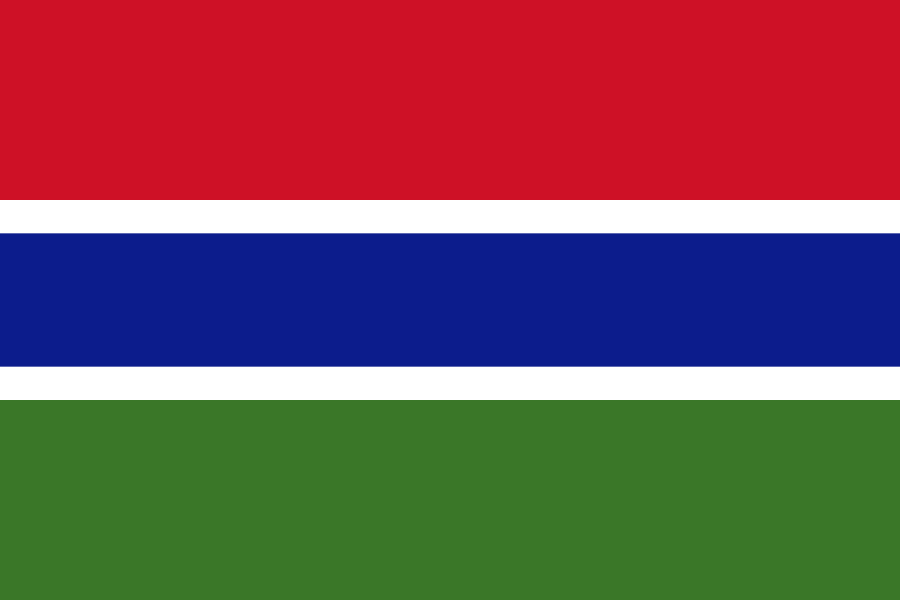
The Gambia lies almost entirely within the outer contours of Senegal, but has its own Atlantic coast. As a result, the Casamance is partially separated from the northern main part of Senegal by another state. Traffic routes can pass through the Gambia or around its eastern end. This connection makes political geography in everyday life more important than a simple border line suggests.
French is an official language, Wolof and other African languages shape everyday life. Independence from France in 1960 was linked to the Mali Federation, which disintegrated in the same year. April 4 is the national holiday. Historic cities such as Saint-Louis, river landscapes and cultural traditions complement the capital’s image and show that Senegal consists of several regional centers.
Gorée as a place of remembrance
The island off Dakar has been a UNESCO World Heritage Site since 1978. Its historical value also lies in the confrontation with the slave trade and its human consequences.
The Gambia changes the map
The narrow neighbouring country lies along a river. Its shape influences transport links between northern Senegal and Casamance.
Star as a distinguishing feature
The green-yellow-red stripes alone would be confused with Mali. The green star in the yellow field makes Senegal’s flag clear.
Explore neighbouring and related places
 Gambia
 Guinea
 Guinea-Bissau
 Mali
 Mauritania
What did you discover?
Sources and image credits
This English article draws on the institutional sources listed below. Figures and memberships retain their stated reference dates.
Source record: 2 November 2026. A translation does not change the reference date of a figure or membership list.
- github.com/factbook/factbook.json/blob/144d6977b2b01ac1cbd220de754c0a005616760b/africa/sg.json
- data.worldbank.org/indicator/SP.POP.TOTL
- whc.unesco.org/en/list/26/
- github.com/mledoze/countries