Guinea-Bissau Flag, Capital and Country Facts
Guinea-Bissau is located on the West African Atlantic coast between Senegal and Guinea. Estuaries, mangroves and the upstream Bijagós archipelago characterise the country more than high mountains. The addition Bissau distinguishes the state from neighboring Guinea and at the same time names the capital. The flag combines pan-African colors with a black star in the red mast field.
Test your knowledge →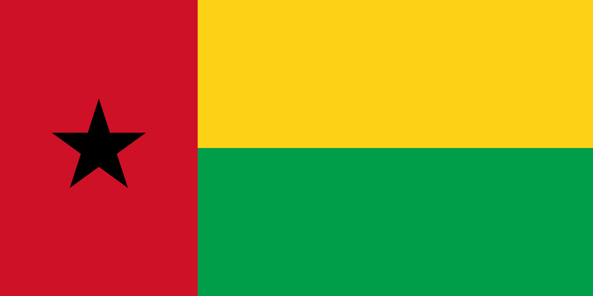
Guinea-Bissau at a glance
- Capital
- Bissau
- Quiz continent
- Africa
- Languages in reference record
- Portuguese (official language), Guinea-Bissau Creole and, among others, Balanta, Fula and Mandinka
- Currency
- CFA-franc BCEAO (XOF)
- Population
- 2,249,515 (2025, World Bank)
- Area
- 36,125 km²
- Coastal setting
- Not landlocked
- ISO codes
- GW / GNB
- Internet country suffix
- .gw
- Highest point
- Dongol Ronde, 277 m (archive 2025)
- Capital river
- Geba
- Island group
- Bijagós archipelago
- Land neighbours
- Senegal and Guinea
- Colonial language
- Portuguese
- World Heritage since 2025
- Omatí Minhône
Guinea-Bissau Flag: Design, Meaning and History
On the left is a vertical red stripe with a black five-pointed star. To the right of it are two horizontal fields of equal height: yellow above and green below. The mixture of vertical and horizontal division distinguishes the flag from the many pure tricolors in West Africa.
The colors are in the Pan-African tradition. Red is associated with the struggle for independence, yellow with the sun and green with hope; the black star points to African unity. The proximity to Ghana’s colours and star motif is historically based. However, the star is here in the red mast field, not in a yellow middle stripe.
Capital: Bissau
Bissau is located at the mouth of the Geba and is the political and economic center of the country. The proximity to the Atlantic Ocean explains its port function. When looking at the map, the city should therefore be understood as part of a coastal landscape characterized by river arms and tides, not as an isolated point on a straight coastline.
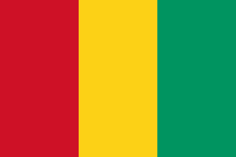
The name Guinea-Bissau prevents confusion with Guinea, whose capital is Conakry. Equatorial Guinea is also a separate state in another region of Africa. The similar designation is therefore not an indication of a common capital or directly contiguous territories. The specific addition Bissau is particularly useful for geographic learning.
Practise this capital →Guinea-Bissau: Geography, History and Culture
Large coastal plains are only a little above sea level. Numerous estuaries reach deep into the country, while savanna-like landscapes join in the east. In the Factbook archive, Dongol Ronde is named as the highest point with 277 meters. Compared to the mountainous countries in the interior of West Africa, the relief remains low overall.
The Bijagós archipelago is located off the coast and consists of numerous islands and smaller islands. Its coastal and marine ecosystems were included in the UNESCO World Heritage List in 2025 under the name Omatí Minhô. The island world extends the geography of the country by large-scale marine habitats and makes it clear that state borders on the mainland describe only a part of the natural space.
Portuguese is an official language and refers to colonial history. Guinea-Bissau Creole, on the other hand, serves many people as a common language in everyday life; other communities speak Balanta, Fula or Mandinka, for example. The official language alone therefore describes the actual linguistic diversity only insufficiently. After independence, the state developed separately from neighboring formerly French-dominated countries.
Omatí Minhône
The coastal and marine ecosystems of the Bijagós Islands became World Heritage sites in 2025. This young entry complements the so far often concentrated on the colonial history of the country around its natural space.
Geba and other estuaries
Rivers and tides form a strongly structured coastline. Mangroves and estuaries are therefore not a marginal phenomenon, but an essential part of the countryside.
Two direct neighbors
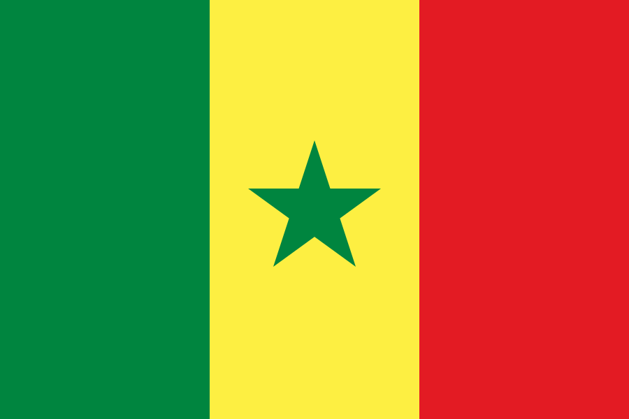
Senegal lies in the north, Guinea in the east and south. This simple neighborhood helps distinguish Guinea-Bissau from Equatorial Guinea, which is considerably further southeast.
Explore neighbouring and related places
 Guinea
 Senegal
What did you discover?
Sources and image credits
This English article draws on the institutional sources listed below. Figures and memberships retain their stated reference dates.
Source record: 2 November 2026. A translation does not change the reference date of a figure or membership list.
- github.com/factbook/factbook.json/blob/144d6977b2b01ac1cbd220de754c0a005616760b/africa/pu.json
- data.worldbank.org/indicator/SP.POP.TOTL
- whc.unesco.org/en/statesparties/gw/
- github.com/mledoze/countries