India Flag, Capital and Country Facts
India occupies a large part of the South Asian subcontinent. From the Himalayas to tropical coasts, from arid landscapes to large river plains, its geographical diversity extends. The flag shows three transverse stripes and a blue wheel. This wheel is a particularly helpful feature in distinguishing India from similarly colored flags.
Test your knowledge →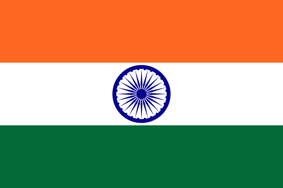
India at a glance
- Capital
- New Delhi
- Quiz continent
- Asia
- Languages in reference record
- Hindi and English at Union level; numerous other constitutionally recognised languages
- Currency
- Indian Rupee (INR)
- Population
- 1,463,865,525 (2025, World Bank)
- Area
- 3,287,590 km²
- Coastal setting
- Not landlocked
- ISO codes
- IN / IND
- Internet country suffix
- .in
- Large river
- Ganges/Ganga
- Mountain system
- Himalayas
- Highland
- Dekkan
- Independence
- 15 August 1947
- Flag wheel
- Ashoka chakra with 24 spokes
- City of the Taj Mahal
- Agricultural
India Flag: Design, Meaning and History
At the top is safranorange, in the middle white and below green. In the white stripe lies a dark blue wheel with 24 spokes, the Ashoka chakra. The three stripes are the same width. Unlike Niger, the sign in the middle is not a filled orange circle. Numerous fine spokes and the blue color make the difference clear.
The colors are associated with courage and renunciation, truth and peace as well as growth. The wheel connects to the symbolic world of the Ashoka period and stands for movement and an orderly way of life. The current flag belongs to the independence of 1947. Its elements should therefore be historically explained and not lump-sumed at certain religious communities.
Capital: New Delhi
New Delhi forms the capital area within the larger urban area of Delhi. It is the seat of important national institutions. The names Delhi and New Delhi are often used side by side in everyday life, but do not denote exactly the same spatial scope. In the quiz, the capital is therefore New Delhi and not Mumbai, the big economic metropolis on the west coast.
The capital region has cultural heritage from different times. Humayun’s tomb and the Qutb Minar complex are on UNESCO’s list. They are much older than the planned administrative districts of New Delhi. This comparison helps to understand the historical depth of the metropolis: a modern capital function emerged within a space with many earlier settlement and dominion layers.
Practise this capital →India: Geography, History and Culture
To the north are high mountains and the great plains of Ganges and other streams. Further south, the Dekkanhochland characterizes large parts of the peninsula; the west and east coast each have their own landscapes. The monsoon determines the seasonal precipitation rhythm of many regions. This is why the dry season, rainy season and regional altitudes are more meaningful for the climate than the blanket designation tropical.
India is linguistically and religiously diverse. Hindi and English fulfil functions at Union level, while many States have other important official languages. Tamil, Bengali, Telugu and many other languages are part of the reality of life in the country. Using a single language name as a complete description of India would obscure this federal and cultural diversity.
The UNESCO heritage ranges from Buddhist sites to Hindu temples to Islamic tombs, historic cities and natural areas. The Taj Mahal is in Agra and not New Delhi. The Sundarbans in the east, on the other hand, are a mangrove room that extends across the border into Bangladesh. Architecture and natural habitats thus tell very different stories of the same country.
A wheel with 24 spokes
The Ashoka chakra is the center of the Indian flag. It distinguishes the motif particularly clearly from the flag of Niger.
Taj Mahal in Agra
The famous tomb stands in Agra. The location is a useful reminder not to automatically equate the capital and most famous attraction.
Diversity of World Heritage
India’s UNESCO list includes cultural and natural sites. Historical temples, cities and protected landscapes form different regional focal points.
Explore neighbouring and related places
 Bangladesh
 Bhutan
 Myanmar (Burma)
 China
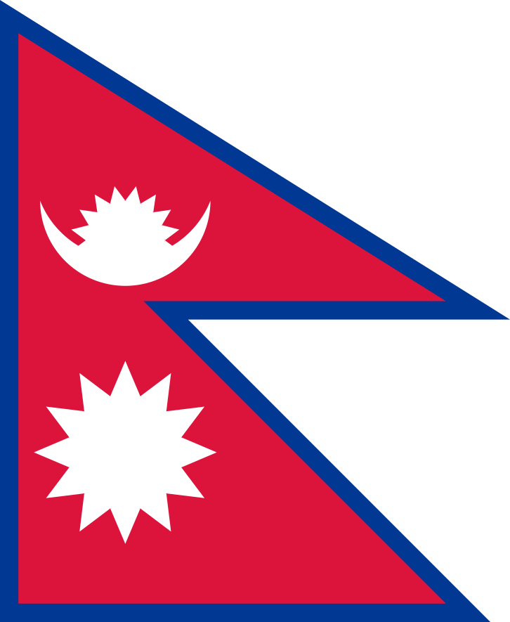 Nepal
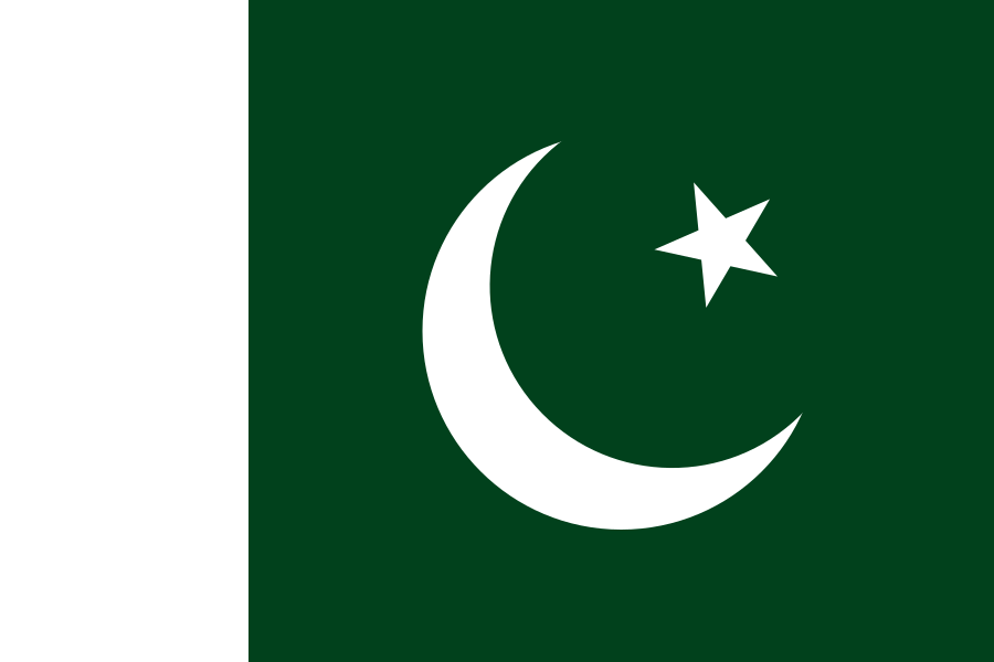 Pakistan
What did you discover?
Sources and image credits
This English article draws on the institutional sources listed below. Figures and memberships retain their stated reference dates.
Source record: 2 November 2026. A translation does not change the reference date of a figure or membership list.
- github.com/factbook/factbook.json/blob/144d6977b2b01ac1cbd220de754c0a005616760b/south-asia/in.json
- data.worldbank.org/indicator/SP.POP.TOTL
- whc.unesco.org/en/statesparties/in
- github.com/mledoze/countries