Hungary Flag, Capital and Country Facts
Hungary is a landlocked country in the Carpathian Basin and is crossed by the Danube and the Tisza. Large plains are just as much a part of the landscape as low mountains, wine landscapes and the Balaton. The capital city of Budapest was formed from several cities on both banks of the Danube; its location still explains the difference between the hilly Buda and the flatter plague.
Test your knowledge →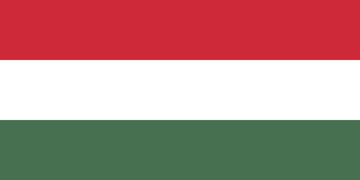
Hungary at a glance
- Capital
- Budapest
- Quiz continent
- Europe
- Languages in reference record
- Hungarian
- Currency
- Hungarian Forint (HUF)
- Population
- 9,514,251 (2025, World Bank)
- Area
- 93,028 km²
- Coastal setting
- Landlocked
- ISO codes
- HU / HUN
- Internet country suffix
- .hu
- Highest mountain
- Kékes, 1,014 m
- Great lake
- balaton
- Capital association
- 1873
- Important rivers
- Danube and Tisza
- UNESCO pasture landscape
- Hortobágy-Puszta
- State holidays
- 20 August
Hungary Flag: Design, Meaning and History
The Hungarian flag shows three equally high horizontal stripes in red, white and green. In the form used here, there is no coat of arms in the middle. The stripe direction is a useful point of comparison: Italy also uses red, white and green, but arranges them vertically and in a different order.
The colors combine medieval coat of arms traditions with the national movement of the 18th and 19th centuries. They are attributed different virtues such as strength, fidelity and hope. Such common interpretations are not to be equated with a single unchanging plan of historical significance; the connection to the old Hungarian coat of arms colors certainly remains recognizable.
Capital: Budapest
Budapest is located on the Danube and was founded in 1873 by the union of Buda, Óbuda and Pest. The western side is more hilly, the eastern side is mostly flatter. The river separates the historical parts and at the same time connects them by bridges, traffic routes and the common role as the capital of the country.
UNESCO protects the banks of the Danube, the Buda Castle District and the Andrássy Street as a coherent city heritage. The ensemble thus comprises different epochs and city functions. Anyone who learns Budapest only as a place on a map of the capital overlooks the special division, which remains visible both in the name and on the terrain.
Practise this capital →Hungary: Geography, History and Culture
Large parts of Hungary belong to flat or slightly corrugated landscapes of the Carpathian Basin. The Great Hungarian Plain lies mainly east of the Danube. The Kékes in the Mátra Mountains reaches 1,014 meters and forms the highest point. Compared to the neighbouring high mountains, Hungary is therefore predominantly low-lying, but by no means completely flat.
The Balaton is an important large lake in the west. The Hortobágy Puszta, on the other hand, represents an open cultural landscape of the lowlands and is a UNESCO World Heritage site. This juxtaposition shows that lakesides, vineyards, pasturelands and urban areas have different economic and historical developments within the same country.
Hungarian is one of the Finno-Ugric languages and thus differs from most of the languages of neighbouring countries. However, linguistic kinship does not mean immediate geographical proximity. The forint is the national currency; therefore, belonging to the European Union does not automatically mean that a country uses the euro.
Three cities will become one
The merger of Buda, Óbuda and Pest explains the emergence of today’s capital. The name Budapest preserves two of the historical names, while the different shape of both banks of the Danube continues to provide a practical orientation within the city.
Hortobágy as a cultural landscape
The open puszta is not only a natural motif. The UNESCO entry also recognises their long-standing use as a pasture landscape. People, animal husbandry and landscape development belong together here, which is why the term cultural landscape is particularly apt.
Language in neighbourhood comparison
Hungarian is neither a Slavic nor a Germanic or Romance language. This difference helps to learn the European language card, but should not be confused with cultural seclusion: Hungary’s history is closely linked to its neighbours.
Explore neighbouring and related places
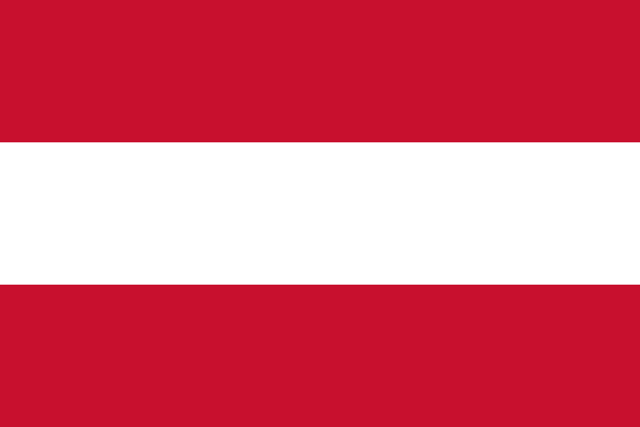 Austria
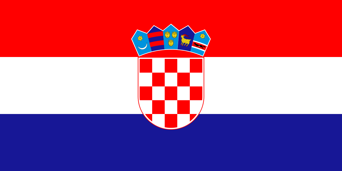 Croatia
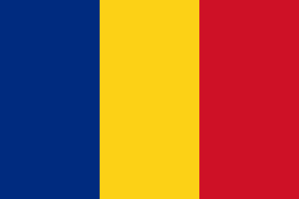 Romania
 Serbia
 Slovakia
 Slovenia
What did you discover?
Sources and image credits
This English article draws on the institutional sources listed below. Figures and memberships retain their stated reference dates.
Source record: 2 November 2026. A translation does not change the reference date of a figure or membership list.
- github.com/factbook/factbook.json/blob/144d6977b2b01ac1cbd220de754c0a005616760b/europe/hu.json
- data.worldbank.org/indicator/SP.POP.TOTL
- whc.unesco.org/en/statesparties/hu/
- github.com/mledoze/countries