Panama Flag, Capital and Country Facts
Panama is located on the narrow land bridge between North and South America. The canal connects the Atlantic and the Pacific, while the national territory includes tropical coasts, mountain landscapes and rainforests. Panama City is located on the Pacific side. The flag arranges red, blue and white in four fields and sets two different colored stars in the white quarters.
Test your knowledge →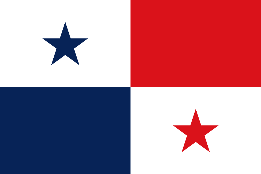
Panama at a glance
- Capital
- Panama City
- Quiz continent
- North America
- Languages in reference record
- Spanish (official language), including Ngäbere, Guna, Emberá and other languages
- Currency
- Balboa (PAB) and US Dollar (USD)
- Population
- 4,571,189 (2025, World Bank)
- Area
- 75,417 km²
- Coastal setting
- Not landlocked
- ISO codes
- PA / PAN
- Internet country suffix
- .pa
- Highest point
- Volcán Barú, 3,475 m
- Channel opening
- 1914
- Land neighbours
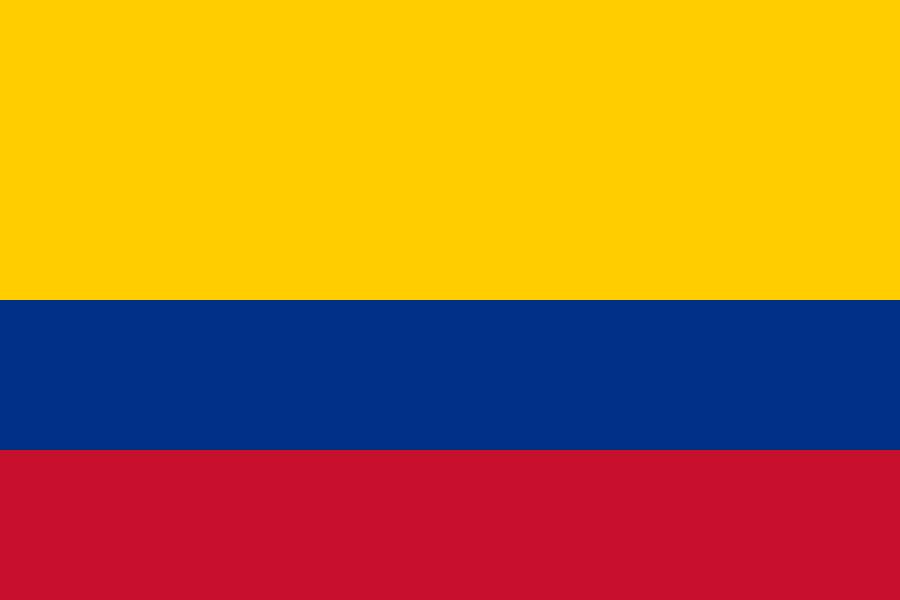
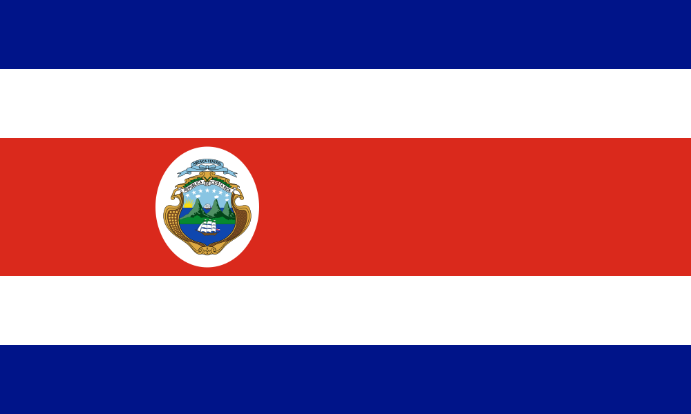
- Costa Rica and Colombia
- Atlantic channel space
- Colón
- Eastern Nature Area
- Darién
- Pacific Natural Heritage Site
- Coiba
Panama Flag: Design, Meaning and History
The flag is divided into four equal rectangles. At the top of the mast is a white field with a blue star, next to it is a red field. At the bottom of the mast is blue, to the right of it a white field with a red star. The two stars are therefore diagonally opposite and on a white background.
Red and blue refer to the historical political camps, white to peace between them. The design belongs to the state foundation of 1903. Unlike a classic tricolor, the colors do not stand next to each other as three continuous stripes. When memorizing, the assignment helps: Blue belongs to the star at the top left and to the color field at the bottom left.
Capital: Panama City
Panama City is located on the Pacific coast near the southern entrance of the canal. The capital connects a modern economic area with historic urban areas. Its location makes it clear that one coastal town on the canal is not automatically located on the Caribbean side; the other important canal entrance is located in the Colón area on the Atlantic.
The colonial history includes the older town centre Panamá Viejo and the later historical centre. The UNESCO entry of the colonial transisthmic route was extended in 2025 and connects several places of traffic across the Landing. The history of the capital is thus part of a larger system of roads, ports and fortifications, not just the history of an isolated old town district.
Practise this capital →Panama: Geography, History and Culture
The isthmus connects the continents, but at the same time separates two oceans. Mountain interiors and coastal plains alternate; the Volcán Barú reaches 3,475 meters. Panama borders Costa Rica to the west and Colombia to the east. The Darién in the east differs from the densely networked canal region in terms of landscape and development.
The Panama Canal opened in 1914. It uses locks and an artificially influenced water balance instead of functioning as a simple flat ocean cut. Its role in world trade is thus also related to fresh water and the conditions in the catchment area. The comparison of transport route and rainforest shows that global infrastructure and regional use of natural space are directly linked.
Spanish is an official language; indigenous communities preserve Ngäbere, Guna and Emberá among others. The state uses the Balboa together with the US dollar in payment transactions. The country’s development is closely linked to international trade, but its society and landscape extend far beyond the Canal. Caribbean and Pacific coastal areas as well as autonomous indigenous territories each have their own historical references.
Darién
The National Park became a World Heritage Site in 1981. It protects tropical landscapes on the continental land bridge and forms a strong contrast to the intensively used canal space.
Coiba
The National Park and its special marine protection zone were added to the World Heritage List in 2005. The natural heritage is located on the Pacific side and complements the mainland forests.
Portobelo and San Lorenzo
The fortifications on the Caribbean coast have been on the World Heritage List since 1980. They explain the historical significance of the Atlantic side for trade and defence.
Explore neighbouring and related places
 Colombia
 Costa Rica
What did you discover?
Sources and image credits
This English article draws on the institutional sources listed below. Figures and memberships retain their stated reference dates.
Source record: 2 November 2026. A translation does not change the reference date of a figure or membership list.
- github.com/factbook/factbook.json/blob/144d6977b2b01ac1cbd220de754c0a005616760b/central-america-n-caribbean/pm.json
- data.worldbank.org/indicator/SP.POP.TOTL
- whc.unesco.org/en/statesparties/pa/
- github.com/mledoze/countries