Ecuador Flag, Capital and Country Facts
Ecuador carries the equator in the name and connects very different landscapes in a narrow space. The Pacific coast, the Andean highlands, the Amazon and the Galápagos Islands belong to the same state. The capital Quito is high in the mountains. On the flag, the coat of arms reveals that the yellow-blue-red tricolor belongs to Ecuador and not to Colombia.
Test your knowledge →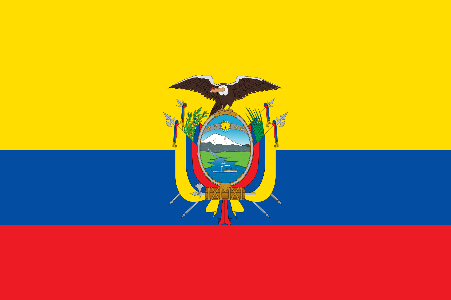
Ecuador at a glance
- Capital
- Quito
- Quiz continent
- South America
- Languages in reference record
- Spanish; Kichwa and Shuar for intercultural relations, other indigenous languages regional
- Currency
- US dollar (USD)
- Population
- 18,289,896 (2025, World Bank)
- Area
- 276,841 km²
- Coastal setting
- Not landlocked
- ISO codes
- EC / ECU
- Internet country suffix
- .ec
- Name reference
- Equator
- Highest mountain
- Chimborazo, about 6,267 m according to Factbook Archive
- Continental regions
- Coast, Andes and Amazon
- Island group
- Galápagos
- National holiday
- 10 August
- Autonomous State
- Since 1830 after the disintegration of Greater Colombia
Ecuador Flag: Design, Meaning and History
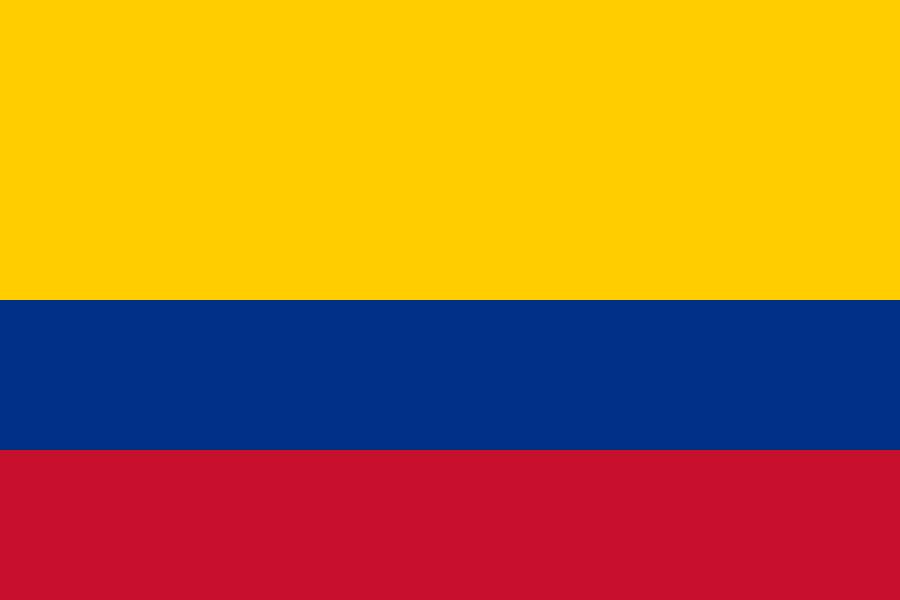
Three horizontal stripes are yellow, blue and red. Yellow occupies the upper half, blue and red each a quarter. In the middle is the state coat of arms. The similar Colombian flag does not have this coat of arms; Venezuela’s stripes, on the other hand, are the same height and carry a star arc.
The color combination refers to the common history of the successor states of Greater Colombia. The Factbook Archive cites yellow as a reference to sun, grain and mineral resources, blue to sky and water, and red to the struggle for independence. In the coat of arms, landscape and state symbols are combined; for the quiz, its presence is often sufficient as a distinguishing feature.
Capital: Quito
Quito is located in the Andes near the equator. The altitude explains why the climate of the capital can be significantly cooler than one would expect from the tropical latitude alone. The city name is reminiscent of the Quitu, a pre-colonial population of the region.
The city of Quito was included in the UNESCO World Heritage List in 1978. The historic old town also makes the capital an important place of colonial architecture. Quito is thus a political centre and cultural site; the large coastal and port location Guayaquil plays a different, more maritime role in the country's fabric.
Practise this capital →Ecuador: Geography, History and Culture
Coast, Sierra and Eastern Amazon form three major continental spaces. The Andes act as a striking height and climate boundary. In the highlands are volcanoes, including the Chimborazo. The Factbook archive points out that its summit is particularly far from the center of the earth because of the flattened shape of the earth; this is something different than the altitude above sea level.
The Galápagos Islands are located far west of the mainland in the Pacific. Their distance and their own timeline make it clear that Ecuador cannot be understood from the contiguous mainland alone. The island world is known for its animal and plant world. It is also related to the history of scientific observation, which goes far beyond the size of the country.
Spanish is the central official language; Kichwa, Shuar and other indigenous languages have special constitutional roles. Independence from Spain was won in 1822, after which the area first belonged to Greater Colombia. Since 1830, Ecuador has existed as an independent state. The common flag family with Colombia and Venezuela therefore provides a direct visible access to regional history.
Galápagos
The Galápagos Islands were included as a natural heritage site in 1978; the entry was later extended. Its importance lies in a particular island ecology. The shelter complements the Andean and Amazonian landscapes of the mainland with a distant Pacific habitat.
Quito and Cuenca
In addition to Quito, the historical center of Cuenca is also a World Heritage Site. The two city entries show different historical centers of the Andean region. They make it clear that Ecuador’s cultural heritage is not only concentrated in the capital.
Sangay
The Sangay National Park has been on the UNESCO list since 1983. It complements the famous Galápagos Islands with a natural world heritage on the mainland. Ecuador’s nature conservation history thus includes island areas and mountain landscapes that have very different environmental conditions.
Explore neighbouring and related places
 Colombia
 Peru
What did you discover?
Sources and image credits
This English article draws on the institutional sources listed below. Figures and memberships retain their stated reference dates.
Source record: 2 November 2026. A translation does not change the reference date of a figure or membership list.
- github.com/factbook/factbook.json/blob/144d6977b2b01ac1cbd220de754c0a005616760b/south-america/ec.json
- data.worldbank.org/indicator/SP.POP.TOTL
- whc.unesco.org/en/statesparties/ec
- github.com/mledoze/countries