Bahrain Flag, Capital and Country Facts
Bahrain is an island nation in the Persian Gulf whose history begins long before oil production. Trade connections of the old Dilmun and the pearl economy left visible traces to this day. The small spatial extent does not mean a uniform landscape: densely built coastlines, dry island areas and archaeological sites are close together.
Test your knowledge →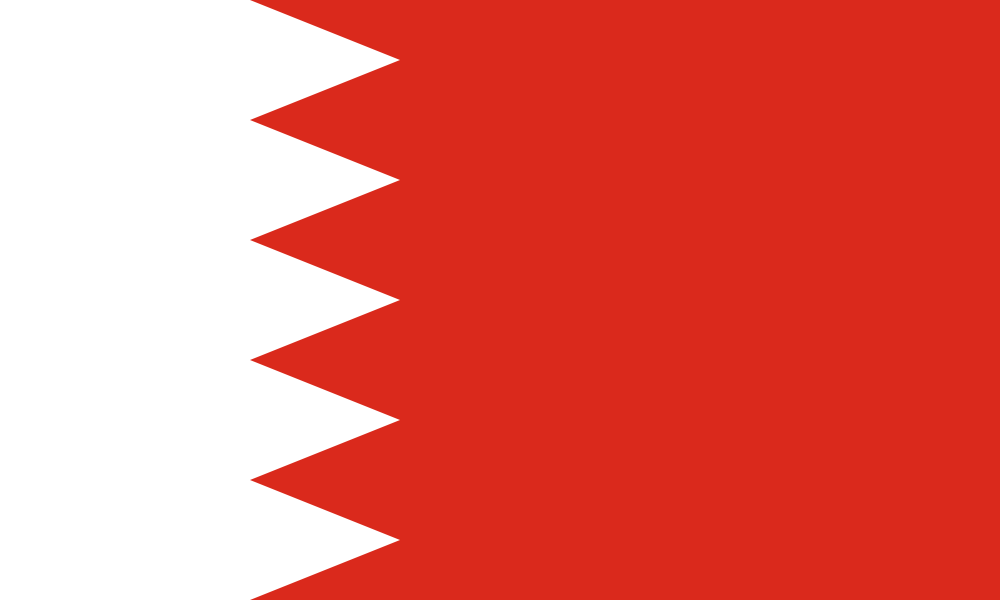
Bahrain at a glance
- Capital
- Manama
- Quiz continent
- Asia
- Languages in reference record
- Arabic; English spread in business
- Currency
- Bahraini Dinar (BHD)
- Population
- 1,600,366 (2025, World Bank)
- Area
- 765 km²
- Coastal setting
- Not landlocked
- ISO codes
- BH / BHR
- Internet country suffix
- .bh
- Highest point
- Jabal ad-Duchan, 135 m
- Historical Cultural Area
- Dilmun
- Independence
- 15 August 1971
- National holiday
- 16 December
- Mainland connection
- King Fahd Causeway to Saudi Arabia
- Neighboring island of the capital
- Muharraq
Bahrain Flag: Design, Meaning and History
The flag consists of a narrower white field on the pole side and a larger red field. A jagged border with five white tips separates the colors. It has neither stars nor crescent. The proportion is also crucial: the Bahraini flag is drawn less long than the flag of Qatar, which at first glance is similar.
The five white teeth are assigned to the five pillars of Islam. The flag shape emerged from older red Gulf Sea flags and the later added white lot. The current number of peaks was determined in 2002. For recognition, the combination of strong red, white and five teeth is more reliable than a general color symbolism.
Capital: Manama
Manama is located on the northeast coast of the main island. As the capital, it is the administrative, commercial and financial center of the archipelago. Its coastal position fits a history in which shipping and exchange with neighbouring regions were more important than large agricultural hinterlanders. The modern skyline is only one of the visible layers of this development.
The neighboring island of Muharraq is closely connected to Manama, but has its own city history. This is where an essential part of the UNESCO heritage of pearl farming lies. Capital, former trading district and archaeological sites should not be merged into a single place: they explain different phases of the island's history.
Practise this capital →Bahrain: Geography, History and Culture
Bahrain is located off the east coast of the Arabian Peninsula. The climate is hot and dry; natural freshwater deposits were particularly valuable for early colonization. Islands and coasts were greatly altered by landfills. In the case of area or island numbers, therefore, the reference year is important instead of giving out variable data as immutable natural data. A natural higher mountain ridge is largely missing. The terrain only increases to a low central elevation. Bahrain’s low altitude and pronounced drought therefore fundamentally distinguishes its agriculture from the irrigated river havens of the mainland.
Oil changed the economy and settlement image in the 20th century. The factbook archive stand of 2025 also mentions financial services and industrial activities. The change can be compared well with the older pearl economy: both connected the islands with foreign markets, but required very different ways of working and infrastructure.
Arabic is the official language. Trade and labour migration have many other linguistic links. Archaeologically, Bahrain’s significance extends far beyond modern state history: the Dilmun culture was embedded in trade networks between Mesopotamia and other Gulf regions. Burial mounds, harbour sites and later fortifications document different eras.
Qal’at al-Bahrain
The UNESCO site connects an old port and the capital of historic Dilmun. The visible fortification is part of a much older settlement site.
Pearl farming
The world heritage of pearl farming preserves buildings and other testimonies of this trade. It explains an island everyday life before the dominance of oil and finance.
Dilmun Tomb Hill
The grave hill fields have been World Heritage sites since 2019. They show how great the importance of this island region was already in the Bronze Age.
Explore neighbouring and related places
 Afghanistan
 Armenia
 Azerbaijan
 Bangladesh
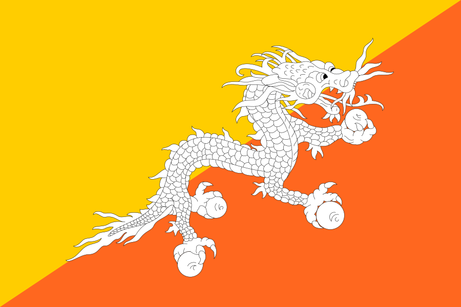 Bhutan
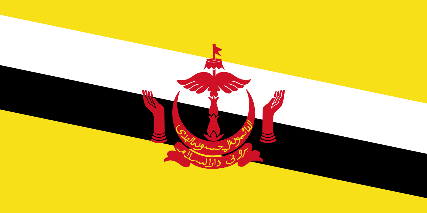 Brunei
What did you discover?
Sources and image credits
This English article draws on the institutional sources listed below. Figures and memberships retain their stated reference dates.
Source record: 2 November 2026. A translation does not change the reference date of a figure or membership list.
- github.com/factbook/factbook.json/blob/144d6977b2b01ac1cbd220de754c0a005616760b/middle-east/ba.json
- data.worldbank.org/indicator/SP.POP.TOTL
- whc.unesco.org/en/statesparties/bh
- github.com/mledoze/countries