Sicily: Regional Flag, Capital and Regional Profile
Sicily is an autonomous region of Italy whose history has been shaped by island spaces, volcanism and cultural encounters. Palermo is their political capital. The striking yellow-red flag bears a three-legged figure with a head in the middle. Between Etna and the Norman buildings of the north coast, the diversity of the region can be seen particularly clearly.
Test your knowledge →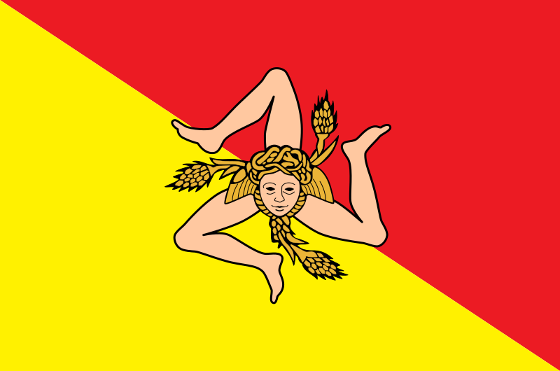
Sicily at a glance
- Name
- Sicily
- Country
- Italy
- Profile type
- Italian region
- Administrative seat in source record
- Palermo
- Statute for autonomy
- Approved in 1946, constitutionally enshrined in 1948
- Other regional islands
- Among others Ustica and Pantelleria
- Associated island groups
- Aeolian, Egadian and Pelagic Islands
- Active volcano
- Etna in eastern Sicily
- Etna World Heritage Site
- Since 2013
- Documented volcanism
- At Etna for at least 2700 years
- Arab-Norman heritage
- Nine buildings in Palermo, Cefalù and Monreale
- Norman construction period
- 1130–1194 for the registered buildings
The Flag of Sicily
The flag is divided diagonally into red and yellow. In its center stands the triskele with three angled legs, which are arranged around a head. The head is called the Gorgoneion; ears complement the motif. This unusual group of figures makes Sicily easily distinguishable from other regional flags even from a greater distance.
The current regional flag was officially adopted by a law of 4 January 2000. The regional administration combines its historical references with the Sicilian Vespers of 1282. However, the far-reaching origins of the triskele and individual mythological explanations are not equally certain; no clear history of origin is constructed from them.
Sicily: Location and Territorial Role
In addition to the main island, the autonomous region comprises other island groups and islands. The special statute explicitly mentions the Aeolian, Egadian and Pelagic islands as well as Ustica and Pantelleria. The political space is thus larger than the individual island, which is the focus on many simple maps and is often used for the entire region.
Palermo is located on the north coast. The World Heritage Site of the Arab-Norman Palermo also includes cathedrals in Cefalù and Monreale. Its nine buildings form a coherent network. The regional cultural history thus becomes visible through several places, instead of being connected exclusively with a single palace or a church in the capital.
Landscape, History and Culture
Norman architecture combines Western, Islamic and Byzantine traditions. The inscribed buildings date back to the period of the Kingdom of Sicily between 1130 and 1194. Building forms, spatial effect and decoration do not simply show separate styles next to each other, but new solutions that emerged from the combination of different craftsmanship and artistic knowledge.
Etna characterizes the east of the main island as an active layer volcano. Its eruptions continuously create and change landscape. Craters, lava flows, slag cones and caves allow volcanic processes to be read in many forms. UNESCO highlights the long-documented activity and special value of the mountain for research and education.
Sicily's special statute was approved in 1946 and converted into a constitutional law in 1948. This chronological sequence explains the legal autonomy of the region within Italy. The 2000 flag is thus significantly younger than the autonomy order, even if it draws on much older graphic symbols and historical memories.
Arab-Norman alliance
The Arab-Norman World Heritage site includes the Royal Palace with palace chapel, the Zisa Palace, several churches and the Admirals Bridge. The fact that a bridge also belongs to it expands the view beyond sacred architecture. The common value lies in the special cultural connection that was expressed in various construction tasks of the Norman period.
A volcano as a research space
Etna has been a World Heritage Site since 2013. Its activity has been documented for at least 2700 years and provides an exceptionally long observation series. The exact peak height is deliberately not mentioned here as an immutable indicator: In the case of an active volcano, eruptions and changes in the summit craters can influence such measured values.
Three legs and three island tips
The three legs of the triskele are connected by the regional administration with the three striking island tips: Capo Peloro near Messina, Capo Passero in the southeast and Capo Lilibeo near Marsala. Thus, the flag motif also offers a geographic help. However, the symbolic triangular shape does not replace an exact description of the coastline.
Explore this country and nearby profiles
 Italy
 Rome
 Florence
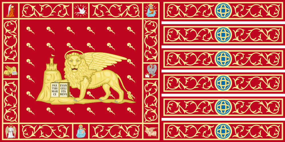 Venice
 Milan
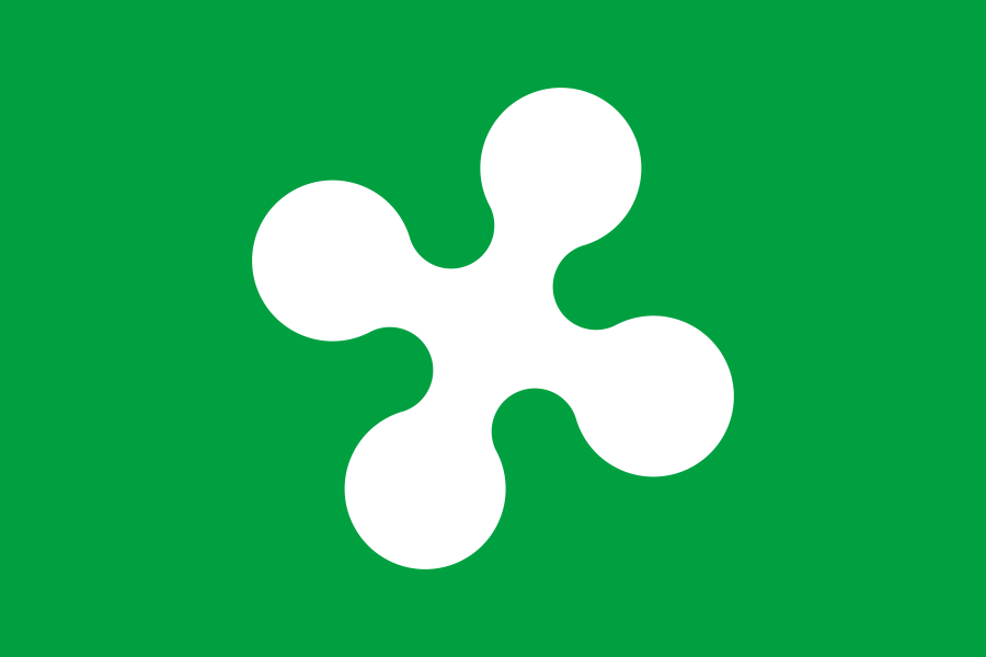 Lombardy
What did you discover?
Take this flag into the quiz
Sources and image credits
This English article draws on the institutional sources listed below. Figures and memberships retain their stated reference dates.
Source record: 2 November 2026. A translation does not change the reference date of a figure or membership list.
- regione.sicilia.it/istituzioni/i-simboli-della-regione/la-bandiera
- regione.sicilia.it/istituzioni/regione/lo-statuto-regionale
- whc.unesco.org/en/list/1487/
- whc.unesco.org/en/list/1427