Norway Flag, Capital and Country Facts
Norway is located in the west of the Scandinavian Peninsula and extends far beyond the Arctic Circle. Fjords, mountains and numerous islands make the coastline exceptionally divided. Oslo, on the other hand, is located in the southern part of the country. The red-white-blue cross flag connects the country with the Nordic flag family and its history of political ties with Denmark and Sweden.
Test your knowledge →
Norway at a glance
- Capital
- Oslo
- Quiz continent
- Europe
- Languages in reference record
- Norwegian with Bokmål and Nynorsk; Sami languages in protected contexts
- Currency
- Norwegian krone (NOK)
- Population
- 5,610,870 (2025, World Bank)
- Area
- 323,802 km²
- Coastal setting
- Not landlocked
- ISO codes
- NO / NOR
- Internet country suffix
- .no
- Highest mountain
- Galdhøpiggen, 2,469 m
- National holiday
- 17 May
- Constitutional Year
- 1814
- End of the Union with Sweden
- 1905
- Former capital name
- Kristiania
- World Heritage Fjord
- Nærøyfjord
Norway Flag: Design, Meaning and History
A blue cross with a white border lies on a red background. The vertical cross beam is shifted to the hoist side; all beams extend up to the flag edges. This Nordic cross differs from a centrally arranged equiarmed cross. In Norway, the white border around the blue cross must not be overlooked.
The design dates back to 1821 and combines colours reminiscent of Norway’s history at that time with Denmark and Sweden. Red and white follow the Danish tradition, blue complements the design. The cross belongs to the common Nordic formal language. However, the same basic form does not mean that all Nordic countries have the same political development or the same colour explanations.
Capital: Oslo
Oslo is located at the inner end of the Oslofjord in southeast Norway. The capital is thus closely connected to an arm of the sea, although it is not directly on the open Atlantic coast. Administration, port and transport routes meet here in a region that is more densely populated than many parts of the country further north.
In modern times, the city bore the names Christiania and Kristiania for a long time and was renamed Oslo in 1925. The current capital should not be confused with mountains, which historically was an important trading center on the west coast. Southeastern capital location and famous western Norwegian fjord landscapes are different geographical reference points.
Practise this capital →Norway: Geography, History and Culture
Glaciers formed many valleys and the deeply cut fjords. Highlands and mountains occupy large parts of the country; Galdhøpiggen reaches 2,469 meters. The long coastal paths on maps often seem shorter than they are in actual terrain. Fjords create protected areas of water, but at the same time can make land traffic across the coast more difficult.
Norwegian has two written standards, Bokmål and Nynorsk. Sami languages are part of another cross-border cultural history in the north. The term Sápmi extends beyond Norway. This cultural geography shows that the state borders of Scandinavia do not coincide everywhere with the distribution areas of languages and traditional ways of life.
The Constitution Day on 17 May commemorates 1814; the union with Sweden ended only in 1905. Both data mark different steps of state development. Fishing, shipping, hydropower and oil and gas characterised different economic areas. The UNESCO-protected Western Norwegian fjords Geirangerfjord and Nærøyfjord also show a natural space whose protection and use are closely linked.
Two Fjords as World Heritage Sites
Geirangerfjord and Nærøyfjord have been UNESCO World Heritage sites since 2005. They are particularly vivid examples of the coastal landscape formed by glaciers.
Constitution before complete separation
The constitution dates back to 1814, the end of the Swedish Union in 1905. The national holiday and the end of the Union therefore refer to different years.
A capital city on the inner fjord
Oslo lies deep in the Oslofjord. The capital city name thus leads to a different coastal region than the famous fjords in the west.
Explore neighbouring and related places
 Finland
 Sweden
 Russia
Cities and regions in this country
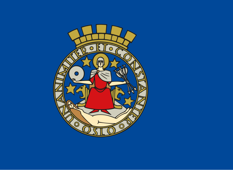 Oslo
What did you discover?
Sources and image credits
This English article draws on the institutional sources listed below. Figures and memberships retain their stated reference dates.
Source record: 2 November 2026. A translation does not change the reference date of a figure or membership list.
- github.com/factbook/factbook.json/blob/144d6977b2b01ac1cbd220de754c0a005616760b/europe/no.json
- data.worldbank.org/indicator/SP.POP.TOTL
- whc.unesco.org/en/list/1195
- github.com/mledoze/countries