Indonesia Flag, Capital and Country Facts
Indonesia extends as an island nation between the Indian and Pacific Oceans across the equator. Java, Sumatra, Kalimantan, Sulawesi and the western part of New Guinea are among its large land areas. The flag is a simple red-and-white two-colouredness; in the case of the capital, Jakarta is supplemented in the quiz by a reference to the new capital project Nusantara.
Test your knowledge →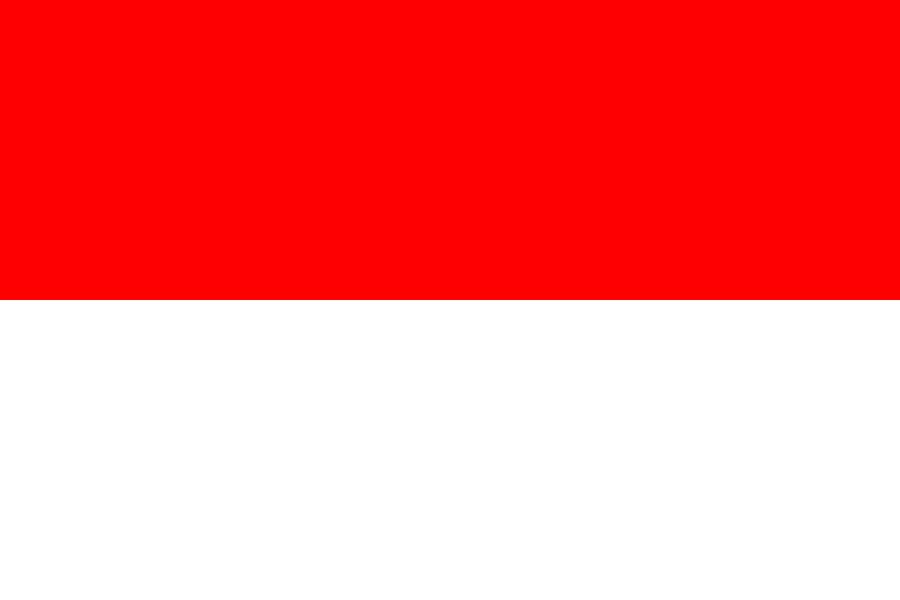
Indonesia at a glance
- Capital
- Jakarta
- Quiz continent
- Asia
- Languages in reference record
- Indonesian (Bahasa Indonesia); numerous other languages including Javanese and Sundanese
- Currency
- Indonesian Rupiah (IDR)
- Population
- 285,721,236 (2025, World Bank)
- Area
- 1,904,569 km²
- Coastal setting
- Not landlocked
- ISO codes
- ID / IDN
- Internet country suffix
- .id
- Declaration of Independence
- 17 August 1945
- Capital project
- Nusantara in Eastern Kalimantan
- Highest point
- Puncak Jaya, 4,884 m
- Largest capital island
- Java
- Divided large island
- Borneo
- Time zones
- Three
Indonesia Flag: Design, Meaning and History
The supplied dataset retains Jakarta pending a formal transfer of capital functions to Nusantara.
The flag consists of two equally high horizontal stripes: red above, white below. A coat of arms or star is missing. The color order is crucial, because Poland shows white over red. Monaco also uses red over white, but differs in the official side proportions.
The red-and-white design was hoisted at the Declaration of Independence on 17 August 1945. The color combination is based on older historical traditions, including the Majapahit Empire. Red is associated with courage and white with purity. The name Sang Saka Merah Putih emphasizes the two colors, instead of naming an additional motif.
Capital: Jakarta
Jakarta is located on the northwest coast of Java and is the capital used in the quiz. The city evolved from older trading centers and was known under Dutch rule as Batavia. Its location on Java connects it with a particularly densely populated island; it is by no means in the geographical center of the entire archipelago.
Nusantara, on the other hand, originates in Eastern Kalimantan on Borneo. The Capital Law distinguishes the project from the legal transfer of capital functions, which requires a presidential decision. Official documents from 2026 describe the expansion further and mention 2028 as a goal for a political capital. Therefore, Jakarta remains here the quiz answer; Nusantara is declared as an ongoing transition with its own legal and structural development.
Practise this capital →Indonesia: Geography, History and Culture
Indonesia's island chains lie at several plate boundaries. Volcanoes, earthquakes and very different landscapes are therefore part of the basic geographical structure. The large islands often have mountainous interiors and coastal plains. In the far east, Puncak Jaya reaches 4,884 meters according to the Factbook Archive; this high mountain world is very different from the lowlands of Sumatra or Kalimantan.
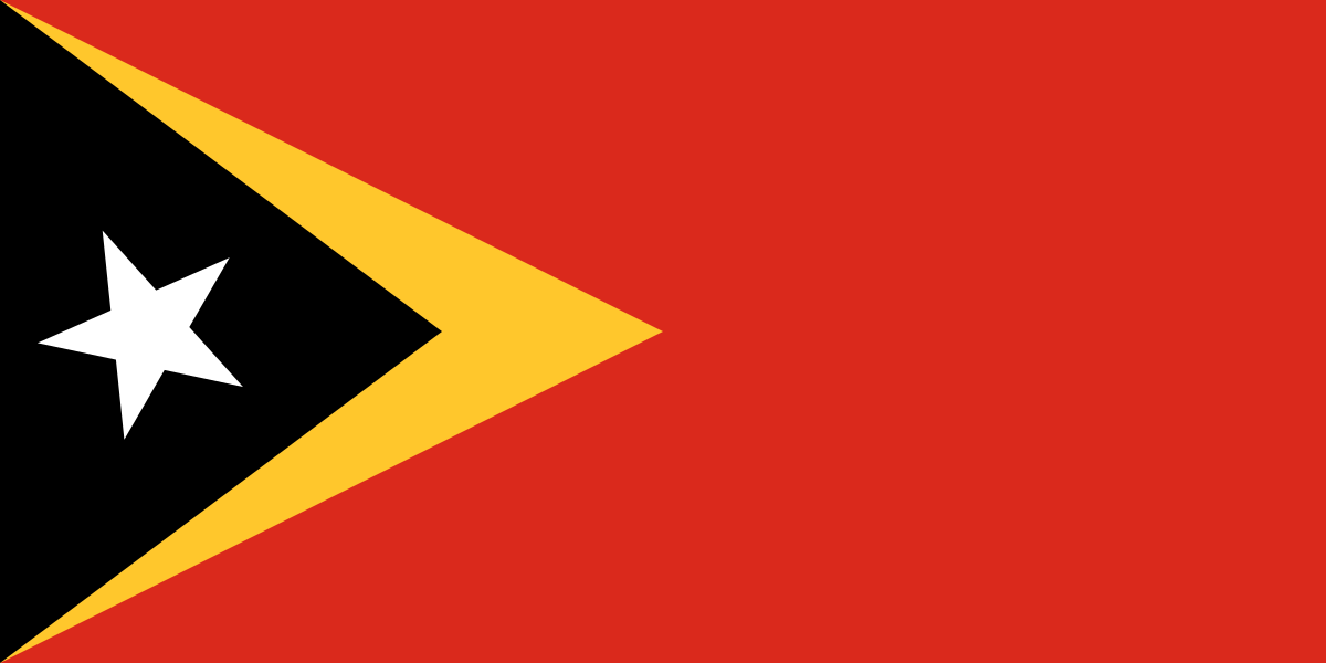
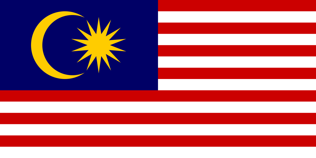
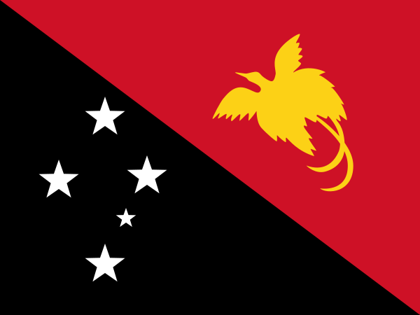
The sea separates and connects the islands at the same time. Shipping, fishing and the location between two oceans characterize the exchange. Indonesia shares Borneo with Malaysia and Brunei, as well as New Guinea with Papua New Guinea; Timor is shared with Timor Leste. The political unity of the archipelago therefore does not mean that each island is completely Indonesian, nor that all parts of the country are immediately adjacent to each other.
Bahasa Indonesia serves as a common state language in a country with hundreds of other languages. This common understanding is particularly important because, for example, Javanese, Sundanese, Balinese and Papuan linguistic regions have their own stories. The cultural heritage is also diverse: Borobudur and Prambanan point to Buddhist and Hindu traditions, while other sites open up commercial, industrial or early human history.
Borobudur and Prambanan
Both temples became World Heritage sites in 1991. Their comparison illustrates different religious traditions in Java and protects against the idea of a single unchanged cultural history.
Komodo National Park
The National Park has been on the World Heritage List since 1991. Its natural heritage complements the famous temple sites with island and marine habitats.
Bali's subak system
The cultural landscape with the Subak irrigation system became a World Heritage Site in 2012. It shows how water management, community organization and religious ideas can shape a landscape together.
Explore neighbouring and related places
 Timor-Leste
 Malaysia
 Papua New Guinea
What did you discover?
Sources and image credits
This English article draws on the institutional sources listed below. Figures and memberships retain their stated reference dates.
Source record: 2 November 2026. A translation does not change the reference date of a figure or membership list.
- github.com/factbook/factbook.json/blob/144d6977b2b01ac1cbd220de754c0a005616760b/east-n-southeast-asia/id.json
- data.worldbank.org/indicator/SP.POP.TOTL
- whc.unesco.org/en/statesparties/id/
- ikn.go.id/id/posts/pembangunan-tahap-ii-ikn-terus-berjalan-otorita-ikn-lakukan-evaluasi-berkala
- jdih.kemenkeu.go.id/dok/uu-3-tahun-2022/view
- github.com/mledoze/countries