Togo Flag, Capital and Country Facts
Togo is a narrow West African state between Ghana and Benin. From the short Atlantic coast, the country reaches far north. Lomé is located directly on the sea and near the Ghanaian border. The flag combines five green-yellow stripes with a white star in the red corner field and belongs to the Pan-African color tradition.
Test your knowledge →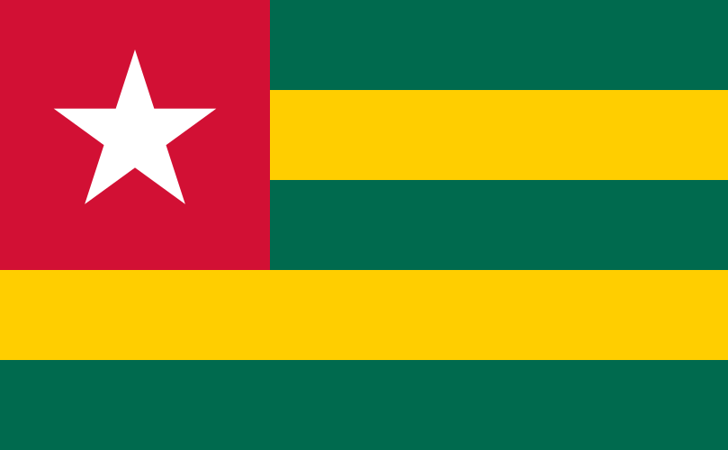
Togo at a glance
- Capital
- Lomé
- Quiz continent
- Africa
- Languages in reference record
- French (official language); Ewe, Kabiyé and other languages
- Currency
- West African CFA franc (XOF)
- Population
- 8,591,626 (2025, World Bank)
- Area
- 56,785 km²
- Coastal setting
- Not landlocked
- ISO codes
- TG / TGO
- Internet country suffix
- .tg
- Highest mountain
- Mont Agou, 986 m
- Independence
- 27 April 1960
- Western neighbour
- Ghana
- Eastern neighbour
- Benin
- Marine space
- Gulf of Guinea
- Cross-border World Heritage
- Koutammakou, with Benin
Togo Flag: Design, Meaning and History
Five equally high horizontal stripes alternate between green and yellow. Above, in the middle and below is green. A red square on the upper left bears a white five-pointed star. The corner field superimposes the upper stripes; the flag therefore does not simply consist of a green-yellow stripe sequence.
The Factbook archive connects the stripes with the regions of the country. Green stands for hope and agriculture, yellow for mineral resources, red for loyalty and patriotism. The white star is associated with peace and independence. The colors belong to the Pan-African tradition, while the number of stripes and red star field make Togo particularly recognizable.
Capital: Lomé
Lomé is located in the extreme south on the Atlantic coast and directly on the border with Ghana. As a result, the capital has a clearly marginal location. Anyone who expects a geographical center as a capital is surprised here: Political and economic importance developed at the coastal and commercial location.
The port connects Togo with the sea and is also important for the hinterland. The long north-south axis of the state makes the connection between coast and inland regions particularly important. Lomé is therefore not only a city on the beach, but a hub where maritime paths and land connections meet.
Practise this capital →Togo: Geography, History and Culture
On the coast lie flat landscapes and lagoons, further inside follow plains, hills and mountain ranges. Mont Agou reaches 986 meters. To the north, conditions become drier. The narrow shape of the country thus connects several vegetation and climate spaces; a single description as a tropical coastline would hide a large part of Togo.
French is an official language, Ewe and Kabiyé are important national languages; there are also other local languages. Ewe is also spoken beyond the state border. Such cross-border linguistic areas make it clear that modern borders cannot be understood as complete cultural dividing lines. The same is shown by the cultural landscape Koutammakou, which Togo shares with Benin.
The present country dates back to a part of the former German colony Togo. After the First World War, the area was divided between British and French administration; the French-administered part became independent on 27 April 1960. This story explains why the former colonial space and the present state do not have completely the same area. Current forms of government should be treated separately from them through new official sources.
Koutammakou
The Batammariba landscape became a World Heritage Site in 2004; a share was added in Benin in 2023. The entry documents a cultural area across the current border. Togo thus has a world heritage, the connection of which does not end at a national border post.
Coast and North
The capital lies at the southern end of a long country. Between the coastal area and the northern inland area, relief and precipitation conditions change. This extension explains why the short Atlantic coast only partially describes the country profile.
Five strips
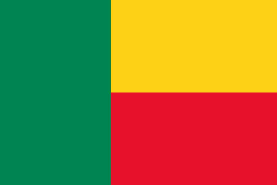
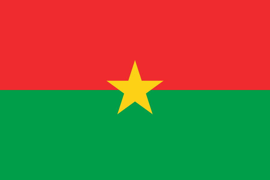
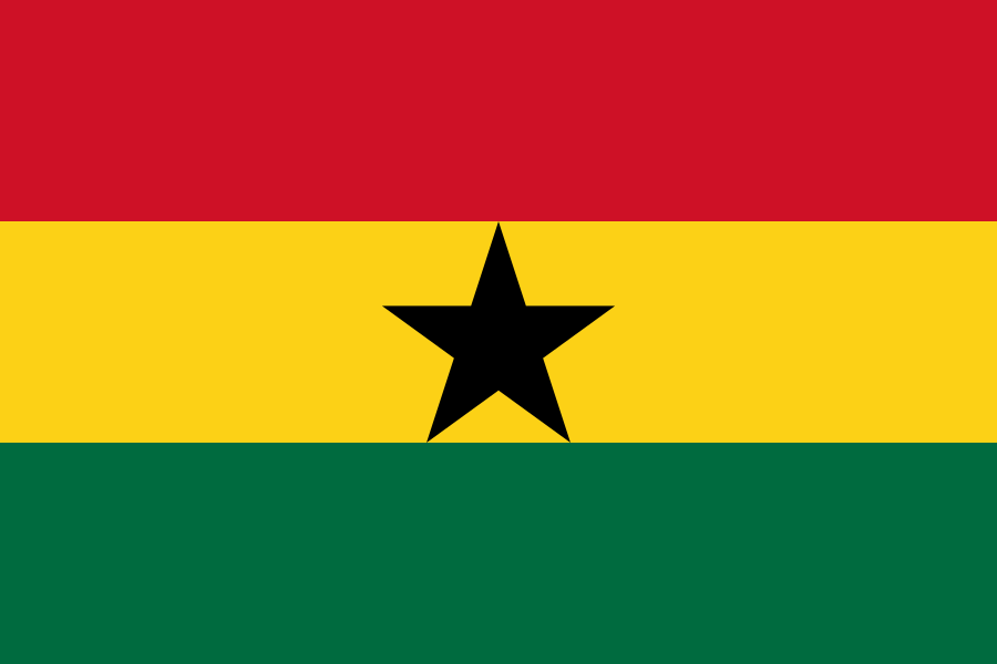
Three green and two yellow stripes together make five bands. The white star is located exclusively in the red corner field. This exact count is a simple learning aid because several neighboring states use the same pan-African colors in a very different arrangement.
Explore neighbouring and related places
 Benin
 Burkina Faso
 Ghana
What did you discover?
Sources and image credits
This English article draws on the institutional sources listed below. Figures and memberships retain their stated reference dates.
Source record: 2 November 2026. A translation does not change the reference date of a figure or membership list.
- github.com/factbook/factbook.json/blob/144d6977b2b01ac1cbd220de754c0a005616760b/africa/to.json
- data.worldbank.org/indicator/SP.POP.TOTL
- whc.unesco.org/en/statesparties/tg
- github.com/mledoze/countries