Palestine Flag, Capital and Country Facts
Palestine geographically includes the West Bank and the Gaza Strip. Ramallah is listed as the administrative seat in the quiz; East Jerusalem is claimed as the capital. This distinction is indispensable. The flag carries the pan-Arab colours, while historical cities and cultural landscapes open up a history whose current living conditions are strongly marked by occupation and war.
Test your knowledge →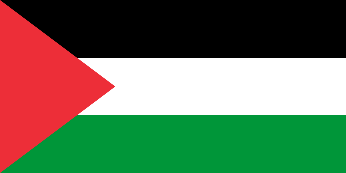
Palestine at a glance
- Administrative centre
- Ramallah
- Quiz continent
- Asia
- Languages in reference record
- Arabic; also, among others, English
- Currency
- Especially Israeli New Shekel (ILS); other currencies in circulation
- Population
- 5,413,596 (2025, World Bank)
- Area
- 6,220 km²
- Coastal setting
- Not landlocked
- ISO codes
- PS / PSE
- Internet country suffix
- .ps, فلسطين.
- Administrative centre
- Ramallah
- Claimed capital
- East Jerusalem
- Separate parts
- West Bank and Gaza Strip
- Territorial Sea of Gaza
- Mediterranean Sea
- Historical Terrace Landscape
- Battir
- Archaeological World Heritage Site
- Tell es-Sultan at Jericho
Palestine Flag: Design, Meaning and History
Ramallah is the administrative centre. Palestine claims East Jerusalem as its capital.
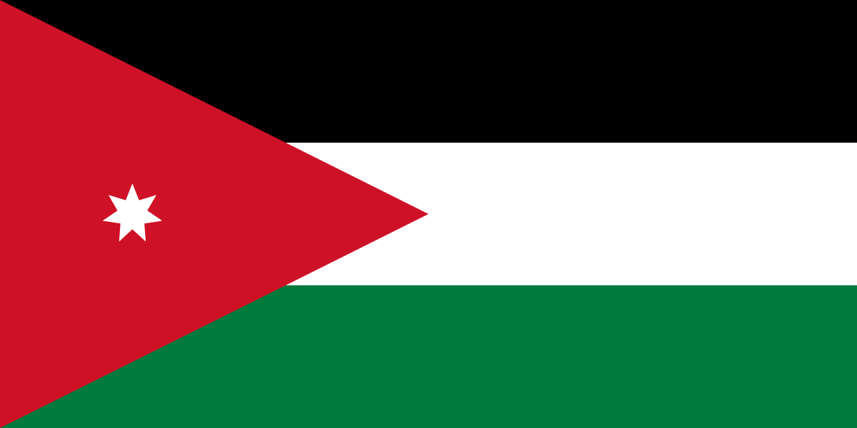
Three equally high horizontal stripes are in black, white and green. On the mast is a red triangle, the tip of which protrudes into the stripes. The flag contains no star and no coat of arms. Just the lack of a star helps in distinguishing from the similarly constructed flag of Jordan.
The four colours belong to the Pan-Arabic symbolic tradition and tie in with the flag of the Arab revolt. They associate the Palestinian symbol with a larger regional history. However, the concrete structure consisting of three stripes and a red mast triangle remains independent. From the common tradition of color, no equivalence of the participating states or their political institutions can be derived.
Administrative centre: Ramallah
Ramallah in the West Bank serves as the administrative center of the Palestinian Authority. This function explains its use in the quiz. It does not mean that the Palestinian capital claim is abandoned or that the status of Jerusalem is finally settled. For a factual description of the country, the actual administrative seat and claimed capital must therefore be mentioned explicitly next to each other.
East Jerusalem is claimed by the Palestinian side as the capital. The United Nations treats East Jerusalem as part of Palestinian territory occupied since 1967 and sees the status of Jerusalem in the context of a negotiated solution. Ramallah as a quizan gift is therefore a practical administrative allocation and not a statement that could resolve the international dispute over Jerusalem.
Practise this capital →Palestine: Geography, History and Culture
The West Bank has hilly and mountainous landscapes that slope east to the Jordan Valley and the Dead Sea. The Gaza Strip, on the other hand, is a narrow coastal area on the Mediterranean. Both areas are spatially separated. This division is essential for any map; a uniform coastal or elevation description would incorrectly simplify the actual geography.
Olive groves, terraces and water management characterise historical cultural landscapes in the West Bank. Battir was established in 2014 as a cultural landscape of olives and vines UNESCO World Heritage site. The entry shows how settlements, managed slopes and local water systems belong together. Such heritage depends at the same time on accessibility, preservation and the continuation of practical knowledge; it is not only composed of individual monumental buildings.
UNESCO lists Bethlehem, Hebron and old Jericho on the World Heritage List. These places open up different religious and archaeological periods. The current situation must not be described as an undisturbed cultural everyday life: A UN report from June 2026 documents massive destruction and humanitarian suffering in Gaza as well as restrictions and displacement in the West Bank. Historical orientation and current living conditions must be presented together, but clearly separated.
Bethlehem
The Church of the Nativity and the Pilgrimage Route became World Heritage sites in 2012. The entry connects a religious place of remembrance with its urban environment.
Old Jericho
Tell es-Sultan was added to the World Heritage List in 2023. The archaeological site refers to very early settlement developments and complements the later religious buildings.
Battir
The terrace landscape has been on the World Heritage List since 2014. It is particularly suitable for understanding the relationship between cultural landscape, cultivation and water distribution.
Explore neighbouring and related places
 Israel
 Egypt
 Jordan
What did you discover?
Sources and image credits
This English article draws on the institutional sources listed below. Figures and memberships retain their stated reference dates.
Source record: 2 November 2026. A translation does not change the reference date of a figure or membership list.
- github.com/factbook/factbook.json/blob/144d6977b2b01ac1cbd220de754c0a005616760b/middle-east/gz.json
- github.com/factbook/factbook.json/blob/144d6977b2b01ac1cbd220de754c0a005616760b/middle-east/we.json
- data.worldbank.org/indicator/SP.POP.TOTL
- whc.unesco.org/en/statesparties/ps/
- un.org/unispal/permanent-status-issues/
- un.org/unispal/document/sg-report-24jun26/
- github.com/mledoze/countries