Moldova Flag, Capital and Country Facts
The Republic of Moldova lies between Romania and Ukraine in the transition from the Carpathian forelands to the Eastern European plains. Chișinău is the capital, hilly landscapes and viticulture characterize many regions. The blue-yellow-red flag resembles Romania’s tricolor, but has its own coat of arms. Language, rivers and historical border areas help to classify the country more precisely.
Test your knowledge →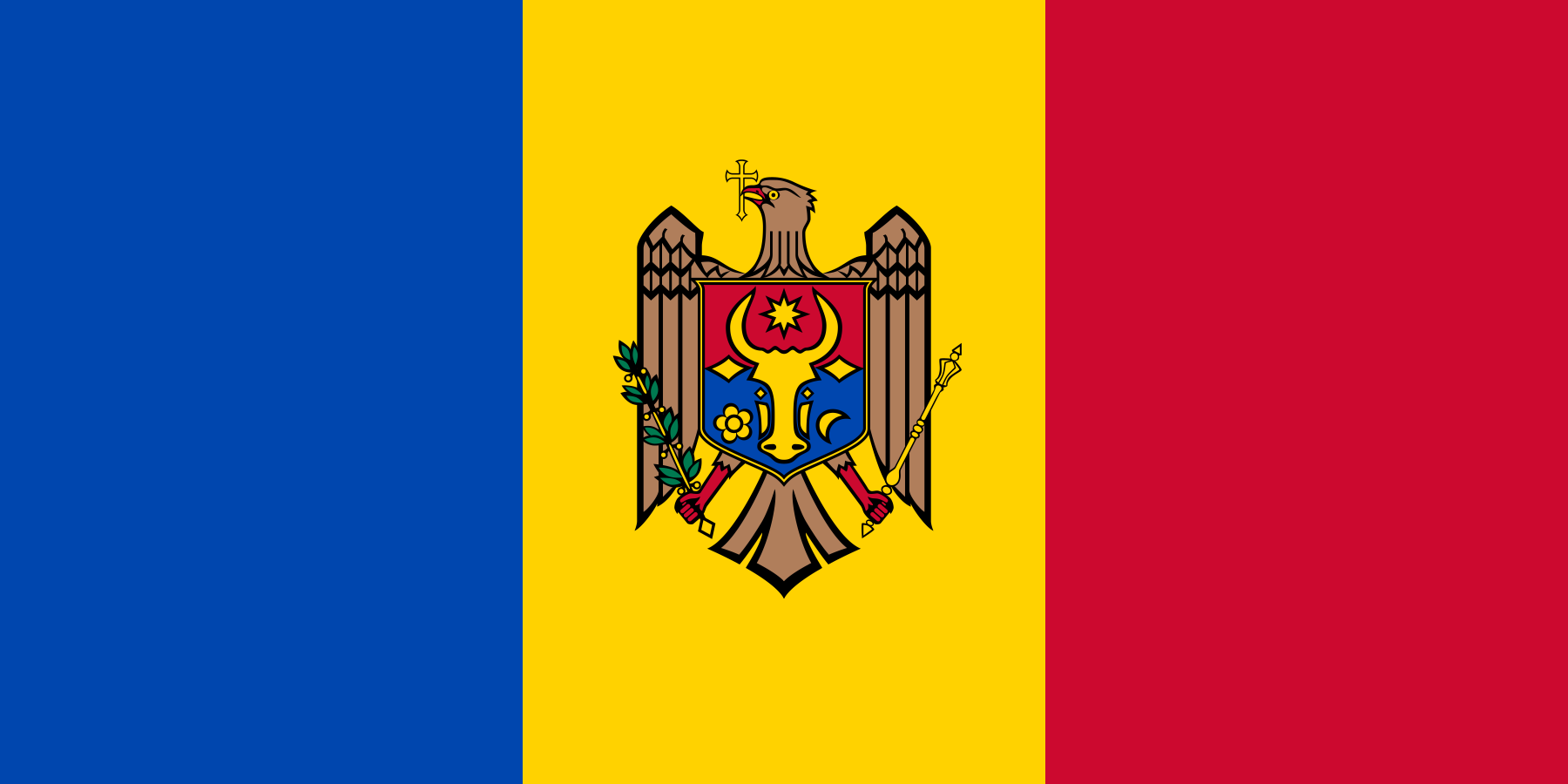
Moldova at a glance
- Capital
- Chișinău
- Quiz continent
- Europe
- Languages in reference record
- Romanian (official language); among others Russian, Ukrainian, Gagauz and Bulgarian
- Currency
- Moldavian leu (MDL)
- Population
- 2,360,527 (2025, World Bank)
- Area
- 33,846 km²
- Coastal setting
- Landlocked
- ISO codes
- MD / MDA
- Internet country suffix
- .md
- Highest point
- Dealul Bălănești, approximately 430 m
- Independence
- 27 August 1991
- Western Border River
- Prut
- Another large river
- Dnister/Nistru
- River Chișinău
- Bîc
- UNESCO World Heritage Site
- Struve-Barch, since 2005
Moldova Flag: Design, Meaning and History
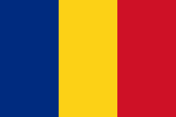
Three equally wide vertical stripes are in blue, yellow and red. In the middle of the yellow stripe lies the state coat of arms with an eagle. Therein lies a sign with an aurochs head. The coat of arms distinguishes the flag from the similarly colored Romanian national flag, which manages without emblem.
The eagle holds a cross in the beak as well as olive branch and scepter in the clutches. The shield connects the aurochs head with star, rose and crescent. These heraldic signs pick up on older regional traditions. For the quiz, the central coat of arms is more reliable than a fine comparison of the blues of similar-looking tricolors.
Capital: Chișinău
Chișinău is located on the River Bîc in the central part of the country. As a capital, it bundles administration, universities and important services. The Romanian spelling with ș and ă is the name form used here; Kischinau and Kishinev meet in other language and historical contexts.
The city is located inland and does not have its own seaport. Its position inland fits the predominantly continental character of the republic. However, a single city name does not tell the entire history of the country: the historic areas of Bessarabia and Moldova are not congruent with the borders of the current state, and “Moldova” also refers to a river in the Czech Republic.
Practise this capital →Moldova: Geography, History and Culture
The terrain is mostly flat-waved to hilly. The Dealul Bălănești reaches about 430 meters. Prut and Dnister, Romanian Nistru, are important rivers; the Prut forms large parts of the border with Romania. Agriculture benefits from fertile soil, while dry periods and erosion affect usage. The landscape thus has the character of a hill country rather than a high mountain.
Romanian is the official language; the corresponding legal designation was confirmed in 2023. In addition, Russian, Ukrainian, Gagauz, Bulgarian and other languages are part of the country. Gagauz is a Turkic language and differs significantly from Romanesque Romanian in linguistic history. National borders and language families therefore do not form simple, completely congruent units here either.
Moldova became independent on 27 August 1991 in connection with the dissolution of the Soviet Union. Viticulture is an important economic and cultural tradition. The area east of the Dniester is largely outside the control of the central government, but no second generally recognized state should be derived from this. Current political details require a dated source, while rivers and historical cultural spaces provide long-term orientation.
Struve arc
Moldova owns part of the cross-border Struve arc, a UNESCO World Heritage site since 2005. The measurement network was used to determine the shape and size of the earth. The entry connects the country with a scientific history that stretches across numerous state borders today.
Prut and Nistru
The two rivers help to read the map of the country. The Prut belongs to the western border area with Romania, the Nistru runs through the east. Its importance extends beyond transport and agriculture to historical and political spatial names.
Wine landscapes
Vines characterize numerous hillside landscapes and are part of economic history. Viticulture is a concrete form of land use, not a property of all people in the country. It illustrates the interplay between soil, relief, climate and regional knowledge.
Explore neighbouring and related places
 Romania
 Ukraine
What did you discover?
Sources and image credits
This English article draws on the institutional sources listed below. Figures and memberships retain their stated reference dates.
Source record: 2 November 2026. A translation does not change the reference date of a figure or membership list.
- github.com/factbook/factbook.json/blob/144d6977b2b01ac1cbd220de754c0a005616760b/europe/md.json
- data.worldbank.org/indicator/SP.POP.TOTL
- whc.unesco.org/en/statesparties/md
- presedinte.md/eng/flag
- presedinte.md/rom/presa/presedinta-maia-sandu-a-promulgat-legea-care-confirma-ca-limba-de-stat-a-republicii-moldova-este-cea-romana
- github.com/mledoze/countries