Kuwait Flag, Capital and Country Facts
Kuwait lies on the northwestern edge of the Persian Gulf between Iraq and Saudi Arabia. The desert landscape and the dense settlement around the capital are in stark contrast to each other. Before the rise of the oil industry, maritime trade and pearl fishing were important. The flag belongs to the Arabic color family, but has its own geometric feature with its black trapezoid.
Test your knowledge →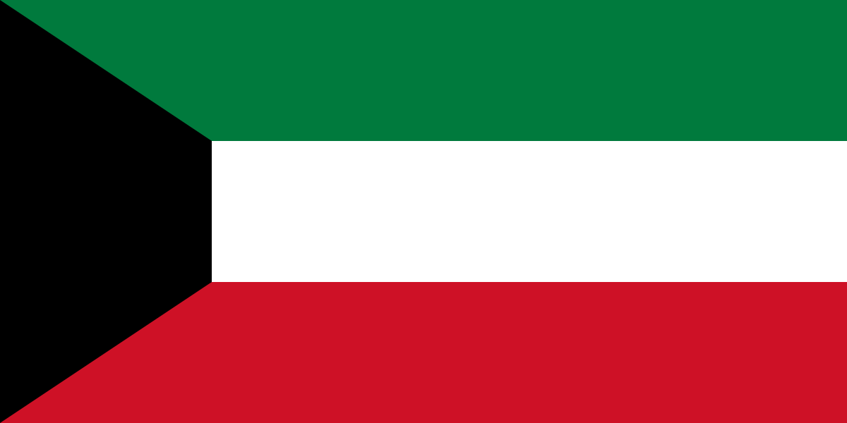
Kuwait at a glance
- Capital
- Kuwait City
- Quiz continent
- Asia
- Languages in reference record
- Arabic; English spread
- Currency
- Kuwait Dinar (KWD)
- Population
- 4,865,298 (2025, World Bank)
- Area
- 17,818 km²
- Coastal setting
- Not landlocked
- ISO codes
- KW / KWT
- Internet country suffix
- .kw
- Independence
- 19 June 1961
- National holiday
- 25 February
- Liberation Day
- 26 February
- Large island
- Bubiyan
- Historical Island
- Failaka
- Neighbouring countries
- Iraq and Saudi Arabia
Kuwait Flag: Design, Meaning and History
Three equally high horizontal stripes run in green, white and red. On the mast is a black trapeze, the narrower side of which points into the flag field. It's not a simple triangle. This geometry helps distinguish Kuwait from other flags with the same pan-Arab colors.
The four colours are part of a common Arabic symbolic tradition, which, among other things, builds on the Arab revolt. The Factbook archive calls historical interpretations such as fertile fields for green and purity for white. The current flag was introduced in 1961 at the time of state independence. Their colors thus describe political and historical references, not the actual vegetation cover of the desert country.
Capital: Kuwait City
Kuwait City is located on the southern side of Kuwait Bay. The name of the country goes back to a diminution form for a fortified settlement. The capital and state thus bear closely related names. Urban space evolved from a coastal settlement into a centre for administration, trade and the oil industry.
The coastal situation explains older maritime functions as well as modern port connections. However, it does not mean a natural supply of plenty of fresh water. Especially in the capital city, it becomes clear how sea access and water scarcity coexist: drinking water supply and infrastructure require special technical solutions in this dry climate.
Practise this capital →Kuwait: Geography, History and Culture
The land is mostly flat to slightly corrugated and has no large mountain ranges. Hot summers, low rainfall and desert soils determine the natural conditions. There are no permanently water-bearing large rivers. This geography clearly distinguishes Kuwait from countries whose settlement has developed along extended river valleys or rainy highlands. The coastal islands complement the predominantly continental desert landscape of the national territory.
The territory includes islands in the Gulf, including Bubiyan and Failaka. Failaka is located near Kuwait Bay and preserves traces of different civilizations. The tentative description published by UNESCO describes Bronze Age and Hellenistic connections. An entry on a tentative list is, however, a candidacy basis and may not be issued as an already awarded World Heritage status.
Kuwait became independent in 1961. The Iraqi invasion of 1990 and the liberation of 1991 are central cuts in recent history. Oil fundamentally changed the economy and urban development, while the large proportion of immigrant workers shapes today's society. Basic economic information used here is based on the factbook archive with a mostly 2025 reference; current government offices are not derived from it.
Failaka's historical layers
The island was part of various trade and settlement spaces. The UNESCO tentative description makes visible the long history of the Gulf beyond the oil age.
Black trapeze
The left flag field has four sides. This detail separates Kuwait from many other Arab flags with a side triangle.
Bay and Desert
The capital is located directly on the sea, but in a dry region. Port function and freshwater supply are therefore two very different tasks.
Explore neighbouring and related places
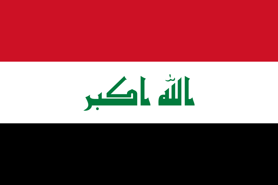 Iraq
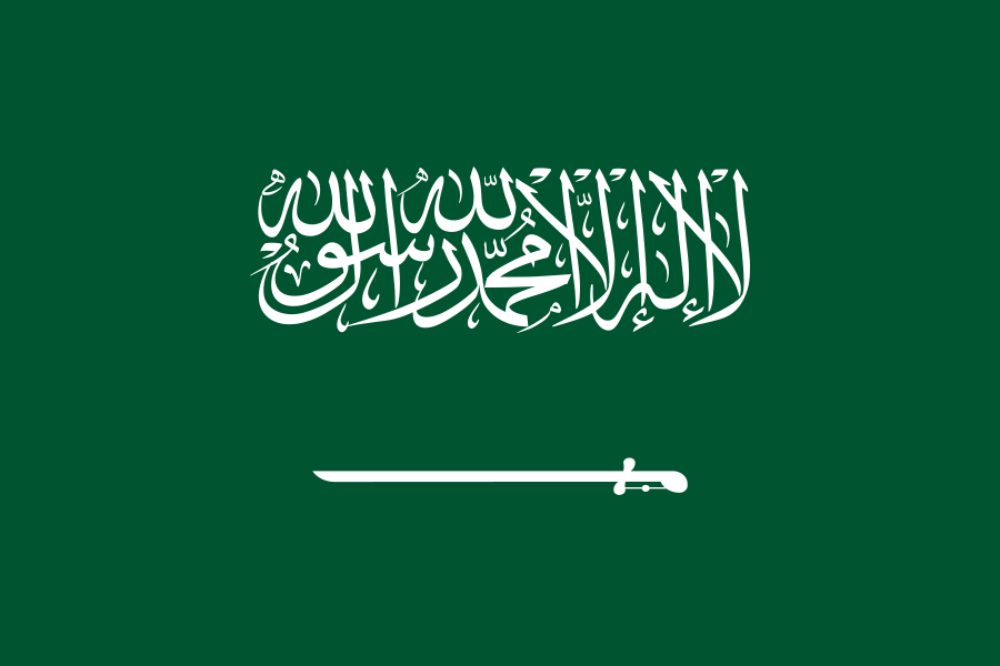 Saudi Arabia
What did you discover?
Sources and image credits
This English article draws on the institutional sources listed below. Figures and memberships retain their stated reference dates.
Source record: 2 November 2026. A translation does not change the reference date of a figure or membership list.
- github.com/factbook/factbook.json/blob/144d6977b2b01ac1cbd220de754c0a005616760b/middle-east/ku.json
- data.worldbank.org/indicator/SP.POP.TOTL
- whc.unesco.org/en/tentativelists/6800/
- github.com/mledoze/countries