Estonia Flag, Capital and Country Facts
Estonia lies on the eastern Baltic Sea and is the northernmost of the three Baltic countries. Tallinn looks across the Gulf of Finland towards Finland. In addition to the medieval capital, islands, forests, moors and flat coasts are part of the country's image; in the south, the terrain becomes a bit more hilly without assuming a high mountain character.
Test your knowledge →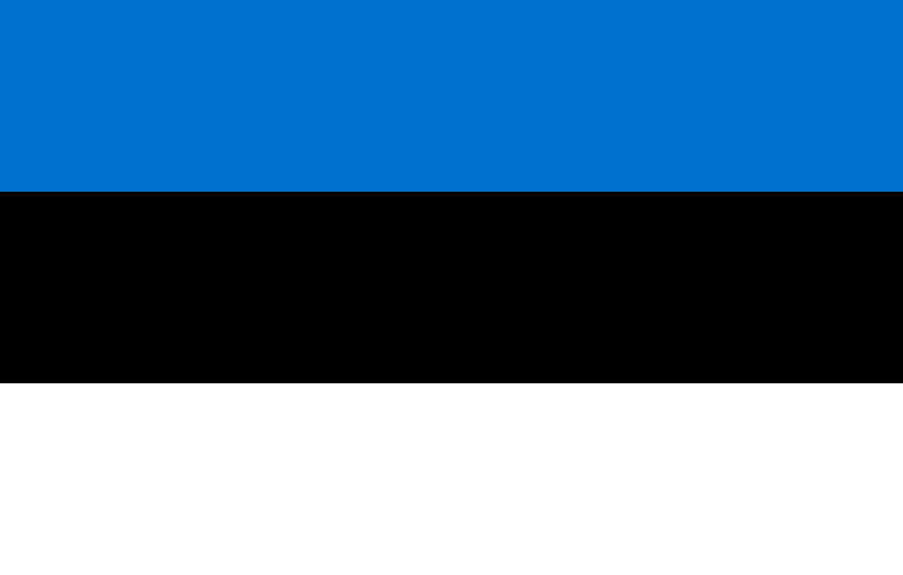
Estonia at a glance
- Capital
- Tallinn
- Quiz continent
- Europe
- Languages in reference record
- Estonian; Russian is another important everyday language
- Currency
- Euro (EUR)
- Population
- 1,366,475 (2025, World Bank)
- Area
- 45,227 km²
- Coastal setting
- Not landlocked
- ISO codes
- EE / EST
- Internet country suffix
- .ee
- Highest point
- Suur Munamägi, 318 m
- National holiday
- 24 February
- Large island
- Saaremaa
- Another large island
- Hiiumae
- National bird
- Smoke choke
- National flower
- Cornflower
Estonia Flag: Design, Meaning and History
The flag consists of three equally high horizontal stripes in blue, black and white. Blue is at the top, white at the bottom. The unusual black center makes the motif particularly recognizable: it is neither a red-white-blue tricolor nor one of the Nordic flags with a continuous cross.
The colors are associated with, among other things, sky and water, the soil and historical experiences as well as snow, birch bark and hope. Such interpretations provide additional reference points for the simple streak sequence. However, the fixed order blue-black-white remains crucial for recognition, which is unambiguous even without individual symbol explanations.
Capital: Tallinn
Tallinn is located on the south coast of the Gulf of Finland. Its location connects Estonia with the sea routes of the Baltic Sea and opposite Finland. The capital is also an important port location; political function, traffic and historical trade meet in the same coastal area instead of being distributed to distant parts of the country.
The old town is a UNESCO World Heritage site and preserves the structure of a northern European trading city. Oberstadt and Unterstadt, fortifications and merchant buildings open up various historical functions. The former German name Reval appears in older sources; Tallinn is the current designation of the same city and should not be understood as another place in the quiz.
Practise this capital →Estonia: Geography, History and Culture
Estonia’s relief is mostly low. The Suur Munamägi in the south reaches 318 meters and is the highest point in the country. Moores and forests characterize large spaces, while numerous islands expand the western coast. Saaremaa and Hiiumaa are among the most famous; the coastline can therefore not be recorded on the mainland map alone.
Estonian is one of the Finno-Ugric languages and is related to Finnish. This distinguishes it from Latvian and Lithuanian, although all three states are grouped under the geographical term Baltic. So a common region does not mean a common language family; this difference is especially helpful when countries and languages are learned together.
The declaration of independence took place on 24 February 1918, the restoration of state independence in 1991. These two dates denote different historical processes. In addition to Tallinn, UNESCO runs the Struve arc as a World Heritage Site: a cross-border surveying project that connects Estonia with other states between northern Europe and the Black Sea.
A surveyed continent
The Struve arc consists of historical surveying points in several states. Its inclusion in the World Heritage List shows that scientific cooperation can be as worthy of protection as churches or castles; in Estonia, this history is part of international cartography.
Baltic but linguistically different
Estonian is not a Baltic language in the linguistic sense. The kinship with Finnish complements the visible proximity over the Gulf of Finland and helps to distinguish geographical collective terms from linguistic divisions cleanly.
Islands off the mainland
Saaremaa and Hiiumaa expand Estonia's territory far into the Baltic Sea. If you only look at the land borders, you overlook an important part of the country and its coastal culture; on the map, islands and mainland therefore belong together.
Explore neighbouring and related places
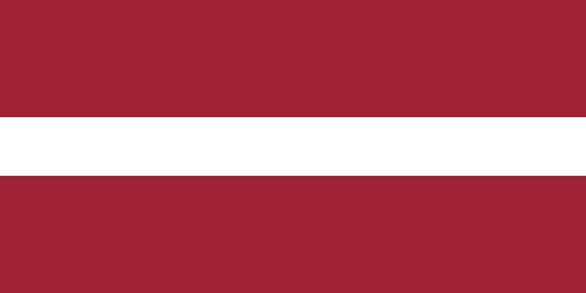 Latvia
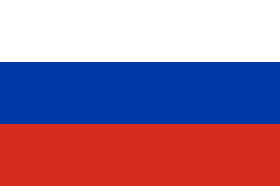 Russia
What did you discover?
Sources and image credits
This English article draws on the institutional sources listed below. Figures and memberships retain their stated reference dates.
Source record: 2 November 2026. A translation does not change the reference date of a figure or membership list.
- github.com/factbook/factbook.json/blob/144d6977b2b01ac1cbd220de754c0a005616760b/europe/en.json
- data.worldbank.org/indicator/SP.POP.TOTL
- whc.unesco.org/en/statesparties/ee/
- github.com/mledoze/countries