Equatorial Guinea Flag, Capital and Country Facts
Equatorial Guinea consists of a continental part and several islands in the Gulf of Guinea. This spatial separation is crucial for understanding the country. Since the decree of 2 January 2026, Ciudad de la Paz has been the capital. Malabo on the island of Bioko remains as a former capital an important historical and geographical reference point.
Test your knowledge →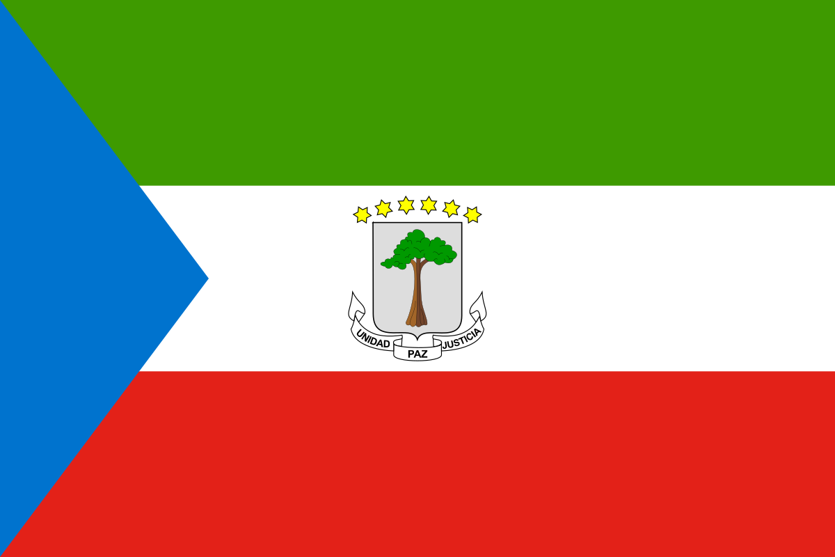
Equatorial Guinea at a glance
- Capital
- Ciudad de la Paz
- Quiz continent
- Africa
- Languages in reference record
- Spanish, French and Portuguese; other local languages
- Currency
- Central African CFA franc (XAF)
- Population
- 1,938,431 (2025, World Bank)
- Area
- 28,051 km²
- Coastal setting
- Not landlocked
- ISO codes
- GQ / GNQ
- Internet country suffix
- .gq
- Former capital
- Malabo
- Highest mountain
- Pico Basilé, 3.008 m
- Large island
- Bioco
- Southern Island
- Annobón
- Independence
- 12 October 1968
- Capital Province
- Djibloho’
Equatorial Guinea Flag: Design, Meaning and History
The supplied dataset records Ciudad de la Paz as the capital from 2 January 2026; previously it was Malabo.
The flag shows three equally wide transverse stripes in green, white and red. From the left, a blue triangle extends into the surface. In the white middle strip stands the state coat of arms with a tree, six stars and a banner. Only the interaction of triangle and coat of arms makes the flag clear; a simple green-white-red tricolor would not be sufficient.
The tree in the coat of arms is a silk wool tree. The six gold stars are referred to the mainland and five islands. The motto is Unidad, Paz, Justicia, that is, unity, peace and justice. The factbook archive of 2025 combines green with natural wealth, blue with the sea, white with peace and red with the struggle for independence.
Capital: Ciudad de la Paz
Ciudad de la Paz is located on the mainland in the province of Djibloho. The official decree of 2 January 2026 declared the city to be the capital and provided for a period of one year for the relocation of state institutions. The legal change of capital and the practical relocation of the administration are therefore to be understood as interrelated but different processes.
Malabo is located on Bioko, spatially separated from the mainland. The earlier capital statement in an archive stand from 2025 is therefore historically explainable, but for the current quiz answer obsolete. Bata is another important center on the mainland. These three cities illustrate the question of how state functions are distributed between island and mainland regions.
Practise this capital →Equatorial Guinea: Geography, History and Culture
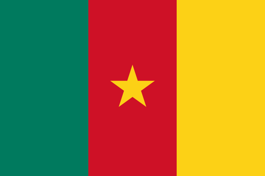
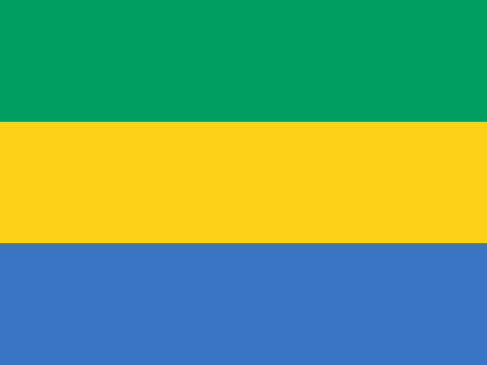
The mainland borders Cameroon and Gabon; the islands are located in different parts of the Gulf of Guinea. Bioko is volcanic and has the highest mountain in the country with the Pico Basilé. Annobón is much further south. Despite the name of the country, the equator does not run through the national territory: mainland and bioco are north, Annobón south of it.
Due to its colonial history, Spanish is particularly formative and distinguishes Equatorial Guinea from many neighbouring states in terms of language history. In addition, French and Portuguese have an official status, while Fang and Bubi, among others, represent local language areas. Official multilingualism must not be confused with an equal use of all three European languages in everyday life.
Since 2026, the UNESCO country profile has included several natural and cultural sites on the list of proposals, including Monte Alén, Pico Basilé, Annobón and the Church of Batete. They reflect geographical diversity. Such preparation for a nomination does not yet mean registration as a World Heritage Site. Especially in lesser known countries, this distinction protects against an inaccurate appreciation of individual sights.
New capital city name
Ciudad de la Paz means City of Peace. The official decree of 2026 is the main source for the capital change.
Island and mainland
Malabo is located on Bioko, Ciudad de la Paz on the mainland. The change of capital therefore also has a clearly recognizable geographical dimension.
No equator in the territory
The name is geographically only approximate. The parts of the country are on different sides of the equator, but are not cut by it.
Explore neighbouring and related places
 Cameroon
 Gabon
What did you discover?
Sources and image credits
This English article draws on the institutional sources listed below. Figures and memberships retain their stated reference dates.
Source record: 2 November 2026. A translation does not change the reference date of a figure or membership list.
- github.com/factbook/factbook.json/blob/144d6977b2b01ac1cbd220de754c0a005616760b/africa/ek.json
- data.worldbank.org/indicator/SP.POP.TOTL
- whc.unesco.org/en/statesparties/gq
- guineaecuatorialpress.com/noticias/decreto_ley_por_el_que_se_declara_la_ciudad_de_la_paz_djibloho_capital_de_la_republica_de_guinea_ecuatorial
- github.com/mledoze/countries