Dominican Republic Flag, Capital and Country Facts
The Dominican Republic occupies the eastern part of Hispaniola; to the west lies Haiti. High mountains, dry depressions and tropical coasts contradict the image of an exclusively flat holiday island. Their flag connects a white cross with red and blue fields. The capital, Santo Domingo, preserves significant evidence of the early European colonization of America.
Test your knowledge →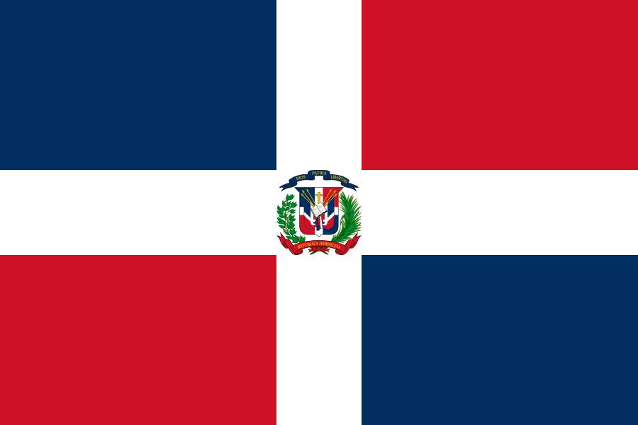
Dominican Republic at a glance
- Capital
- Santo Domingo
- Quiz continent
- North America
- Languages in reference record
- Spanish
- Currency
- Dominican Peso (DOP)
- Population
- 11,520,487 (2025, World Bank)
- Area
- 48,671 km²
- Coastal setting
- Not landlocked
- ISO codes
- DO / DOM
- Internet country suffix
- .do
- Island
- Hispaniola
- Neighbourhood
- Haiti
- Highest summit
- Pico Duarte, archive value 3.098 m
- Sea below sea level
- Lago Enriquillo
- Independence Day
- 27 February 1844
- The River of the Capital
- Ozama
Dominican Republic Flag: Design, Meaning and History
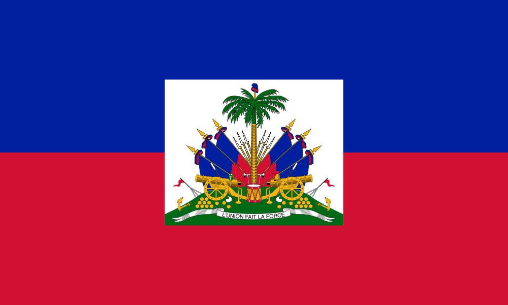
A white cross reaches to all four flag edges. It separates four rectangular fields: blue on the top left and red on the bottom right and red on the bottom left. At the intersection is the coat of arms of the state. The flag is therefore neither a simple tricolor nor to be confused with the blue-red motif of Haiti.
The coat of arms contains an open Bible, a shield and palm and laurel branches. A blue ribbon bears the slogan Dios, Patria, Libertad. The Factbook archive combines blue with freedom, white with salvation and red with the victims of the freedom struggles. The motive goes back to the independence movement of the 19th century.
Capital: Santo Domingo
Santo Domingo is located on the south coast at the mouth of Ozama. The capital is a political and economic centre as well as an important port space. The estuary explains the early colonial choice of location: a protected access from the sea was important for supply, trade and control of the hinterland.
UNESCO lists the colonial city of Santo Domingo as a World Heritage Site. Its streets and buildings document the early expansion of European domination in America. This history also includes the displacement of indigenous societies and colonial exploitation. The old buildings are therefore not only architectural sights, but testimonies to profound political changes.
Practise this capital →Dominican Republic: Geography, History and Culture
The mountains in the interior rise to the Pico Duarte to more than 3,000 meters. At the same time, Lake Enriquillo is below sea level. This high altitude difference on an island creates different climate and habitats. Compared to a uniformly tropical-moist coastline, the interior has considerably drier and cooler areas. Fertile valleys lie between the mountain ranges. Agricultural locations are therefore shaped by the location in the relief as well as by the distance to the coast. The high mountains do not produce the same rainfall conditions everywhere.
Spanish is the official language. The history of the population connects indigenous, African and European influences without a uniform cultural profile of each person. The border with Haiti separates two states with different colonial languages and historical developments on the same island. Hispaniola is the island name, not the alternative name of one of the two countries.
The National Day on February 27 commemorates the independence of Haiti in 1844. Later Spanish annexation and restoration of independence show that state formation was not a single straightforward process. Agriculture, tourism and services are part of the economic picture in the factbook archive stand of 2025. Regional landscapes are used very differently by these activities.
Colonial town
Santo Domingo's historic core became a World Heritage Site in 1990. It is the registered cultural place of the Republic in the UNESCO Overview of Countries.
High and deep
Pico Duarte and Lago Enriquillo are in the same state. The juxtaposition makes the strong relief structure of the island clear.
Marine spaces
Atlantic Ocean in the north and Caribbean Sea in the south characterize different coastlines. Both belong to the larger Atlantic Ocean System.
Explore neighbouring and related places
 Haiti
What did you discover?
Sources and image credits
This English article draws on the institutional sources listed below. Figures and memberships retain their stated reference dates.
Source record: 2 November 2026. A translation does not change the reference date of a figure or membership list.
- github.com/factbook/factbook.json/blob/144d6977b2b01ac1cbd220de754c0a005616760b/central-america-n-caribbean/dr.json
- data.worldbank.org/indicator/SP.POP.TOTL
- whc.unesco.org/en/statesparties/do
- github.com/mledoze/countries