Prague: City Flag, History and Identity
Prague is located on the Moldova and is the capital of the Czech Republic. On the simple city flag is yellow over red. The city itself is considerably more complex: the castle, the small side, the old town and the new city can be traced back to different historical developments. Their connection across the river makes it understandable why Prague can be read as an ensemble of several grown centers.
Test your knowledge →
Prague at a glance
- Name
- Prague
- Country
- Czechia
- Profile type
- City
- River
- Moldova/Vltava
- Historical region
- Bohemia
- Administrative status
- Municipality and independent region
- Unification of four Prague cities
- 1784
- Greater Prague
- Since 1922
- UNESCO recording of the Centre
- 1992
- Early castle construction
- Late 9th century
- Figure decoration of the Charles Bridge
- 30 statues and groups of figures
- Creation of the Old Town Ring
- Since the 12th century
The Flag of Prague
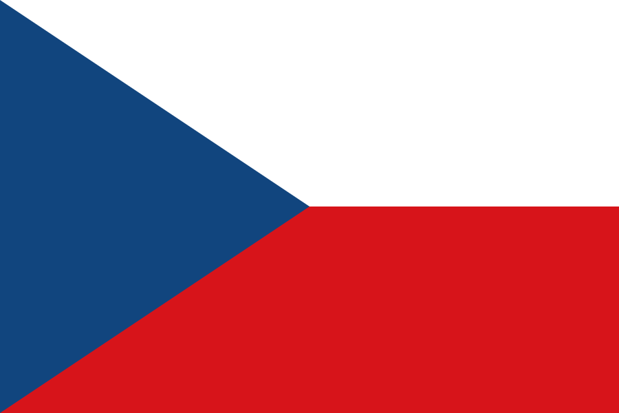
The Prague flag shown here is divided horizontally into yellow above and red below. The two tracks are the same size. There is no coat of arms or other motif. This concrete simple form should not be confused with the Czech national flag, whose color areas and arrangement are clearly different.
For this illustration, an exact color description is sufficient. Yellow is often referred to as gold in heraldic contexts; but this does not follow any special landscape or founding legend. City flag and Prague city coat of arms are different forms of representation. Those who confuse the two could expect buildings or figures that are actually not visible on the two-colored flag shown here.
Prague: Location and Territorial Role
Prague is located in Bohemia on the Moldova, in Czech Vltava. The river separates and connects the historic districts. The Prague Castle was built on an elevation on the left bank; on the other side, further settlements developed. Topography and waters are therefore fundamental prerequisites of the city's history and not just the background of individual famous views.
Prague is both a municipality and an independent region. The Czech Statistical Office explains this special administrative status and the historical development of the urban area. Today’s borders do not simply correspond to a medieval city centre. Several formerly independent cities and later further suburbs were brought together; the modern name thus bundles spatially and historically different parts.
Landscape, History and Culture
In 1784, Altstadt, Neustadt, Kleinseite and Hradschin were united. In 1922, the so-called Greater Prague was created by larger incorporations. These two dates indicate different stages. They help to read historical maps and classify old place names. A district can have a long history of its own, although today it is of course part of a common capital.
UNESCO added the historic centre to the World Heritage List in 1992. The recognition concerns the interplay between urban structure and important buildings of different eras. The political and cultural role of Prague, especially in the Middle Ages, is essential. The World Heritage term refers to a delimited ensemble and is not a blanket statement about any subsequent expansion of the city.
The Charles Bridge is one of the striking connections across Moldova. The municipal tourism organization describes the towers and the series of thirty saint figures and figurine groups. This equipment gives the bridge its own religious and artistic history. As a transport link, it also connects the districts and makes the river landscape directly tangible.
Old Town Ring
The Old Town Ring has developed into a central square since the 12th century. Around him are, among others, the Old Town Hall, the Teynkirche and the Palais Kinský. Various architectural styles meet there. The square is therefore particularly suitable for understanding Prague as a historically grown structure and not as a uniform building project of a single epoch.
Prague Castle
The Prague Castle leads to the early political beginnings of the city. Already in the late 9th century a fortified settlement area was built on the elevation. The subsequent development underneath the castle shows the relationship between dominion and urban growth. The terrain on the river offered different conditions than the elevated installation and promoted different uses.
Charles Bridge between the districts
The small side and the old town can be connected by a corridor over the Charles Bridge. Such a spatial context explains the city’s history more accurately than an isolated list of attractions. Bridge, shore and altitude make visible how several centers worked together. The current capital thus preserves traces of a time before its communal unification in the ground plan.
Explore this country and nearby profiles
 Czechia
What did you discover?
Take this flag into the quiz
Sources and image credits
This English article draws on the institutional sources listed below. Figures and memberships retain their stated reference dates.
Source record: 2 November 2026. A translation does not change the reference date of a figure or membership list.
- csu.gov.cz/pha/historie_vnitrniho_usporadani_hlavniho_mesta_prahy
- whc.unesco.org/en/list/616/
- prague.eu/en/objevujte/charles-bridge-karluv-most/
- prague.eu/en/objevujte/old-town-square-staromestske-namesti/
- commons.wikimedia.org/wiki/File%3AFlag_of_Prague.svg